South Asia Polity Map

Marcus Rodriguez
Historical Geography Expert
Marcus Rodriguez specializes in historical cartography and geographic data analysis. With a background in both history and geography, he brings unique...
Geographic Analysis
What This Map Shows
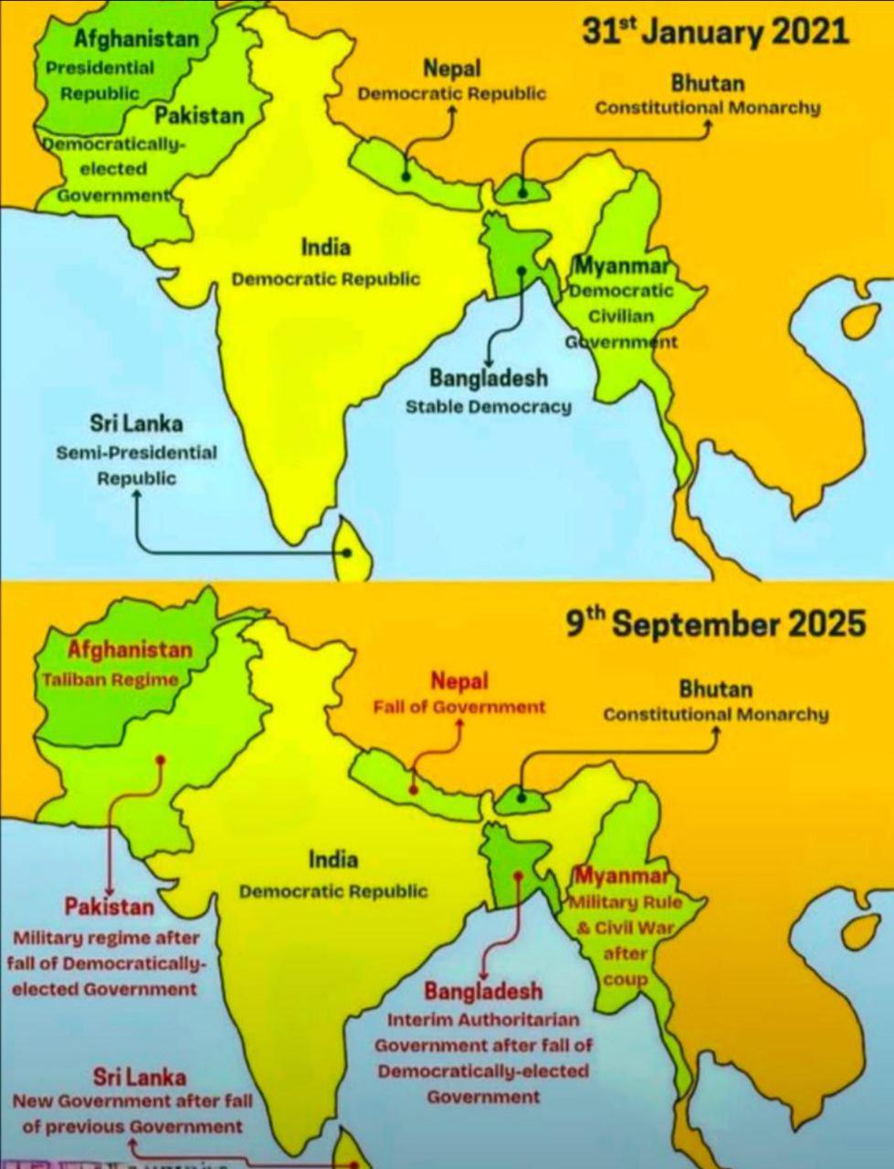
The "South Asia Polity Map" provides a detailed visualization of the political boundaries and governance structures across South Asia, an incredibly diverse and dynamic region. This area includes countries such as India, Pakistan, Bangladesh, Nepal, Bhutan, Sri Lanka, and the Maldives. The map highlights not only national borders but also sub-national divisions such as states, provinces, and union territories. By examining this map, we can gain insights into the political landscape of South Asia, a region that is home to over a billion people and has a rich tapestry of cultures, languages, and histories.
Deep Dive into South Asian Polity
South Asia is characterized by a complex political framework influenced by its colonial history, ethnic diversity, and socio-economic factors. Most countries in this region were formerly part of the British Empire, leading to shared governance challenges and democratic frameworks. However, each nation has developed its unique political identity over the years.
India, the largest democracy in the world, is a federal parliamentary democratic republic. It is divided into 28 states and 8 Union territories, each with its own government. The political structure allows for a significant degree of autonomy, especially in states with distinct linguistic and cultural identities. For instance, Tamil Nadu has a strong regional political party that prioritizes the Tamil language and culture, influencing local governance and policies.
Interestingly, Pakistan, which emerged as a separate nation in 1947, has experienced a series of military coups and political instability. It is divided into four provinces, along with autonomous territories like Gilgit-Baltistan. The ongoing conflict in Kashmir, a region claimed by both India and Pakistan, adds another layer of complexity to the political landscape, impacting regional stability and governance.
Bangladesh, a nation that gained independence from Pakistan in 1971, has a parliamentary democracy and is divided into 8 administrative divisions. The country has made remarkable strides in socio-economic development, yet political challenges such as corruption and political violence persist. The dominance of the Awami League and its rivalry with the Bangladesh Nationalist Party (BNP) shapes the political discourse in the country.
Nepal and Bhutan, both landlocked and nestled in the Himalayas, exhibit different governance styles. Nepal transitioned from a monarchy to a federal democratic republic in 2008, with a constitution that emphasizes federalism and inclusivity. Bhutan, on the other hand, is a constitutional monarchy that prioritizes Gross National Happiness, reflecting its unique approach to governance and development.
Finally, Sri Lanka, which has experienced a civil war that lasted nearly three decades, is a unitary state with a significant degree of decentralization. The political dynamics are influenced by ethnic tensions primarily between the Sinhalese majority and the Tamil minority, leading to ongoing discussions about power-sharing and autonomy.
Regional Analysis
When we analyze the polity of South Asia by regions, distinct patterns emerge. Northern India, encompassing states like Punjab and Haryana, is politically vibrant, with strong regional parties that often challenge national parties like the Bharatiya Janata Party (BJP) and the Indian National Congress. On the other hand, southern states like Kerala and Tamil Nadu have a history of strong local governance and social welfare policies, often leading the way in literacy and health indicators.
In contrast, the western region, particularly Gujarat and Maharashtra, has seen significant economic growth and urbanization, influencing political strategies that focus on development and business-friendly policies. Meanwhile, in Pakistan's Sindh province, Karachi's metropolitan dynamics and ethnic diversity create a unique political climate that contrasts sharply with the more conservative attitudes found in Khyber Pakhtunkhwa and Balochistan.
Interestingly, the Maldives, although geographically separate, faces unique challenges in governance due to its small size and reliance on tourism. Political instability has also affected its governance, showcasing how small island nations can experience significant political upheaval.
Significance and Impact
Understanding the political landscapes of South Asia is crucial for several reasons. The region plays a pivotal role in global geopolitics, given its strategic location and economic potential. For instance, India’s growing economy and its influence as a regional power have significant implications for trade and security in the Indian Ocean. Moreover, the political stability of countries in South Asia can have direct effects on issues like climate change, migration, and security.
Moreover, as South Asia continues to grapple with challenges such as poverty, inequality, and environmental sustainability, the political structures in place will determine how effectively these issues are addressed. Future projections indicate that regional cooperation could enhance economic integration and development, but this requires stable governance and political will.
In conclusion, the South Asia Polity Map not only serves as a visual representation of boundaries and governance but also invites us to delve deeper into the intricate political dynamics that shape the lives of millions in this vibrant region. As we look ahead, understanding these political contexts will be crucial for fostering dialogue and cooperation in an increasingly interconnected world.
Visualization Details
- Published
- September 12, 2025
- Views
- 64
Comments
Loading comments...