Erupting Volcano Map of Iceland

David Chen
Data Visualization Specialist
David Chen is an expert in transforming complex geographic datasets into compelling visual narratives. He combines his background in computer science ...
Geographic Analysis
What This Map Shows
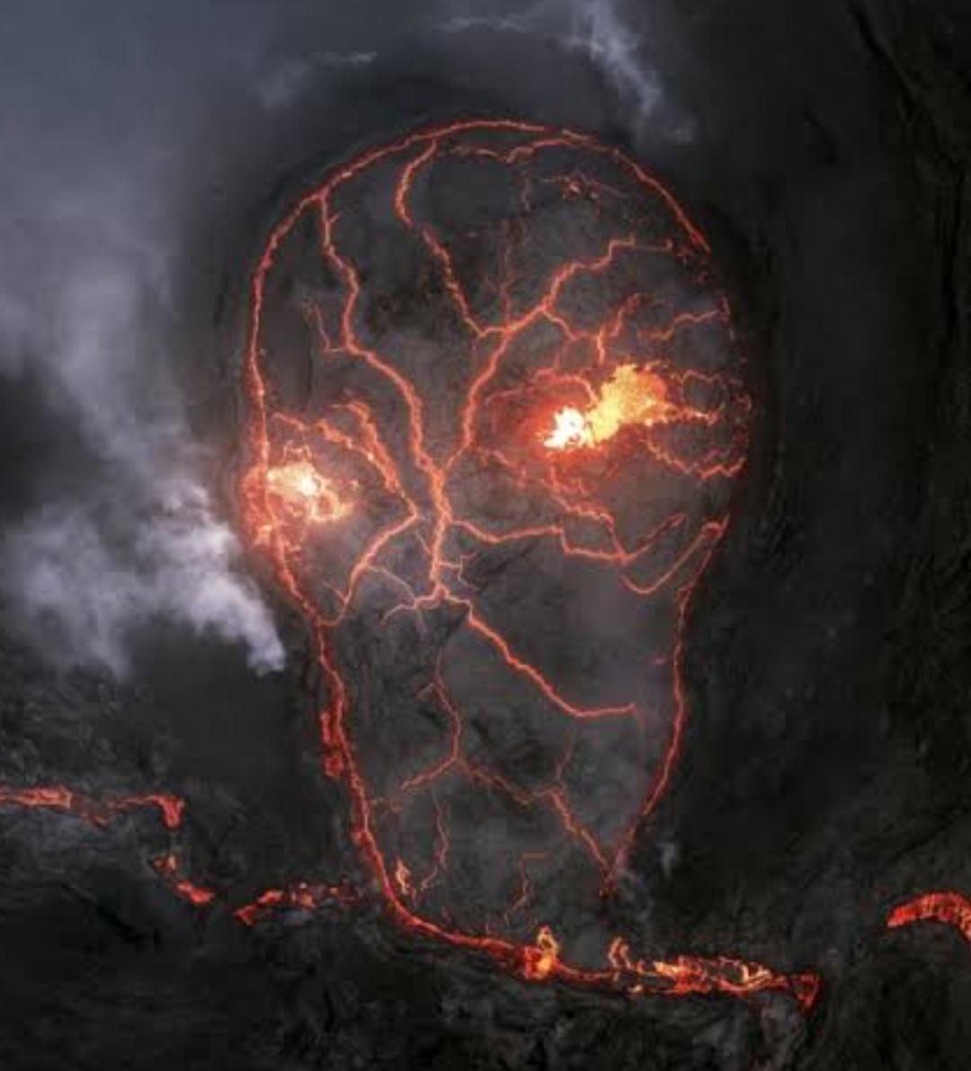
This visualization presents a detailed aerial view of an erupting volcano in Iceland, capturing the dynamic and ever-changing nature of volcanic activity. It visually represents not only the lava flow trajectories and ash dispersal patterns but also highlights the surrounding geographical features that may be impacted by such eruptions. The map provides crucial information for scientific analysis and may serve as an essential tool for emergency management and environmental studies.
Deep Dive into Volcanic Activity in Iceland
Iceland, often termed the "land of fire and ice," is one of the most volcanically active places on Earth. The island is located on the Mid-Atlantic Ridge, where the North American and Eurasian tectonic plates are diverging. This unique geological setting creates conditions ripe for volcanic activity, making it a hotspot for researchers and volcano enthusiasts alike.
What's fascinating is that Iceland's volcanoes are not just random geological features; they are part of a complex system of fissures and volcanic centers. One of the most notable eruptions in recent history occurred at Eyjafjallajökull in 2010, which disrupted air travel across Europe due to the extensive ash cloud generated. This incident highlighted how volcanic eruptions can have far-reaching effects, affecting not only local ecosystems but also global transport systems.
Iceland's volcanic eruptions can vary significantly in style and intensity, ranging from effusive eruptions, where lava flows gently out of the volcano, to explosive eruptions that can send ash and gas high into the atmosphere. For instance, the 2014-2015 eruption of Holuhraun was primarily effusive, resulting in the largest lava flow in Iceland since the 18th century.
The impact of eruptions extends beyond immediate hazards. They can also contribute to the formation of new land. The volcanic activity in Iceland has been responsible for creating some of its most stunning landscapes, including lava fields, craters, and geothermal areas.
Interestingly, volcanic eruptions can also significantly influence the climate. For example, large explosive eruptions can inject significant amounts of sulfur dioxide into the atmosphere, which can lead to temporary cooling effects globally. This was seen after the eruption of Laki in 1783, which caused widespread climate anomalies in Europe.
Regional Analysis
The map showcases various regions in Iceland, each with its unique volcanic features and activity levels. For instance, the Reykjanes Peninsula is home to several active volcanoes and has seen increased activity in recent years, suggesting that the area may be entering a new volcanic cycle. In contrast, the Vatnajökull region, which contains Europe’s largest glacier, features volcanoes like Bárðarbunga, known for its explosive potential.
When comparing the eastern and western parts of Iceland, the differences in volcanic activity become apparent. The eastern region tends to experience less frequent eruptions, while the western part, particularly around the Snæfellsnes Peninsula, showcases a variety of volcanic formations, including stratovolcanoes and shield volcanoes.
Additionally, the map can help pinpoint areas at greater risk of volcanic hazards, such as settlements located near active volcanoes. Understanding these regional differences is crucial for disaster preparedness and risk management.
Significance and Impact
Why should we care about volcanic activity in Iceland? For starters, the ongoing eruptions and the geological processes at play provide invaluable information for scientists studying Earth's interior and tectonics. Moreover, the economic implications cannot be overlooked. Iceland relies heavily on tourism, and volcanic landscapes attract visitors from all over the globe. However, eruptions can also disrupt travel and local economies, as seen with the Eyjafjallajökull event.
Furthermore, as climate change continues to influence global weather patterns, the interplay between volcanic eruptions and climate systems becomes increasingly important. Future projections suggest that the frequency and nature of volcanic eruptions may change in response to environmental shifts, making ongoing monitoring essential.
In conclusion, the aerial view of an erupting volcano in Iceland not only serves as a stunning visual representation of nature's power but also as a reminder of the significance of understanding volcanic activity for science, safety, and sustainable development. With ongoing research and advancements in monitoring technology, we are better equipped than ever to respond to volcanic events and mitigate their impacts on both local and global scales.
Visualization Details
- Published
- September 10, 2025
- Views
- 60
Comments
Loading comments...