Eight Federal Districts of Russia Map

Alex Cartwright
Senior Cartographer & GIS Specialist
Alex Cartwright is a renowned cartographer and geographic information systems specialist with over 15 years of experience in spatial analysis and data...
Geographic Analysis
What This Map Shows
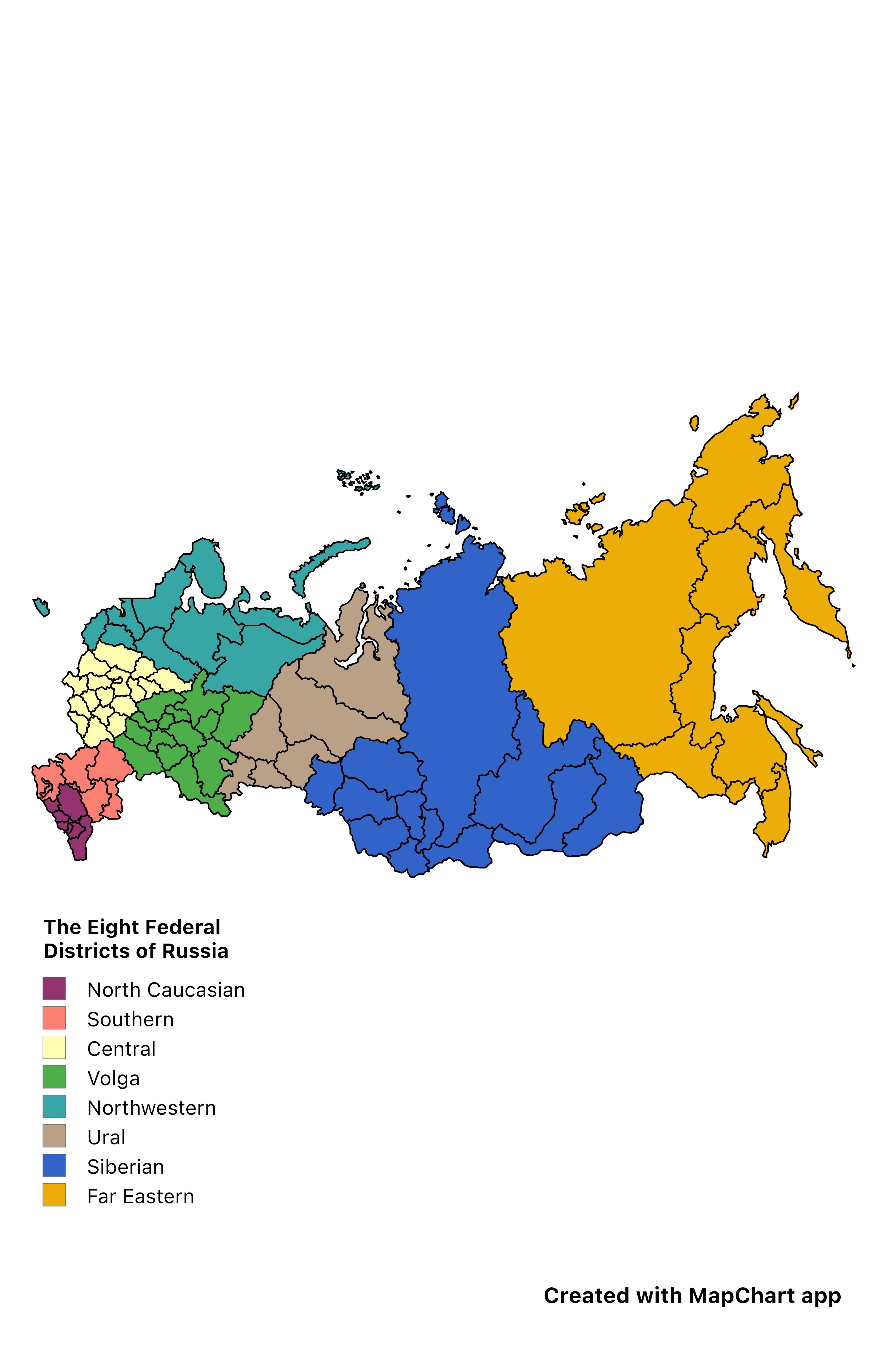
The "Eight Federal Districts of Russia" map provides a clear visual representation of the administrative divisions within the vast expanse of Russia. Each federal district is outlined, showcasing the geographical boundaries that delineate these regions. This layout not only aids in understanding the spatial organization of Russia’s governance but also highlights the diversity that exists within these districts. From the more populated urban centers to the remote, sparsely populated areas, this map serves as a gateway to exploring Russia's complex administrative structure.
Deep Dive into the Federal Districts of Russia
Russia is one of the largest countries in the world, spanning eleven time zones and a variety of climates and terrains. Its governance system is organized into eight federal districts, each with its own unique characteristics, demographic makeup, and economic significance. These districts are: Central, Southern, Northwestern, Volga, Ural, Siberian, Far Eastern, and North Caucasian.
What’s fascinating is how these districts reflect not just administrative convenience, but also cultural and historical narratives. For instance, the Central Federal District, which includes Moscow, is the most densely populated region, with a significant concentration of the country's political and economic power. In contrast, the Far Eastern Federal District is characterized by its vast, rugged landscapes and a much lower population density, emphasizing the geographical diversity found within Russia.
Each district has its own demographic profile. According to the 2021 census, the Central Federal District has a population of over 40 million, making it home to nearly a third of Russia’s total population. The Northwestern District follows with about 14 million residents, while the Siberian District, despite its massive land area, is one of the least populated, with only about 19 million people. This stark contrast raises interesting questions about urbanization and migration patterns across the country.
Economically, the districts also differ widely. The Central Federal District, with Moscow at its heart, contributes significantly to Russia's GDP, largely due to its concentration of industries, financial institutions, and cultural attractions. Conversely, the Siberian Federal District is rich in natural resources, including oil, gas, and minerals, which play a crucial role in the nation’s economy. However, the challenge lies in balancing resource extraction with environmental conservation, especially in such ecologically sensitive areas.
Interestingly, the geographic layout of these districts influences not only the economy but also transportation and infrastructure development. The extensive railway systems and road networks that connect these regions reflect the logistical challenges posed by Russia's size. For example, the Trans-Siberian Railway traverses several federal districts, showcasing the importance of connectivity for trade and movement.
Regional Analysis
Let’s take a closer look at how these federal districts compare and contrast. The Central Federal District stands out due to its urbanization and economic prowess. It is characterized by a high standard of living and is the hub of educational and cultural institutions. In contrast, the North Caucasian Federal District faces challenges related to socio-economic development and ethnic diversity, often resulting in regional tensions.
Moving to the Ural Federal District, this region serves as a natural boundary between Europe and Asia and is notable for its industrial output, particularly in metallurgy and machinery. Meanwhile, the Southern Federal District, with its warm climate and fertile soil, is the agricultural heartland of Russia, producing significant quantities of grains and vegetables.
Siberia, often viewed through the lens of its harsh climate and remote landscapes, is home to indigenous populations with rich cultural traditions, yet it grapples with issues like population decline as younger generations migrate toward urban centers for better opportunities. The Far Eastern Federal District, despite its low population density, is strategically important due to its proximity to Asia and potential for trade growth.
Significance and Impact
Understanding the federal districts of Russia is crucial for a variety of reasons. From a geopolitical perspective, these divisions impact regional governance and policy-making. They also play a role in how resources are allocated and how development strategies are crafted, particularly in balancing urban growth with rural sustainability.
Current trends show an increasing focus on infrastructure development, especially in the Far Eastern District, as Russia aims to strengthen its economic ties with Asian markets. Environmental considerations are also gaining prominence, particularly in resource-rich areas like Siberia, where there is a push for more sustainable practices.
In summary, the federal districts of Russia are more than just lines on a map; they represent the intricate tapestry of a nation characterized by diversity in culture, economy, and geography. As we look toward the future, these districts will continue to shape the narrative of Russia's development and its role on the global stage.
Visualization Details
- Published
- August 23, 2025
- Views
- 194
Comments
Loading comments...