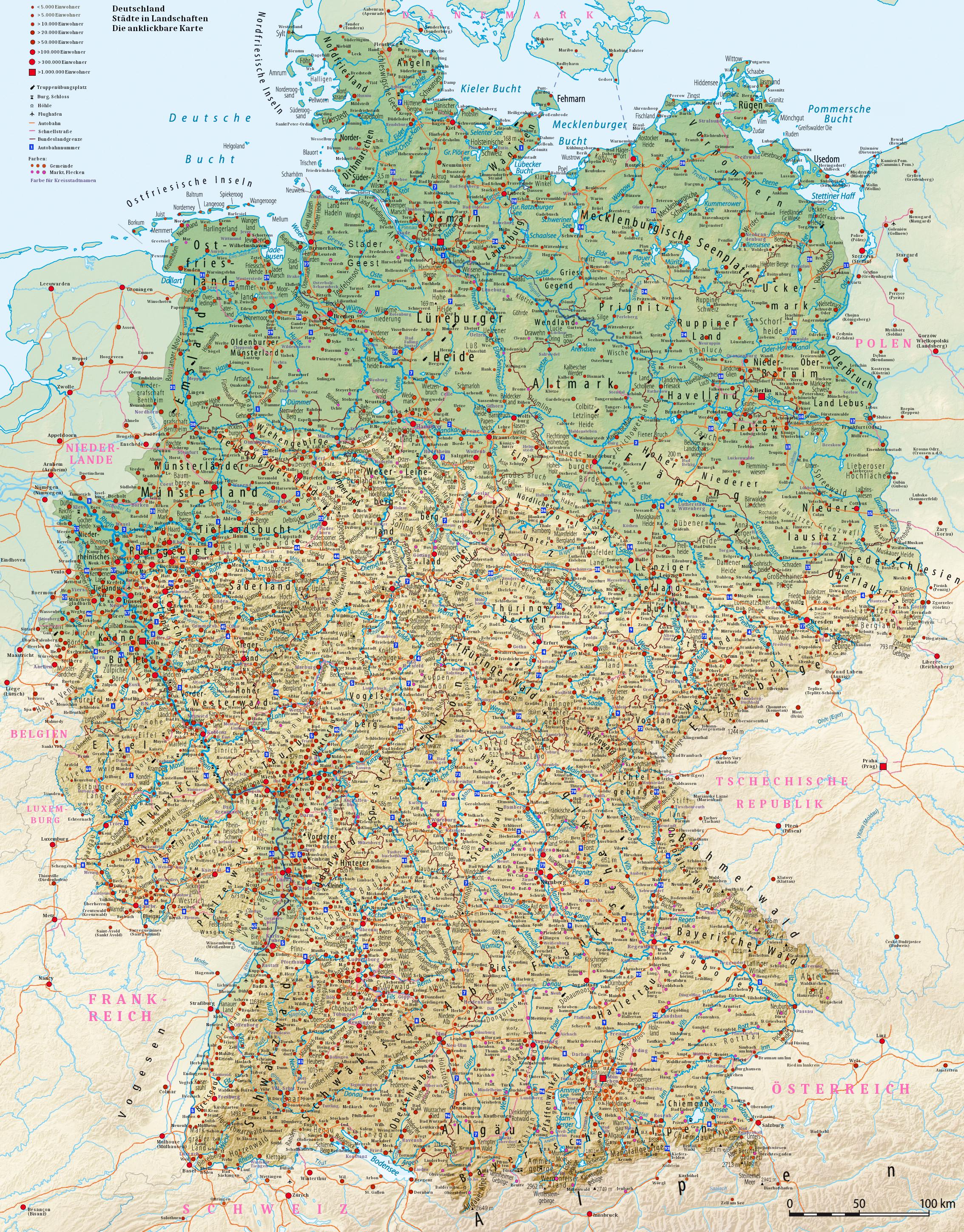
Detailed Population Density Map of the World


Marcus Rodriguez
Historical Geography Expert
Marcus Rodriguez specializes in historical cartography and geographic data analysis. With a background in both history and geography, he brings unique...
Geographic Analysis
What This Map Shows
This incredibly detailed map showcases global population density, illustrating where people live in relation to the total land area across various regions. The visualization employs a gradient of colors to signify population concentrations, allowing viewers to quickly ascertain densely populated urban centers versus more sparsely populated rural areas. Interestingly, this map does more than just indicate numbers; it tells the story of human settlement patterns and demographic dynamics throughout the world.
Deep Dive into Population Density
Population density is a crucial concept in geography that refers to the number of people living per unit of area, often expressed in people per square kilometer. Understanding population density is essential for various reasons: it influences infrastructure planning, resource allocation, and environmental management. In densely populated areas, such as cities, the challenges can be immense. For instance, urban regions often face issues like traffic congestion, pollution, and inadequate housing. Conversely, sparsely populated areas may struggle with economic development and access to services.
Globally, the highest population densities are found in regions such as East Asia, particularly China and Japan. For example, cities like Tokyo and Shanghai have staggering densities exceeding 6,000 people per square kilometer. On the other hand, vast areas of the world, such as Canada and Russia, exhibit very low population densities, often below 5 people per square kilometer. This stark contrast raises questions about urbanization trends, migration, and even cultural dynamics.
Interestingly, population density is not just about numbers; it reflects historical, economic, and social factors. For instance, the migration patterns from rural to urban areas are a response to job opportunities, educational facilities, and healthcare access. This trend is evident in developing nations where cities are expanding rapidly due to rural-urban migration.
Another fascinating aspect is the impact of geography on population density. Mountains, rivers, and climate play significant roles in where populations settle. For instance, the Himalayas create natural barriers that limit population growth in certain regions of South Asia, while fertile plains, such as the Indo-Gangetic Plain, draw large populations due to agricultural potential.
Regional Analysis
When analyzing this population density map, distinct regional patterns emerge. In densely populated areas like Southeast Asia, cities such as Jakarta and Manila are notable for their high densities, often leading to significant urban planning challenges. In contrast, countries like Australia and Canada, with their vast land areas and comparatively low populations, experience different dynamics. For example, the majority of Australia's population lives along the eastern seaboard, leaving the interior largely uninhabited.
In Europe, cities like Paris, London, and Berlin showcase a mix of historical growth patterns and modern urbanization, leading to high population densities. However, Eastern European nations often have lower densities due to historical migration trends and economic shifts.
Conversely, sub-Saharan Africa presents a unique case where urbanization is rapidly increasing, but infrastructure often struggles to keep pace. Cities like Lagos and Nairobi are expanding at unprecedented rates, presenting both opportunities and challenges for governance and sustainability.
Significance and Impact
Understanding population density is vital for addressing many contemporary issues. As urbanization continues to rise, cities must adapt to accommodate growing populations while managing the environmental impact. This map reflects not just where people are but the pressures they face in urban environments, from housing shortages to public health crises.
Furthermore, with climate change looming large, population density will play a crucial role in future planning. Areas prone to natural disasters may require strategic relocations, and cities at risk of flooding or extreme weather must prepare for the implications of overcrowding.
In conclusion, this detailed population density map serves as a valuable tool for geographers, policymakers, and anyone interested in understanding the complexities of human settlement. It highlights the interplay between environment, economy, and society, making it a critical resource for informed decision-making in our increasingly urbanized world.
Visualization Details
- Published
- August 20, 2025
- Views
- 76
Comments
Loading comments...