coastlines Maps
5 geographic visualizations tagged with "coastlines"
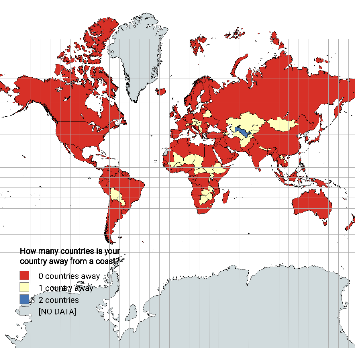
Distance from Coastline by Country Map
The "Distance from Coastline by Country Map" visually represents how far each country is from the nearest coastline. Thi...
👁 60📅 8/27/2025
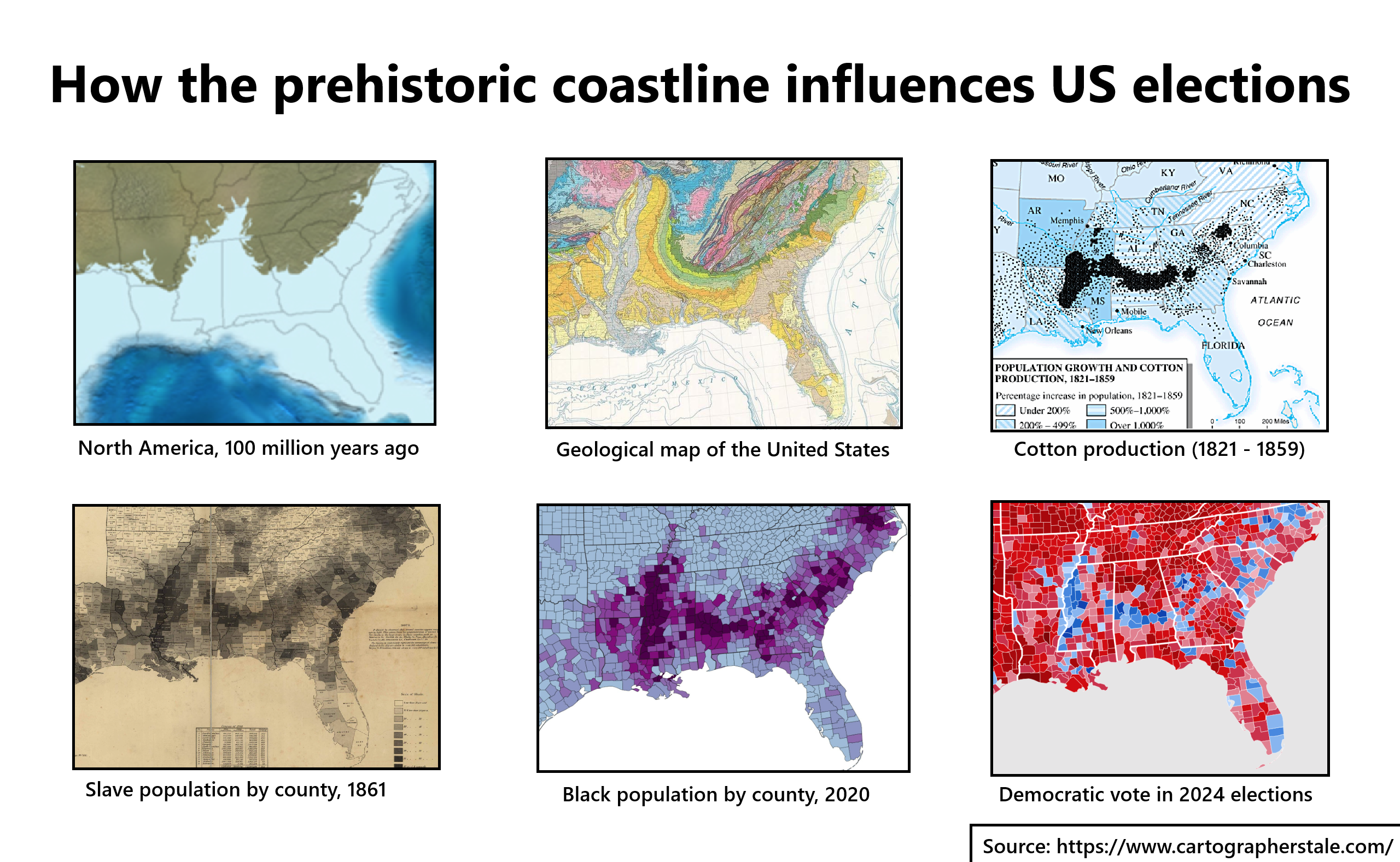
Prehistoric Coastline Influence on US Elections Map
The map titled "How the Prehistoric Coastline Influences US Elections" provides a fascinating visual representation of h...
👁 90📅 8/15/2025
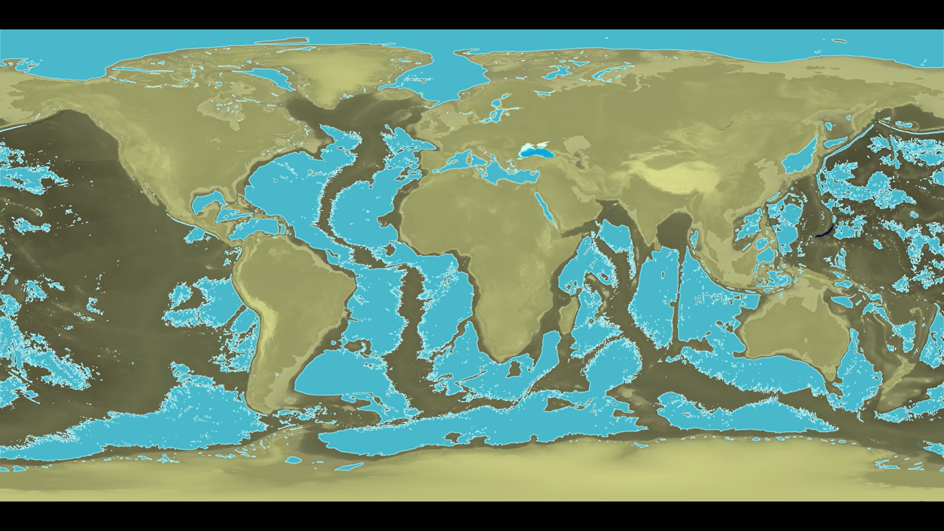
Coastline Changes Map After Draining Oceans
This intriguing visualization presents a hypothetical scenario: what would Earth's coastlines look like if we could drai...
👁 54📅 9/9/2025
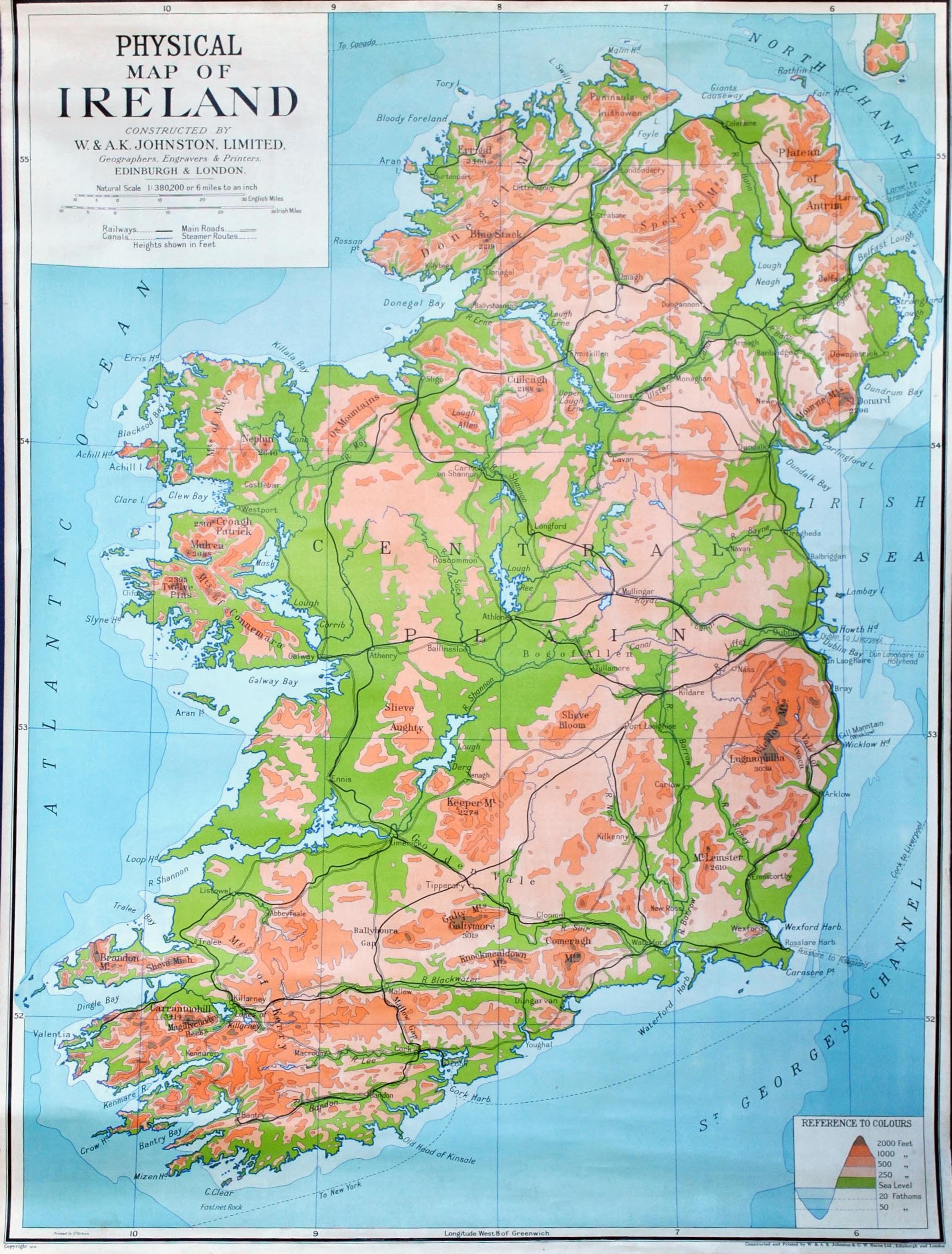
Physical Map of Ireland
The country’s rivers, such as the River Shannon—the longest river in Ireland—play a crucial role in both the ecology and...
👁 58📅 8/31/2025
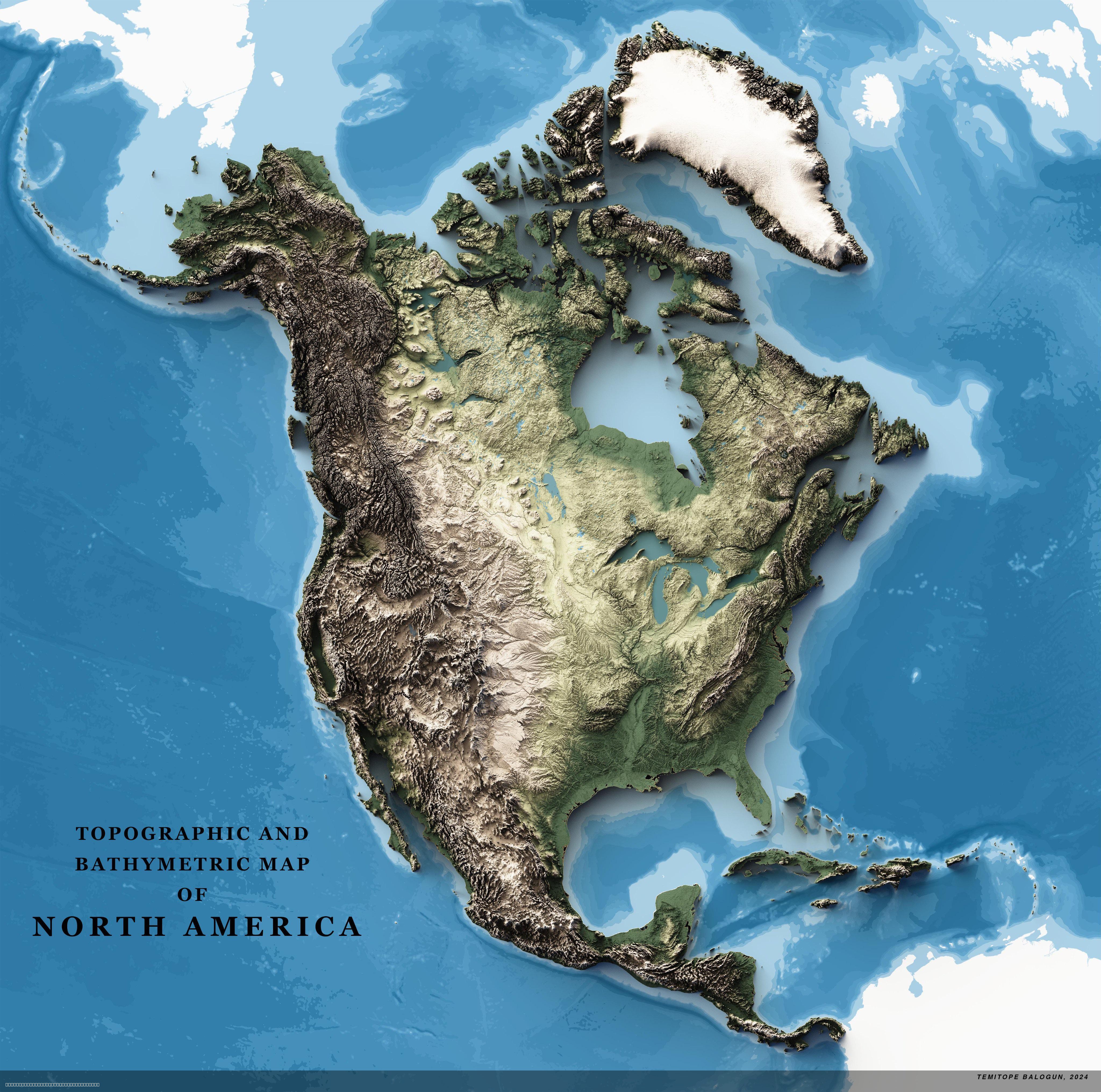
Topographic Map of North America
The 4K Topographic Map of North America provides a stunningly detailed view of the continent's diverse terrain, showcasi...
👁 112📅 8/3/2025