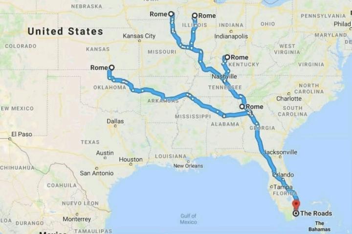
Road Networks Map of Ancient Rome


David Chen
Data Visualization Specialist
David Chen is an expert in transforming complex geographic datasets into compelling visual narratives. He combines his background in computer science ...
Geographic Analysis
What This Map Shows
The visualization titled "All Roads Lead to Rome" illustrates the extensive network of roads constructed during the Roman Empire, showcasing how these routes converged on the capital, Rome. This map not only highlights the physical pathways but also serves as a testament to Rome's connectivity with its far-reaching territories. The Roman road system was crucial for military, trade, and cultural exchanges, effectively linking the empire's vast expanse.
Deep Dive into the Roman Road System
Have you ever wondered how the Romans managed to control such a large empire? The answer lies significantly in their impressive road network. Spanning over 400,000 kilometers at its peak, this system included around 80,000 kilometers of paved roads. The Romans were master engineers; they utilized advanced techniques and materials, including stone, concrete, and gravel, to create durable and efficient roads that could withstand the test of time.
These roads were vital for the movement of troops, enabling swift military responses to uprisings and invasions. The famous saying, "All roads lead to Rome," underscores the centrality of the capital in this network. Major routes such as the Via Appia, Via Aurelia, and Via Flaminia connected Rome with other important cities and provinces, facilitating not just military logistics but also trade and cultural exchange.
Interestingly, the Romans built their roads in a straight line whenever possible, minimizing the distance between points. They managed to navigate challenging terrains through innovative engineering solutions like bridges and tunnels. Moreover, milestones were placed along the routes to indicate distances, which helped travelers and merchants alike. This attention to detail exemplifies the Roman commitment to infrastructure, which played a pivotal role in the empire's durability.
The road system also fostered economic growth. Trade flourished as goods, ideas, and cultures traveled efficiently across the empire. For instance, the movement of grain from Egypt, wine from Gaul, and textiles from the East became commonplace, enriching Roman society and contributing to its diverse culture.
Regional Analysis
Breaking down the Roman road network by region reveals some fascinating variations. In Italy, the roads were more densely packed, reflecting Rome's central role in governance and administration. The Via Appia, for example, connected Rome to the southern regions and was a lifeline for both military and trade activities.
In contrast, regions like Gaul and Hispania had fewer roads but were strategically placed to connect key cities like Lyon and Barcelona. Interestingly, the road systems in these provinces often served dual purposes, aiding both military movements and facilitating commerce between local populations and the central Roman authority.
In the eastern provinces, the roads were crucial for trade with Eastern civilizations. The Via Egnatia connected the Adriatic Sea to Byzantium, serving as a major trade route that brought in luxury goods from Asia. This highlights how regional differences in road development were influenced by local economic needs and cultural exchanges.
Significance and Impact
The Roman road system's significance extends beyond mere transportation; it laid the groundwork for modern infrastructure. Many contemporary roads in Europe still follow the paths established by the Romans, illustrating the lasting impact of their engineering prowess. Additionally, this network enabled the spread of Christianity and other cultural ideas, playing a critical role in shaping European history.
Today, understanding the Roman road system offers insights into how infrastructure can facilitate growth and connectivity. As we look at modern urban planning, the principles of accessibility and connectivity highlighted by the Roman approach continue to resonate. With the rise of digital connectivity, one might ask: how do we ensure our modern networks emulate the efficient designs of the past?
In conclusion, the map of Roman roads is not just an illustration of ancient pathways; it is a reminder of the power of infrastructure in shaping societies. As we continue to develop our own networks, there is much to learn from the Romans about the importance of connectivity in fostering economic and cultural exchange.
Visualization Details
- Published
- September 23, 2025
- Views
- 48
Comments
Loading comments...