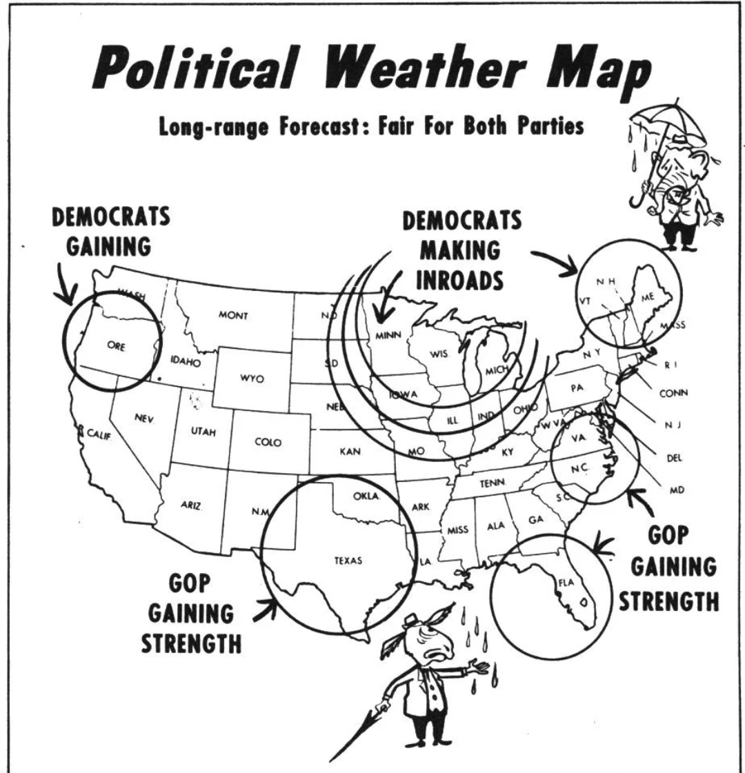
Political Weather Map of 1954


Marcus Rodriguez
Historical Geography Expert
Marcus Rodriguez specializes in historical cartography and geographic data analysis. With a background in both history and geography, he brings unique...
Geographic Analysis
What This Map Shows
The "Political Weather Map of 1954" offers a striking visualization of the geopolitical landscape during a pivotal year in the Cold War era. This map not only illustrates the political affiliations of various countries but also highlights the underlying tensions and alliances that shaped global relations at the time. Countries are designated with different colors based on their political alignment, primarily distinguishing between Western powers led by the United States and Eastern bloc nations under Soviet influence. This clear division mirrors the ideological battle that characterized the mid-20th century and provides insight into the realpolitik of the time.
Deep Dive into Political Alliances in 1954
In 1954, the world was sharply divided along ideological lines, primarily influenced by the aftermath of World War II and the rise of communism. This map serves as a historical snapshot, showcasing the political climate that was heavily influenced by the Cold War dynamics. The Western bloc, represented in vibrant shades, included countries like the United States, Canada, and most of Western Europe, who were unified under capitalist ideals and the North Atlantic Treaty Organization (NATO). This coalition was formed in direct response to the threat posed by the Soviet Union.
Conversely, the Eastern bloc, often depicted in darker hues, featured nations that were either part of the Soviet Union or were under its significant influence. This included countries like Poland, East Germany, and Hungary, which were characterized by communist regimes. Interestingly, the map also illustrates the non-aligned countries, such as India and Yugoslavia, which sought to maintain independence from both the Western and Eastern blocs. This was a significant movement during the Cold War, as these nations aimed to assert their sovereignty while navigating the pressures of global superpowers.
The political landscape of 1954 was not just about alliances; it was also shaped by various conflicts and uprisings that were taking place worldwide. For instance, in Vietnam, the First Indochina War was nearing its climax, with increasing tensions between French colonial forces and Viet Minh revolutionaries. This conflict would eventually draw the attention of both superpowers, setting the stage for future involvement.
Furthermore, the arms race was gaining momentum, with both the U.S. and the Soviet Union amassing nuclear arsenals. The fear of nuclear war was palpable, and the map reflects how the political divisions created a climate of paranoia and hostility. The repercussions of these alliances and conflicts would lead to decades of geopolitical tension, shaping international relations long after 1954.
Regional Analysis
Diving deeper into the map reveals fascinating regional disparities. In Western Europe, countries such as the United Kingdom and France were not only politically aligned with the U.S. but were also experiencing economic recovery through initiatives like the Marshall Plan. This helped to solidify their positions as strong allies against the Soviet threat.
In contrast, Eastern Europe was marked by oppression and rigid control, with the Soviet Union exerting influence over nations like Czechoslovakia and Romania. The political climate in these countries was characterized by limited freedoms and strict adherence to communist doctrines, showcasing a stark contrast to the liberties enjoyed in the West.
Interestingly, the map also highlights the unique situation in Asia. Countries like India were navigating their political identities amid the rising tensions of the Cold War. India’s non-alignment movement was a bold stance, promoting sovereignty and independence from external pressures. This was a significant divergence from the political alignments seen in Europe, illustrating how geographical location influenced political choices.
Significance and Impact
Understanding the political landscape of 1954 is crucial for grasping the complexities of current global relations. The divisions illustrated in the map set the stage for numerous conflicts, including the Vietnam War and the Korean War, which were direct manifestations of the Cold War ideology. Moreover, the alliances formed during this period have evolved into modern-day partnerships and rivalries, shaping international politics today.
Furthermore, as we look at contemporary issues such as the rise of authoritarian regimes and the resurgence of nationalism, the echoes of the 1954 political climate remain relevant. Have you noticed how certain countries still align themselves with the ideologies of the past? The political alliances and tensions from this era have lasting legacies that continue to influence global interactions and conflicts. Understanding this map is not just about the past; it’s about recognizing the patterns that still play out in today’s geopolitical arena.
Visualization Details
- Published
- August 21, 2025
- Views
- 64
Comments
Loading comments...