Busan District Map Overview

Alex Cartwright
Senior Cartographer & GIS Specialist
Alex Cartwright is a renowned cartographer and geographic information systems specialist with over 15 years of experience in spatial analysis and data...
Geographic Analysis
What This Map Shows
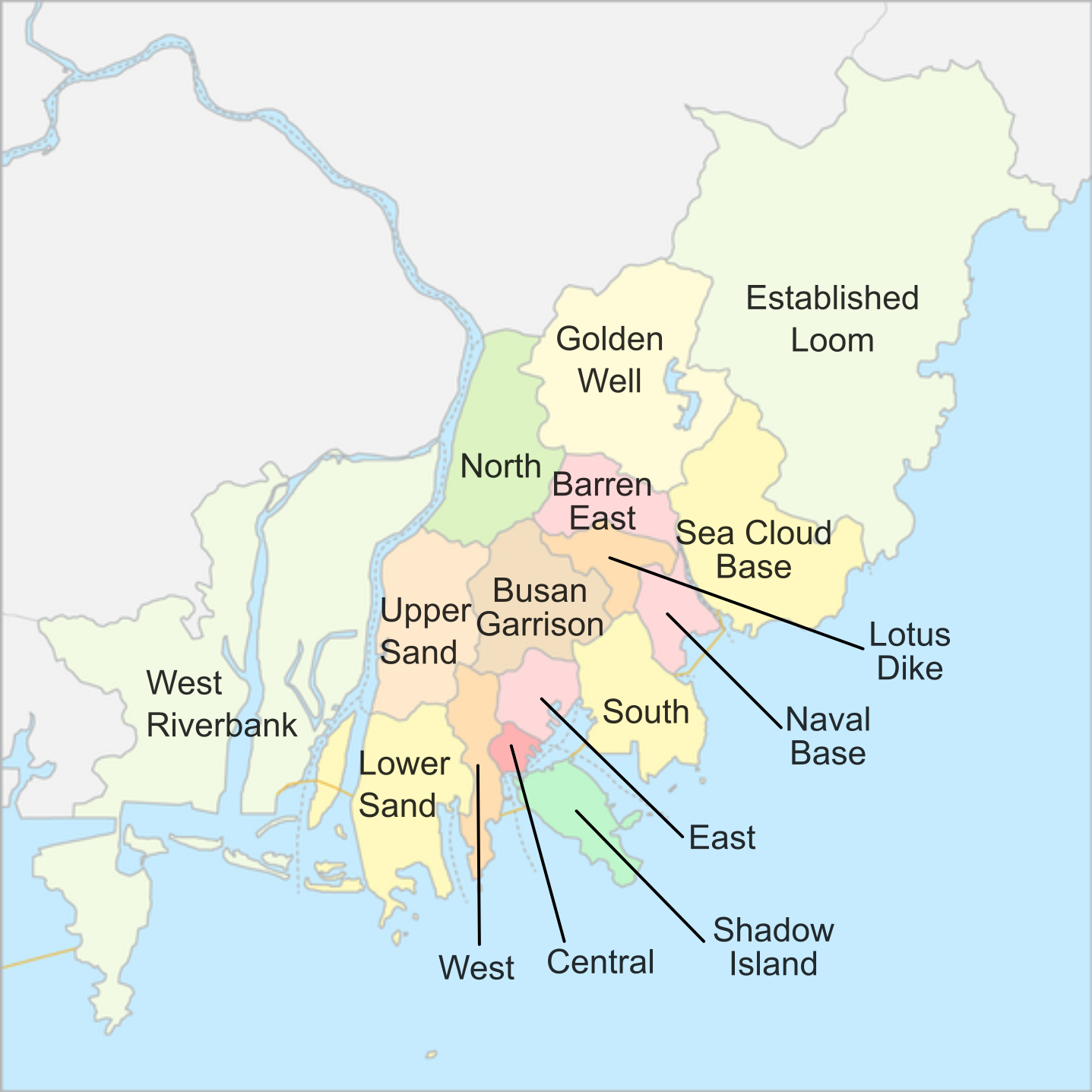
The "Busan's district map (Translated)" presents a clear and organized visualization of Busan's various districts, showcasing their boundaries and relationships to each other. This map is particularly insightful for those looking to understand the city's layout and how its districts interact in terms of geography, culture, and urban planning. Notably, Busan is South Korea's second-largest city and a critical port metropolis, making the understanding of its districts essential for anyone interested in the region's dynamics.
Deep Dive into Busan's Districts
Busan, located on the southeastern coast of the Korean Peninsula, is known for its bustling urban life and diverse neighborhoods. The city is divided into several districts, each with its own unique characteristics and demographics. Interestingly, the geographical layout of Busan can often be confusing, especially when considering how the city is structured.
To break it down, Busan is generally segmented into four main areas: the northern districts, the central districts, the eastern districts, and the southern districts. Each of these areas has its own identity shaped by geography, history, and culture.
1. **Northern Districts**: This region includes districts like Geumjeong and Buk-gu, which are characterized by their mountainous landscapes and residential areas. The population here tends to be younger, with many families and students residing in the area, partly due to the presence of educational institutions such as Pusan National University. Interestingly, Geumjeong is home to the famous Geumjeongsanseong Fortress, a historical site that attracts both tourists and locals alike.
2. **Central Districts**: The central area, notably Jung-gu, is often considered the heart of Busan. This district is bustling with commercial activity, including shopping districts and cultural landmarks. The population density is quite high here, with a mix of residents and visitors. One of the most iconic spots in this area is the Busan Tower, which offers panoramic views of the city and harbor.
3. **Eastern Districts**: The eastern districts, such as Haeundae and Suyeong, are famous for their beautiful beaches and vibrant nightlife. Haeundae Beach attracts millions of tourists annually, making it a hotspot for economic activity. The demographic here is diverse, featuring both locals and international visitors who flock to the area for its recreational offerings.
4. **Southern Districts**: This area encompasses districts like Sasang and Gangseo, known for their residential neighborhoods and industrial zones. The southern part of Busan is more suburban, with a significant population of working-class families. This region has seen a rise in urban development, with new housing projects and commercial ventures emerging.
What’s fascinating is how these districts interact with each other. For example, the proximity of the tourist-heavy eastern districts to the central areas fuels economic growth, while the northern districts maintain a quieter, more residential atmosphere. Understanding these dynamics is essential for grasping the broader context of urban development in Busan.
Regional Analysis
When we compare these districts, several notable contrasts emerge. For instance, the central district boasts the highest population density, while the northern areas have more expansive green spaces and lower density. The eastern districts, with their coastline, experience a significant influx of tourists, leading to booming local economies, particularly in hospitality and retail.
Moreover, the transportation infrastructure plays a key role in linking these districts. The Busan Metro, for instance, connects residents from the northern districts to the bustling center, facilitating easy access to jobs and services. The ongoing developments in public transportation aim to improve connectivity further, promoting economic growth across all districts.
Significance and Impact
Understanding the district map of Busan is crucial not only for urban planners and policymakers but also for residents and tourists. As Busan continues to evolve, recognizing the distinct characteristics and needs of each district can help in making informed decisions regarding urban development, public services, and tourism strategies.
With ongoing projects intended to enhance the quality of life for residents, such as green spaces and community centers, the significance of this map cannot be overstated. Furthermore, as Busan prepares for future events and increasing international exposure, the implications of district dynamics will shape the city’s response to economic opportunities and challenges.
In conclusion, the district map of Busan serves as a valuable tool for navigating the complexities of this vibrant city. By understanding the unique features and interactions among its districts, we can better appreciate Busan’s role as a major urban center in South Korea and its significance on the global stage.
Visualization Details
- Published
- August 10, 2025
- Views
- 174
Comments
Loading comments...