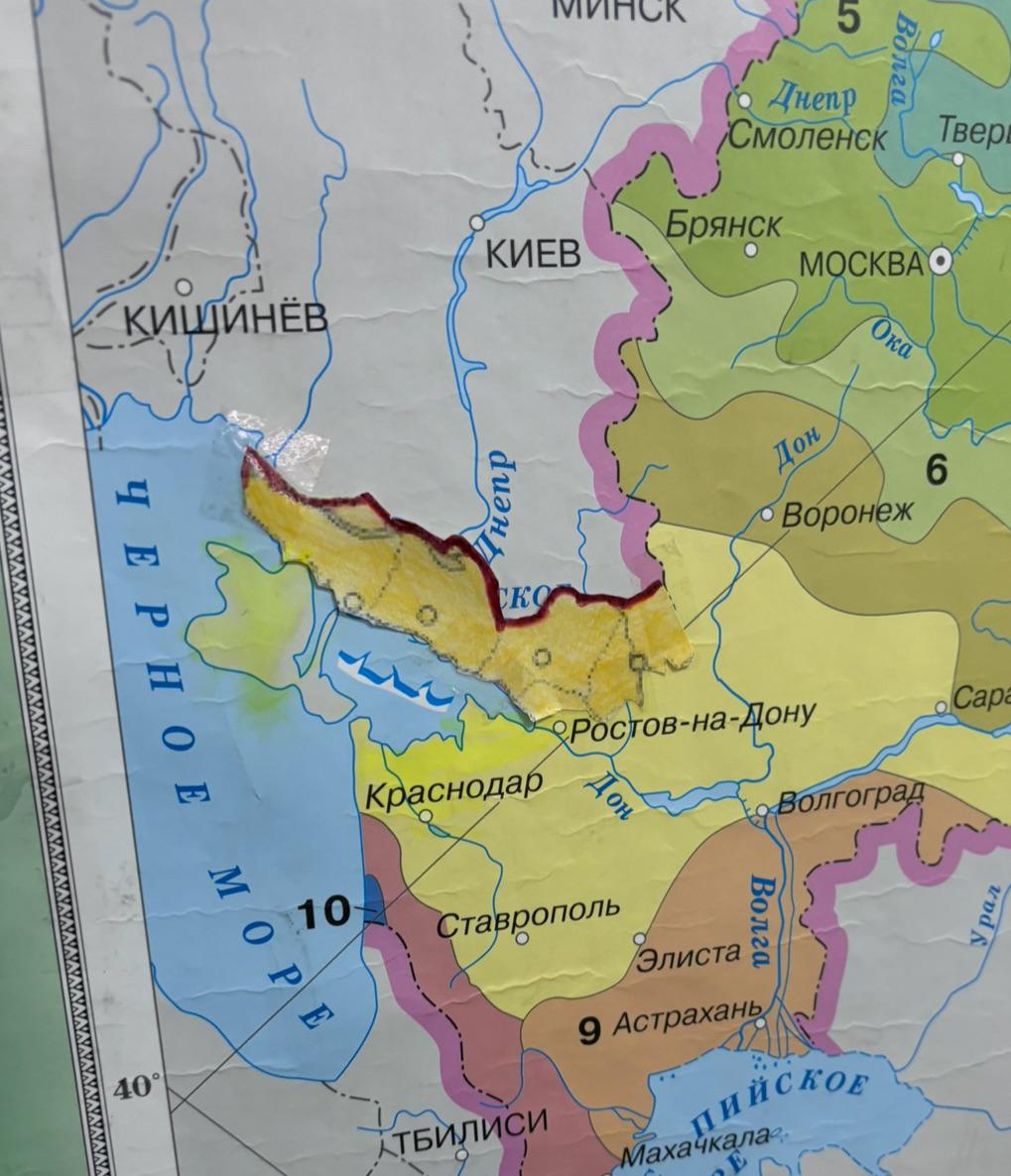
Map of Occupied Ukrainian Territories

Marcus Rodriguez
Historical Geography Expert
Marcus Rodriguez specializes in historical cartography and geographic data analysis. With a background in both history and geography, he brings unique...
Geographic Analysis
What This Map Shows
This map serves as a visual representation of the Ukrainian territories that have been illegally occupied. It clearly delineates the areas affected, providing a stark reminder of the ongoing geopolitical tensions in the region. By highlighting these territories, the map underscores the complexities and challenges present in Eastern Europe, particularly concerning the conflict between Russia and Ukraine.
Deep Dive into Occupied Ukrainian Territories
When discussing the occupied territories of Ukraine, it is crucial to understand the historical and political context surrounding these regions. The conflict began in 2014 when Russia annexed Crimea, a peninsula that had been part of Ukraine since the dissolution of the Soviet Union. This act of annexation was widely condemned by the international community, leading to sanctions and geopolitical tensions that continue to this day.
What’s fascinating is that the situation escalated further in Eastern Ukraine, where pro-Russian separatists declared independence in the Donetsk and Luhansk regions. These areas have been the epicenter of conflict, leading to significant loss of life and displacement of people. According to estimates, thousands of civilians have been affected, and millions have been forced to flee their homes.
Interestingly, the occupied territories have varied in terms of their demographics and economic conditions. For instance, Donetsk, once a bustling industrial hub, has seen its economy decline significantly due to the ongoing conflict. The map not only marks these areas but also serves as a reminder of the human cost associated with territorial disputes.
In addition to the economic impact, the cultural ramifications are profound. Many people in the occupied areas identify as ethnic Ukrainians, yet the conflict has created divisions, with some leaning towards Russian identity due to political propaganda and influence. The map reflects a complex tapestry of identities and loyalties that are often at odds with one another.
Regional Analysis
Analyzing the map further, we can see distinct differences between the various regions affected by occupation. In Crimea, for example, the Russian government has implemented policies aimed at integrating the peninsula into its federal system, altering the demographic landscape. Reports indicate a significant influx of Russian settlers, which has changed the cultural dynamics of the region.
In contrast, areas like Luhansk and Donetsk have remained battlegrounds with fluctuating control between Ukrainian forces and separatists. The fighting has devastated infrastructure, leading to a humanitarian crisis. Access to essential services like healthcare and education has been severely compromised, with many schools and hospitals damaged or destroyed.
Interestingly, the international response has varied by region. While Crimea's annexation has faced unified condemnation, the situation in Eastern Ukraine has led to a more fragmented response. Some countries have supported Ukraine’s sovereignty, while others have taken a more neutral stance, complicating the dynamics further.
Significance and Impact
Understanding the topic of occupied territories in Ukraine is vital for grasping the current geopolitical landscape. The implications of this occupation extend far beyond the borders of Ukraine itself, affecting international relations, security policies, and economic ties across Europe and beyond.
The ongoing conflict has led to a re-evaluation of military strategies and alliances, prompting NATO and the European Union to bolster their defenses against potential Russian aggression. Moreover, it has ignited discussions about energy security, as many European nations depend on Russian gas supplies while seeking to diversify their energy sources to reduce dependency.
Looking ahead, the future of these occupied territories remains uncertain. Current trends suggest that without a sustained diplomatic effort, the situation may continue to deteriorate, leading to further instability in the region. The map serves not just as a snapshot of territorial control but as a call to action, highlighting the need for continued international engagement and dialogue to address these complex issues.
In conclusion, the map of occupied Ukrainian territories is more than a geographical tool; it is a reminder of the human stories, struggles, and geopolitical intricacies that define this ongoing conflict. By understanding the historical context and current implications, we can better appreciate the significance of these regions and the importance of working towards a peaceful resolution.
Visualization Details
- Published
- October 24, 2025
- Views
- 16
Comments
Loading comments...