Maps Missing New Zealand, Arctic, Antarctica, Greenland

Marcus Rodriguez
Historical Geography Expert
Marcus Rodriguez specializes in historical cartography and geographic data analysis. With a background in both history and geography, he brings unique...
Geographic Analysis
What This Map Shows
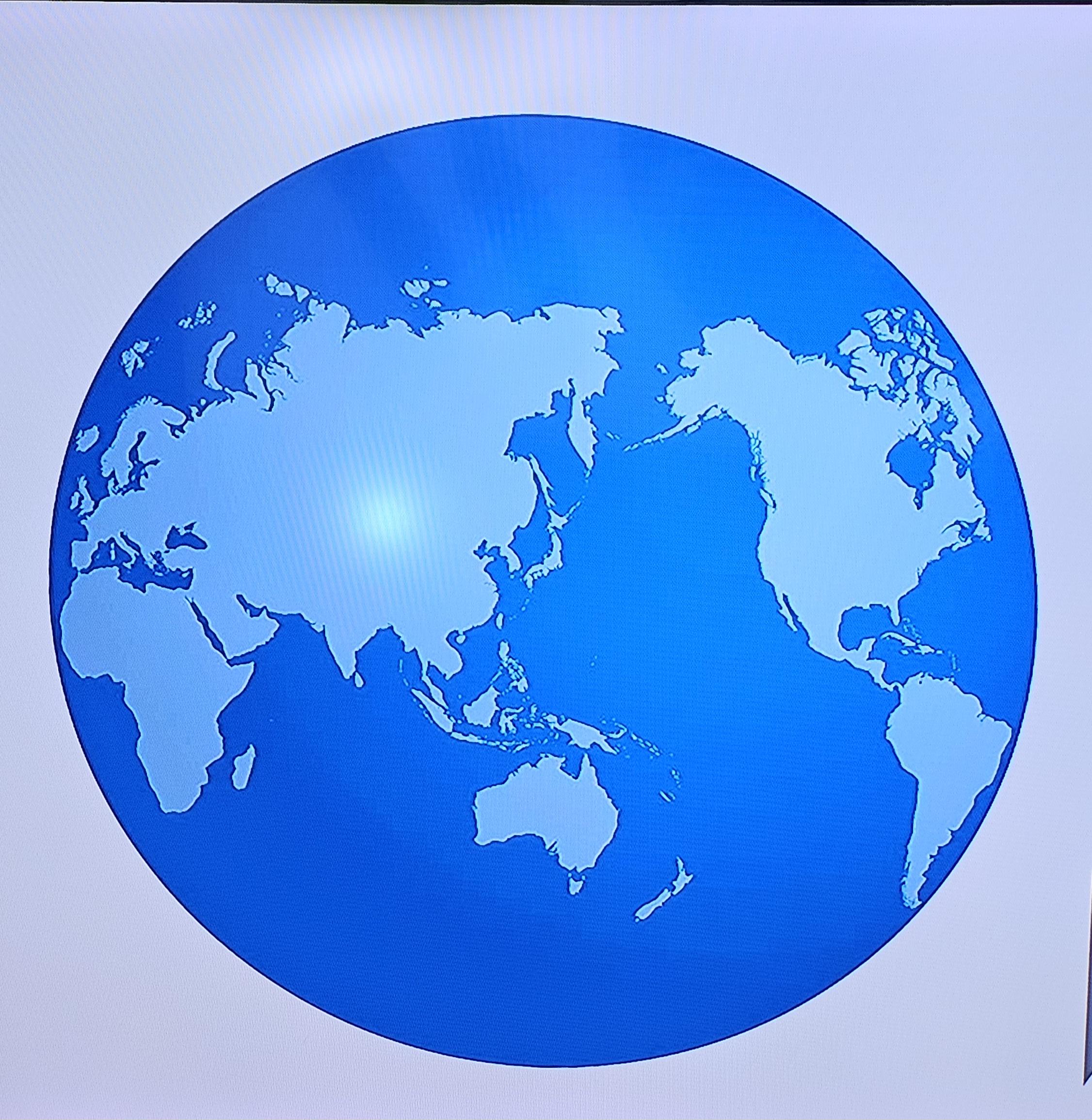
This visualization titled "New Zealand is there, but..." highlights an intriguing phenomenon in cartography: the absence of New Zealand, the Arctic, Antarctica, and Greenland in some world maps. While many maps focus on political boundaries, population density, or natural resources, they often neglect these critical regions. This discussion invites us to consider why certain areas are consistently omitted and what that signifies about our geographic understanding.
Deep Dive into Geographic Omissions
Have you ever wondered why New Zealand often seems to vanish from certain maps? This phenomenon is not just a quirky oversight; it reflects broader trends in geographic representation. Maps are tools that simplify complex realities, and in doing so, they can inadvertently skew our perception of global geography.
Interestingly, New Zealand, located in the southwestern Pacific Ocean, is often overlooked due to its relatively small size and remote location. While it boasts stunning landscapes and a rich cultural history, many mapmakers prioritize larger landmasses or more populous regions. This can lead to the impression that New Zealand is less significant on the global stage, despite its active role in international affairs and its unique ecosystems.
Meanwhile, the Arctic and Antarctica are frequently omitted from maps as well. These regions, while vast and crucial for climate regulation, are often depicted in ways that minimize their geographic footprint. The Arctic, home to diverse indigenous cultures and critical wildlife habitats, is a vibrant ecosystem under threat from climate change. Antarctica, on the other hand, serves as a key indicator of global climate trends, with its melting ice sheets raising sea levels worldwide.
Greenland, the world's largest island, also faces the risk of being underrepresented. Its immense ice cover plays a pivotal role in regulating ocean currents and temperatures, yet its size can be misleading on certain projection styles, such as the Mercator projection, which distorts landmasses near the poles. This distortion can lead to misconceptions about the relative importance of these regions, overshadowing their vital contributions to global ecology and climate science.
Regional Analysis
When we examine the implications of these omissions, it becomes clear that each region has its own unique characteristics and challenges. For instance, New Zealand is known for its biodiversity and geological activity, which makes it a hotspot for scientific research. In contrast, the Arctic is experiencing rapid environmental changes, with temperatures rising at nearly twice the global average, resulting in profound impacts on its ecosystems and indigenous populations.
Antarctica's isolation and harsh climate make it a unique case study for climate scientists. The continent is largely uninhabited, but its significance cannot be overstated—it's a crucial area for studying climate patterns and global warming. Greenland, with its vast ice sheets, is also at the forefront of climate research, providing insights into past and future climate changes.
Interestingly, while New Zealand is often left off the map in a political context, it has significant ties to both the Arctic and Antarctic regions through research collaborations and environmental initiatives. This interconnectedness highlights the importance of inclusivity in cartographic representations and acknowledges the role these regions play in global progress.
Significance and Impact
Understanding why regions like New Zealand, the Arctic, Antarctica, and Greenland are frequently omitted from maps is essential for grasping their global importance. For instance, the Arctic's climate crisis has far-reaching implications, affecting weather patterns and ecosystems as far away as Europe and North America. Similarly, changes in Antarctica's ice cover are not just local issues; they impact global sea levels, threatening coastal cities worldwide.
Moreover, the absence of these regions from maps can lead to a lack of awareness about their contributions to global biodiversity, climate regulation, and cultural heritage. As we continue to face pressing environmental challenges, a more accurate representation of the world is crucial for fostering understanding and action.
In conclusion, the map "New Zealand is there, but..." serves as a reminder of the importance of inclusivity in geographic representations. As we become more aware of our planet's interconnectedness, we must advocate for a more comprehensive understanding of all regions, acknowledging their unique contributions and challenges. As map users and geography enthusiasts, we can play a role in ensuring that every corner of the world is represented and valued.
Visualization Details
- Published
- September 12, 2025
- Views
- 56
Comments
Loading comments...