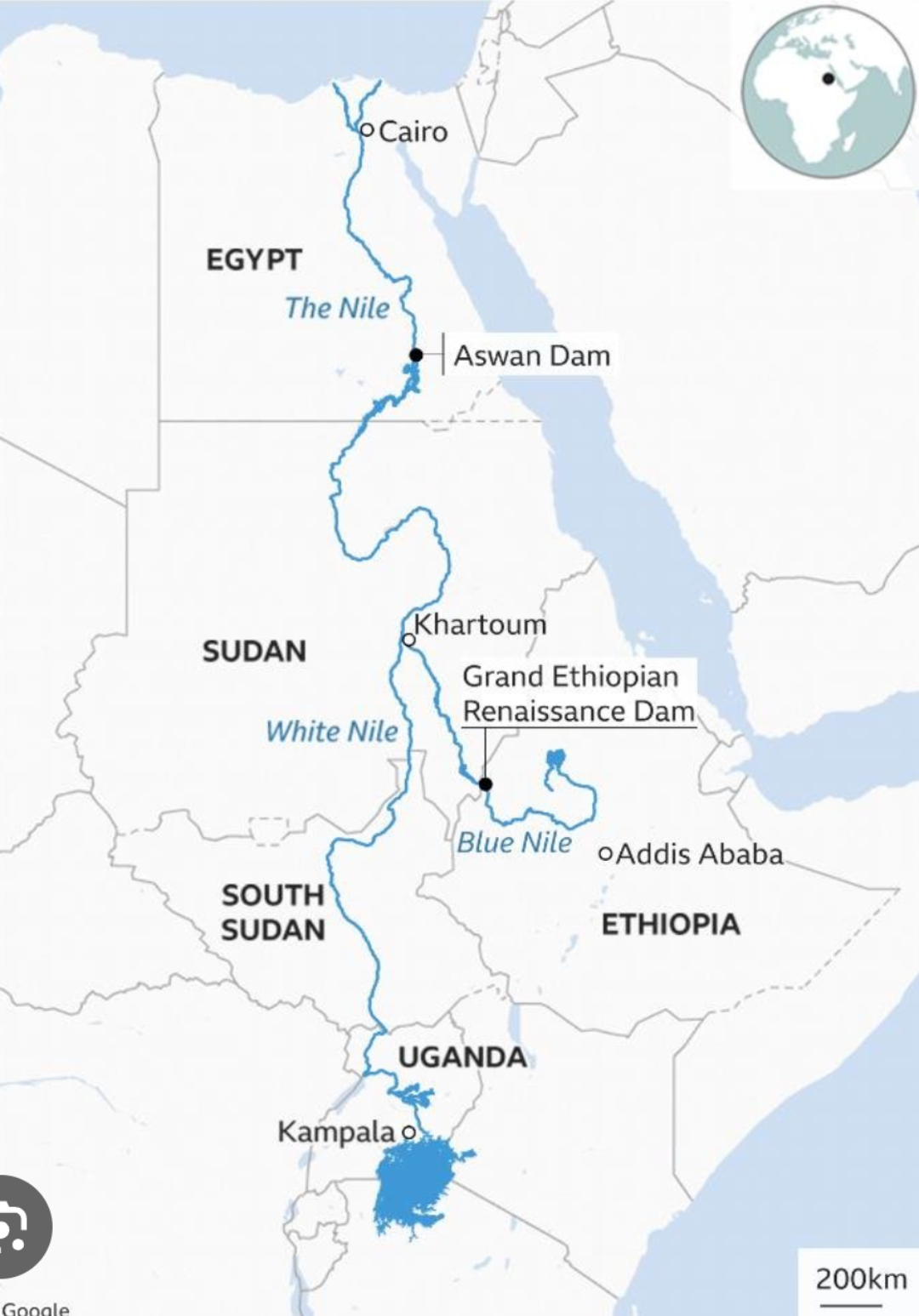
Map of the Blue Nile and Ancient Civilizations

Marcus Rodriguez
Historical Geography Expert
Marcus Rodriguez specializes in historical cartography and geographic data analysis. With a background in both history and geography, he brings unique...
Geographic Analysis
What This Map Shows
This map illustrates the flow of the Blue Nile River and its historical connection to some of Africa's oldest civilizations. Originating from Lake Tana in Ethiopia, the Blue Nile is a critical tributary of the Nile River, which has sustained human life and culture for millennia. The visualization highlights not only the river's course but also the geographical locations of ancient civilizations that flourished along its banks. As we delve into the subject, it's essential to understand how this river shaped societies and contributed to the rich tapestry of African history.
Deep Dive into the Blue Nile and Ancient Civilizations
The Blue Nile is approximately 1,450 kilometers long and plays a pivotal role in the hydrological system of northeastern Africa. It carries about 80% of the world's freshwater during the rainy season, which is essential for agriculture and sustenance in the region. The river's annual flooding, which historically occurred between June and September, provided nutrient-rich silt that transformed the surrounding lands into fertile farmland. This phenomenon was crucial for the development of agriculture, allowing ancient civilizations to thrive.
The civilizations that emerged along the Blue Nile, particularly in what is now Sudan and Egypt, date back to 3500 BCE. One of the most notable is the Kingdom of Kush, which was located to the south of Egypt. The Kushites were known for their wealth, military power, and impressive pyramids, some of which can still be visited today at sites like Meroë. Interestingly, the Kingdom of Kush conquered Egypt during the 25th Dynasty, demonstrating the river's role as a conduit of power and cultural exchange.
The proximity to the Blue Nile enabled these civilizations to engage in trade with one another and with distant lands. Goods such as gold, ivory, and exotic animal skins flowed through trade routes that followed the river, establishing economic networks that connected various cultures. Additionally, the river served as a means of transportation, allowing people to move goods and ideas, further enriching the cultural landscape.
Religious practices were also influenced by the Blue Nile. The ancient Egyptians believed that the Nile was a divine gift from the gods, essential for life. Temples and monuments were often constructed near the river, reinforcing its significance in ritual and daily life. The Blue Nile not only nourished crops but also inspired art, mythology, and literature, forming a foundation for the cultural identities of the communities that lived along its banks.
Regional Analysis
The map delineates several key regions along the Blue Nile, each with unique contributions to the historical narrative. In Ethiopia, the source of the river, the ancient civilization of Aksum emerged as a powerful trading empire around the 1st century CE. Aksum was known for its impressive obelisks and was a major center for early Christianity in Africa. Interestingly, the rise of Aksum coincided with the decline of Kush, illustrating the dynamic shifts in power and influence that the Blue Nile facilitated.
As the river flows into Sudan, it passes through the territories once ruled by the Kingdom of Kush. Archaeological findings in this region reveal a rich history of city-states, including Napata and Meroë, which were centers of culture and power. The differences in governance and societal structure between these regions reflect the varying influences of geography and resource availability along the river.
Finally, as the Blue Nile approaches Egypt, it merges with the White Nile, creating the great Nile River that has defined Egyptian civilization. The ancient Egyptians utilized the river for irrigation, transportation, and as a vital source of water, which was essential for their agricultural practices. The cities of Thebes and Memphis, situated along the Nile, became centers of politics, trade, and religion, showcasing the river's lasting impact on the development of one of the world's most iconic civilizations.
Significance and Impact
Understanding the role of the Blue Nile in shaping ancient civilizations is crucial for appreciating the intricate history of Africa. The river not only provided the resources necessary for survival but also enabled the exchange of ideas, culture, and trade that enriched the societies along its banks. Today, the Blue Nile continues to be significant, as modern nations navigate complexities surrounding water rights and environmental sustainability.
Current trends indicate that as populations grow and climate change impacts water availability, the historical lessons learned from the Blue Nile's role in civilization are more relevant than ever. The river remains a lifeline for millions, and its history serves as a reminder of the delicate balance between human needs and environmental stewardship. Have you noticed how rivers have historically shaped the development of civilizations? The Blue Nile is a prime example of how this natural resource has influenced the course of human history in profound ways.
Visualization Details
- Published
- September 4, 2025
- Views
- 90
Comments
Loading comments...