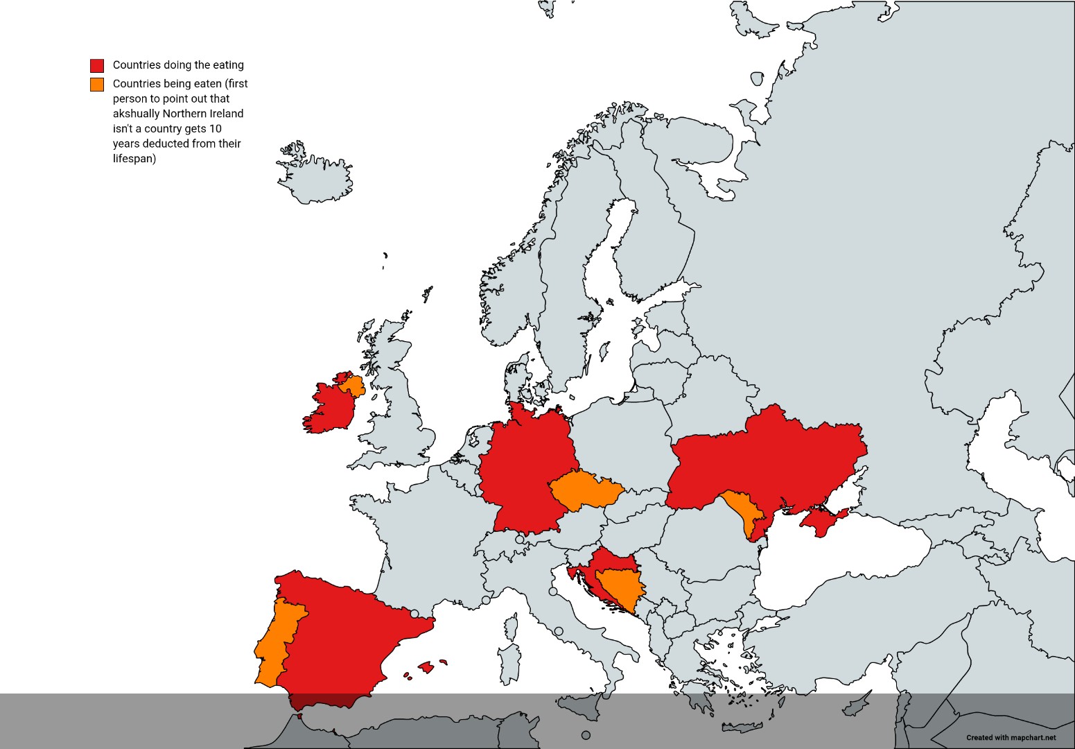
Countries That Look Like They're Eating Other Countries Map

Marcus Rodriguez
Historical Geography Expert
Marcus Rodriguez specializes in historical cartography and geographic data analysis. With a background in both history and geography, he brings unique...
Geographic Analysis
What This Map Shows
This intriguing map visualizes countries that appear to overlap or encroach upon neighboring nations, creating a whimsical illusion of one country 'eating' another. For example, countries like Russia and India exhibit borders that seem to consume adjacent territories, visually suggesting a kind of geopolitical appetite. This playful representation isn’t just a quirky take on cartography; it invites us to think critically about borders, territorial disputes, and the historical context behind these shapes.
Deep Dive into Territorial Morphology
Territorial morphology is the study of the shapes, sizes, and spatial relationships of countries. The configuration of a nation can significantly influence its political, social, and economic dynamics. In our case, certain countries are shaped in a way that they appear to dominate or absorb their neighbors. This phenomenon can be attributed to various factors, including historical conflicts, colonial legacies, and geographical constraints.
Consider the case of India, whose borders with Pakistan and Bangladesh create a visual representation that resembles a mouth. This configuration is a byproduct of the complex colonial history of the Indian subcontinent, where arbitrary borders drawn by colonial powers often ignored the socio-cultural realities on the ground. Interestingly, these borders can lead to both tension and cooperation, as nations navigate their relationships with one another.
Another compelling example is Russia, which has a sprawling territory that engulfs many smaller nations, particularly in the Caucasus region. The shape of Russia creates a perception of dominance, and this has historical roots dating back to the expansion of the Russian Empire. These encroachments have led to various conflicts, including current tensions in Ukraine and Georgia. However, Russia's vast expanse is not just about territorial gain; it also presents logistical challenges and diverse climate zones that affect governance and infrastructure.
Countries with irregular shapes, like Chile, which stretches along the coast of South America, also create unique geopolitical scenarios. The elongated form can lead to issues such as accessibility and resource distribution. Have you ever wondered why countries like Chile have such distinctive borders? The answer lies in natural barriers like mountains and oceans that have historically influenced settlement and development.
Regional Analysis
When we break down the map regionally, the patterns of territorial morphology become even more pronounced. In Europe, for instance, the compact shapes of nations like France and Germany contrast sharply with the jagged borders of countries like Belgium and the Netherlands. These irregular borders often reflect historical disputes and territorial claims, leading to a complex web of alliances and conflicts.
In Africa, the map reveals a different story. Many countries, such as Uganda and Kenya, have borders that appear to slice through ethnic groups and territories, a legacy of colonial rule that often ignored indigenous populations. This has led to significant social and political challenges, as these artificially drawn lines do not reflect the realities of cultural and ethnic identities.
In Asia, the borders of countries like Afghanistan and Pakistan are heavily influenced by mountainous terrains, which create both physical barriers and strategic advantages. The Durand Line, for example, serves as a contentious border that has been a focal point for conflict between the two nations, illustrating how geography can dictate political relationships.
Significance and Impact
Understanding the territorial morphology of countries is crucial for several reasons. Firstly, it highlights the complexities of international relations, where borders often do not align with ethnic or cultural divisions. This misalignment can lead to conflict, as seen in various regions around the world. Moreover, the shape of a country's borders can impact its economic opportunities, as accessibility to resources and trade routes can be heavily influenced by geography.
Current trends show that as globalization continues to reshape economies and cultures, the significance of these borders may evolve. Countries are increasingly finding ways to collaborate across borders, despite their territorial shape. However, tensions remain in areas where national identities are closely tied to territoriality. The future will likely present both challenges and opportunities as nations navigate their relationships in an interconnected world.
In conclusion, the playful idea of countries "eating" one another serves as a metaphor for the complex and often contentious nature of international boundaries. It reminds us that geography is not just about maps; it’s about the stories, histories, and relationships that these lines represent. Understanding this topic allows us to appreciate the intricate interplay of culture, politics, and geography that shapes our world today.
Visualization Details
- Published
- August 3, 2025
- Views
- 102
Comments
Loading comments...