coastal geography Maps
6 geographic visualizations tagged with "coastal geography"
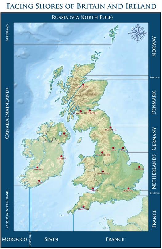
Map of Countries Across From Beaches in Britain and Ireland
This map visually represents which countries you would face if you were standing on a beach in Britain or Ireland, gazin...
👁 98📅 9/15/2025
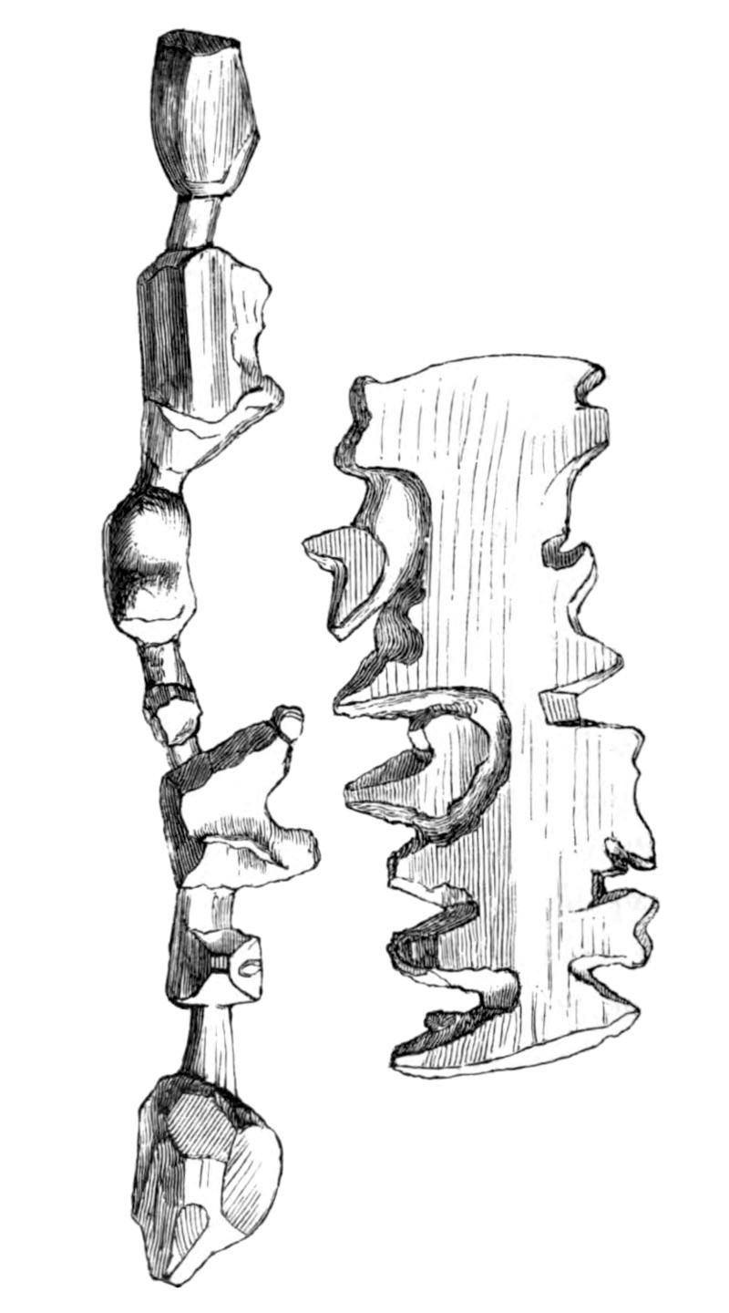
Ammassalik Wooden Maps of Greenland
The Ammassalik wooden maps are intricate, tactile representations of the Greenlandic coastlines, primarily depicting the...
👁 330📅 8/24/2025
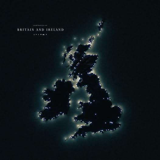
Lighthouse Map of Great Britain and Ireland
The \...
👁 66📅 9/20/2025

Lighthouses of the Atlantic Map
This detailed map by Mike and Ryan Huff showcases over 600 lighthouses that line the Atlantic Ocean in North America, pr...
👁 56📅 10/6/2025
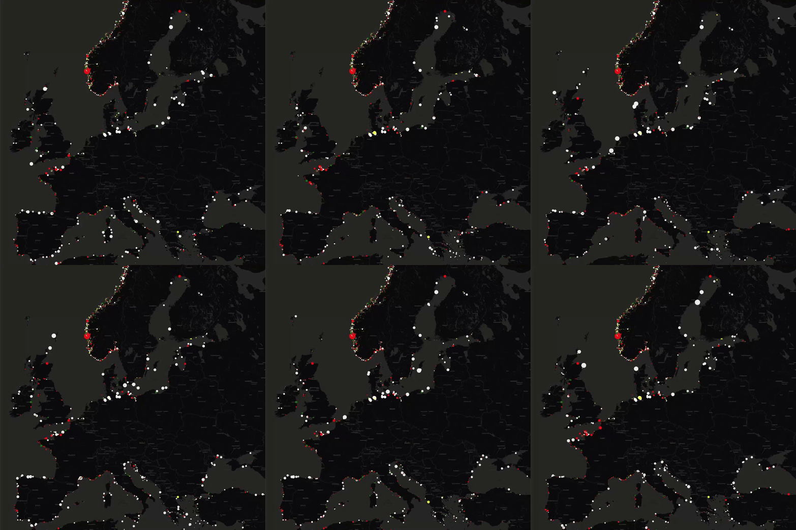
Lighthouses of Europe Map
This map presents the locations of lighthouses across Europe, illustrating their distribution along coastlines, rivers, ...
👁 118📅 8/7/2025
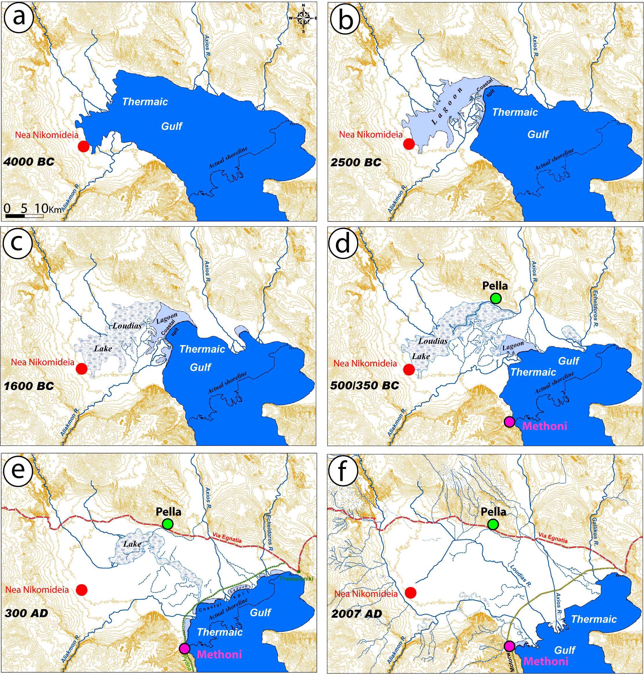
Evolution of Thermaic Gulf Map
The "Evolution of Thermaic Gulf Map" provides a detailed visual representation of the geographical and ecological change...
👁 116📅 8/15/2025