Territorial Waters Map and Maritime Boundaries

David Chen
Data Visualization Specialist
David Chen is an expert in transforming complex geographic datasets into compelling visual narratives. He combines his background in computer science ...
Geographic Analysis
What This Map Shows
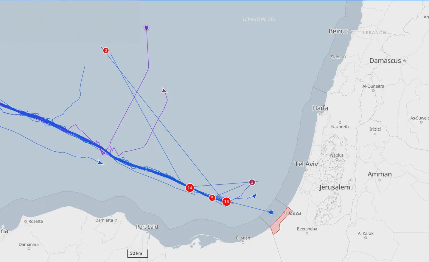
The map titled "The one who made it to territorial waters" provides a detailed visualization of territorial waters as defined by international law. Specifically, it highlights the boundaries of sovereign states extending 12 nautical miles from their coastlines, which marks the limit of a nation's jurisdiction over the sea. Beyond this limit lies the Exclusive Economic Zone (EEZ), which extends up to 200 nautical miles, allowing a state to exploit marine resources. This map serves as a crucial reference point for understanding the maritime boundaries that govern territorial waters worldwide.
Deep Dive into Territorial Waters
Territorial waters are a critical component of international law and maritime navigation. Governed by the United Nations Convention on the Law of the Sea (UNCLOS), these waters are vital for national sovereignty, security, and economic interests. The significance of these waters lies in their role as a buffer zone between a nation’s land territory and the open seas. Have you ever wondered why countries are so protective of their territorial waters? The answer is simple: these waters are rich in resources.
For instance, fishing is a primary economic activity conducted within territorial waters. Nations often enforce stringent regulations to protect fish stocks and ensure sustainable practices. Interestingly, some countries even establish artificial reefs to enhance marine biodiversity within these zones. Moreover, the territorial waters are essential for national security; they serve as a first line of defense against maritime threats.
Additionally, the sovereignty over these waters allows nations to regulate shipping lanes, control maritime pollution, and conduct various activities such as oil drilling and mineral extraction. The map illustrates how densely packed some regions are with territorial claims, particularly in areas like the South China Sea, where overlapping claims have led to geopolitical tensions.
In terms of statistics, approximately 40% of the world’s population lives within 100 kilometers of the coast, highlighting the importance of these waters for human activity. The economic impact is also profound; according to recent estimates, coastal countries generate about $2.5 trillion from their maritime sectors annually, heavily reliant on the resources found in territorial waters.
Regional Analysis
Looking at the map, we can observe vast disparities in territorial waters among different regions. For instance, in the Caribbean, where numerous small island nations exist, the territorial waters can be incredibly valuable, providing fishing grounds and tourism opportunities. Countries like the Bahamas and Jamaica heavily depend on these areas for their economies.
In contrast, in the Arctic region, territorial waters are becoming increasingly contested due to climate change. The melting ice caps are opening up new shipping routes and access to untapped resources, prompting nations like Russia, Canada, and the United States to assert their territorial claims vigorously. The map illustrates these complexities, revealing how the Arctic's shifting boundaries are becoming a focal point for international negotiations.
Moreover, in the Mediterranean Sea, territorial waters are often the subject of dispute due to historical tensions and geopolitical considerations. Countries like Greece and Turkey have had long-standing disagreements over their maritime boundaries, which the map clearly delineates. The intricate web of territorial claims can lead to misunderstandings and conflicts, underscoring the need for clear communication and agreements between nations.
Significance and Impact
Understanding territorial waters is crucial in today’s context of globalization and environmental challenges. As nations vie for control over maritime resources, the implications become more significant. The rise of climate change is altering sea levels and marine ecosystems, which in turn affects territorial claims. Countries are not only fighting for current resources but also for future access to new maritime territories as the planet warms.
Moreover, the significance of territorial waters extends beyond national interests to global environmental health. Issues like overfishing, marine pollution, and habitat destruction directly impact biodiversity and the health of oceans. International cooperation is essential for managing these waters sustainably, ensuring that they remain a source of life rather than conflict.
In conclusion, the map of territorial waters is more than just a representation of nautical boundaries; it is a snapshot of the complex interplay between geography, law, economy, and international relations. As we look to the future, understanding these dynamics will be critical for sustainable development and peaceful coexistence among nations.
Visualization Details
- Published
- October 2, 2025
- Views
- 54
Comments
Loading comments...