Agnes Denes Hot Dog Map Projection Analysis

Marcus Rodriguez
Historical Geography Expert
Marcus Rodriguez specializes in historical cartography and geographic data analysis. With a background in both history and geography, he brings unique...
Geographic Analysis
What This Map Shows
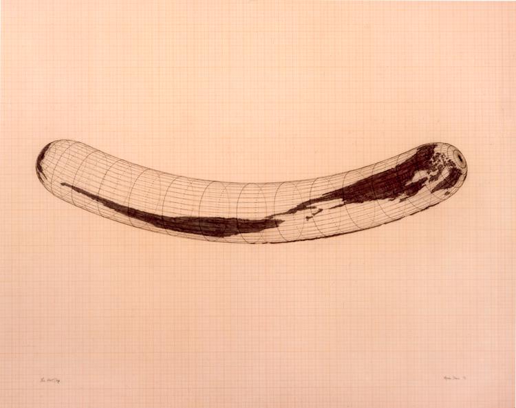
The visualization titled "Isometric Systems in Isotropic Space-Map Projections: The Hot Dog" by Agnes Denes presents a unique perspective on map projections through the lens of an everyday object: a hot dog. This map doesn’t just depict geographical features; it challenges the conventions of how we perceive space and scale in cartography. Denes' work stands out because it juxtaposes a common food item with complex mathematical and spatial concepts, inviting viewers to reconsider the relationships between objects, space, and representation.
Deep Dive into Map Projections
Map projections are essential tools in geography, allowing us to represent the curved surface of the Earth on a flat plane. Each projection has its strengths and weaknesses, often distorting certain attributes while preserving others. The study of map projections is not just about technical accuracy; it also reflects cultural and political perspectives.
Denes’ Hot Dog map utilizes an isometric projection, which maintains equal measurement along multiple axes. This type of projection is particularly useful for visualizing three-dimensional space in a two-dimensional format. What’s fascinating is how such projections can alter our understanding of distance, area, and relationships between geographical features. For instance, in traditional projections like the Mercator, areas near the poles appear much larger than they actually are, skewing perceptions of size and importance.
Moreover, the concept of isotropic space—where all directions are treated equally—pushes boundaries in how we think about geography. In the context of Denes' work, it prompts us to question our assumptions about spatial relationships. Is a hot dog just a food item, or can it serve as a metaphor for the interconnectedness of all things in our environment? Denes brilliantly marries art with geography, spurring discussions about the nature of representation and the impact of cultural symbols on spatial understanding.
Regional Analysis
While Denes’ map isn't a conventional geographical tool, its implications can be felt across various regions. For instance, consider how urban areas might be represented differently depending on the projection used. In high-density cities like New York or Tokyo, traditional projections might exaggerate the size of the urban sprawl, while an isometric projection could offer a more equitable representation of space.
In contrast, rural areas may appear more accurately in isometric projections, revealing the nuances of agricultural land use or natural features like rivers and mountains. This aspect becomes particularly important when considering land management and environmental planning. Ever wondered why certain regions prioritize specific agricultural products? The answer often lies in the geography and spatial relationships that traditional maps may overlook.
Interestingly, Denes’ approach also encourages a broader discourse about food systems and their geographical implications. The hot dog, as a symbol, can represent mass production, urbanization, and the globalization of food supply chains. Regions that produce the ingredients for hot dogs, such as corn in the Midwest or livestock in Texas, have their own spatial dynamics that can be explored through varied map projections.
Significance and Impact
The significance of analyzing Denes' Hot Dog map projection extends beyond mere aesthetics; it calls attention to how we interpret and represent space. Understanding map projections is vital in a world where geographical literacy influences policy-making, urban planning, and environmental conservation. With the ongoing challenges of climate change and urbanization, the ability to accurately represent and interpret spatial data is more crucial than ever.
As we look to the future, the integration of artistic and scientific approaches in geography may lead to innovative solutions to pressing global issues. Projects like Denes’ serve as a reminder that geography is not just about boundaries and territories; it's about the narratives and symbols we create around them. How can we leverage these insights to foster a more sustainable and equitable world? It’s a question worth pondering as we navigate the complexities of our interconnected lives.
Visualization Details
- Published
- September 30, 2025
- Views
- 44
Comments
Loading comments...