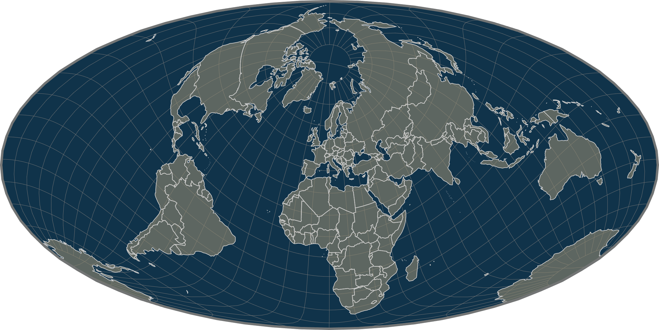
Mollweide Projection Equal-Area Map Centered on Europe

David Chen
Data Visualization Specialist
David Chen is an expert in transforming complex geographic datasets into compelling visual narratives. He combines his background in computer science ...
Geographic Analysis
What This Map Shows
The "Mollweide Projection Equal-Area Map Centered on Europe" displays a distinctive view of Europe that emphasizes the relative sizes of countries while minimizing distortions associated with traditional map projections. Unlike the commonly used Mercator projection, which can exaggerate the size of landmasses near the poles, the Mollweide projection provides a more accurate representation of area, making it particularly useful for thematic mapping. By centering on Europe, this map allows for a balanced perspective on the continent's geographic and demographic characteristics.
Deep Dive into European Geography
When we talk about the geography of Europe, it encompasses a diverse tapestry of topographical features, climates, and human settlements. Europe is home to an array of landscapes ranging from the towering Alps in the south to the flat plains of Northern Europe. Intriguingly, the continent is often described as having a moderate climate due to the North Atlantic Drift, which warms the western parts and allows for diverse ecosystems.
A significant aspect of European geography is its watersheds and river systems. The continent boasts major rivers such as the Danube, Rhine, and Volga, which not only serve as vital water sources but also play crucial roles in commerce and cultural exchange. For instance, the Danube, flowing through ten countries, is the second-longest river in Europe and has historically been a key trade route that facilitated economic ties between Central and Eastern Europe.
Another critical element is the population distribution across the continent. Europe is one of the most densely populated regions in the world, with significant urban centers like London, Paris, Berlin, and Rome. What's fascinating is how urban development has transformed landscapes, leading to sprawling metropolitan areas that contrast sharply with the vast rural regions in Eastern Europe.
The demographic patterns are equally noteworthy. According to recent statistics, Europe’s population exceeds 740 million, with notable variations in density and age distribution. Countries like Monaco have an extraordinarily high population density, while others, such as Iceland, have vast open spaces with minimal population. This variance reflects historical migration patterns, economic opportunities, and social policies that influence where people choose to live.
Regional Analysis
Examining the map, we can see how various regions of Europe present distinct geographic characteristics. For example, Western Europe, characterized by its temperate maritime climate, contrasts with Eastern Europe, where a more continental climate prevails. This climatic difference impacts agricultural practices, with Western nations often producing a variety of crops thanks to milder conditions, while Eastern countries may focus on hardier grains.
The Mediterranean region, dominated by countries like Spain, Italy, and Greece, showcases a unique blend of landscapes, from sunny beaches to rugged mountains. Here, the geography influences not only the climate but also cultural practices, including cuisine and tourism, which are vital to the local economies.
In Northern Europe, countries like Sweden and Finland exhibit a colder climate with vast forested areas and numerous lakes. This region's geography has fostered a lifestyle heavily reliant on natural resources, including forestry and fishing, and has shaped the cultural identity of its inhabitants.
Interestingly, the alpine areas of Switzerland and Austria serve as a stark contrast to the plains of Poland and the flatlands of the Netherlands. The differences in elevation and terrain lead to variations in biodiversity, with mountainous regions supporting unique flora and fauna, while low-lying areas may host wetlands and agricultural lands.
Significance and Impact
Understanding the geography of Europe through this Mollweide projection map is crucial for several reasons. Firstly, it provides insights into land use and resource distribution, which can inform sustainable development practices. As the continent faces challenges such as climate change, population migration, and urbanization, having an accurate geographical perspective becomes essential for policymakers and planners.
Moreover, the map highlights the interconnectedness of European nations. As we navigate through global challenges, understanding geographic relationships can lead to collaborative approaches in areas like environmental conservation, economic development, and cultural exchange. With current trends showing increasing urbanization and climate impacts, this geographically informed perspective will be pivotal in shaping Europe’s future.
In conclusion, the "Mollweide Projection Equal-Area Map Centered on Europe" not only serves as a tool for understanding the continent's geography but also provides a foundation for discussions on its demographic, economic, and environmental dynamics. As we continue to explore these facets, we gain a richer appreciation for the complexities that define Europe today.
Visualization Details
- Published
- September 12, 2025
- Views
- 58
Comments
Loading comments...