Google Maps Channel Islands Labeling Map

Marcus Rodriguez
Historical Geography Expert
Marcus Rodriguez specializes in historical cartography and geographic data analysis. With a background in both history and geography, he brings unique...
Geographic Analysis
What This Map Shows
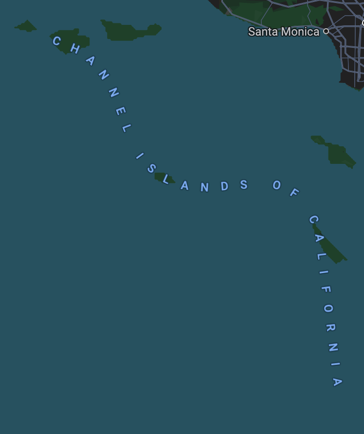
The Google Maps Channel Islands Labeling Map provides a clear delineation of the Channel Islands, a group of islands located in the English Channel, specifically between England and France. This visualization highlights the names and layout of these islands, including their geographical placements. The Channel Islands, which include Jersey, Guernsey, Sark, and Alderney, are not only significant for their natural beauty but also for their unique political and historical contexts. This map offers insight into their geographical positions and how they relate to mainland territories.
Deep Dive into the Channel Islands
The Channel Islands, often referred to as the Crown Dependencies, are not part of the United Kingdom but are self-governing territories. This distinction is crucial as it shapes their governance, laws, and economic models. The islands collectively cover an area of approximately 70 square miles, with Jersey being the largest at about 46.2 square miles. Interestingly, these islands have a rich history dating back to the Roman times and have witnessed various invasions and occupations, influencing their cultural landscape today.
The geography of the Channel Islands is characterized by dramatic cliffs, sandy beaches, and lush countryside, which create a diverse ecosystem. The islands are renowned for their unique biodiversity, including several endemic species of flora and fauna. The region experiences a temperate maritime climate, which supports an array of agricultural activities, particularly the cultivation of potatoes and dairy farming. Have you ever wondered how these islands manage their natural resources?
Economically, the Channel Islands have developed a robust finance sector, particularly in offshore banking and financial services. This has led to a significant portion of their revenue being derived from the financial industry, impacting local employment and housing markets. The islands also promote tourism, drawing visitors to their historical sites, beautiful coastlines, and unique cultural offerings. In fact, tourism contributes an estimated £200 million to the local economy annually, showcasing the islands' appeal beyond their financial services.
Regional Analysis
When analyzing the Channel Islands, it's essential to highlight the individual characteristics of each island. Jersey, for instance, boasts a population of around 108,000, making it the most populous. Its capital, St. Helier, is a vibrant hub for commerce and culture, attracting both residents and tourists. In contrast, Guernsey, with a population of approximately 63,000, is known for its agricultural output, particularly its famous Guernsey cows, which produce rich milk and cheese.
Sark and Alderney are much smaller with populations of around 600 and 2,000, respectively. Sark is particularly unique as it has no cars; transportation relies on bicycles and horse-drawn carts, contributing to its tranquil charm. The variations in population density, economic activities, and lifestyles across these islands present a fascinating study of how geography influences human activities.
Significance and Impact
Understanding the geography and labeling of the Channel Islands on maps is significant for several reasons. Firstly, it highlights the islands' strategic location near major shipping routes, which has historically made them a point of interest for trade and military activities. Secondly, recognizing their status as Crown Dependencies allows for a better understanding of their political autonomy and the implications of British and European Union laws on their governance.
Furthermore, with increasing global interest in offshore finance and tax regulations, the Channel Islands are often in the spotlight. Current trends suggest that the islands may need to adapt to changing international standards and practices, particularly regarding transparency and financial regulation. This adaptation could have profound implications for their economies and governance structures in the coming years.
In conclusion, the Channel Islands are not just a collection of picturesque islands; they are a complex tapestry of culture, history, and economics shaped by their geography. The Google Maps visualization serves as a gateway to understanding these intricacies, making it a valuable resource for anyone interested in the geography of this unique region.
Visualization Details
- Published
- August 29, 2025
- Views
- 58
Comments
Loading comments...