korea Maps
5 geographic visualizations tagged with "korea"

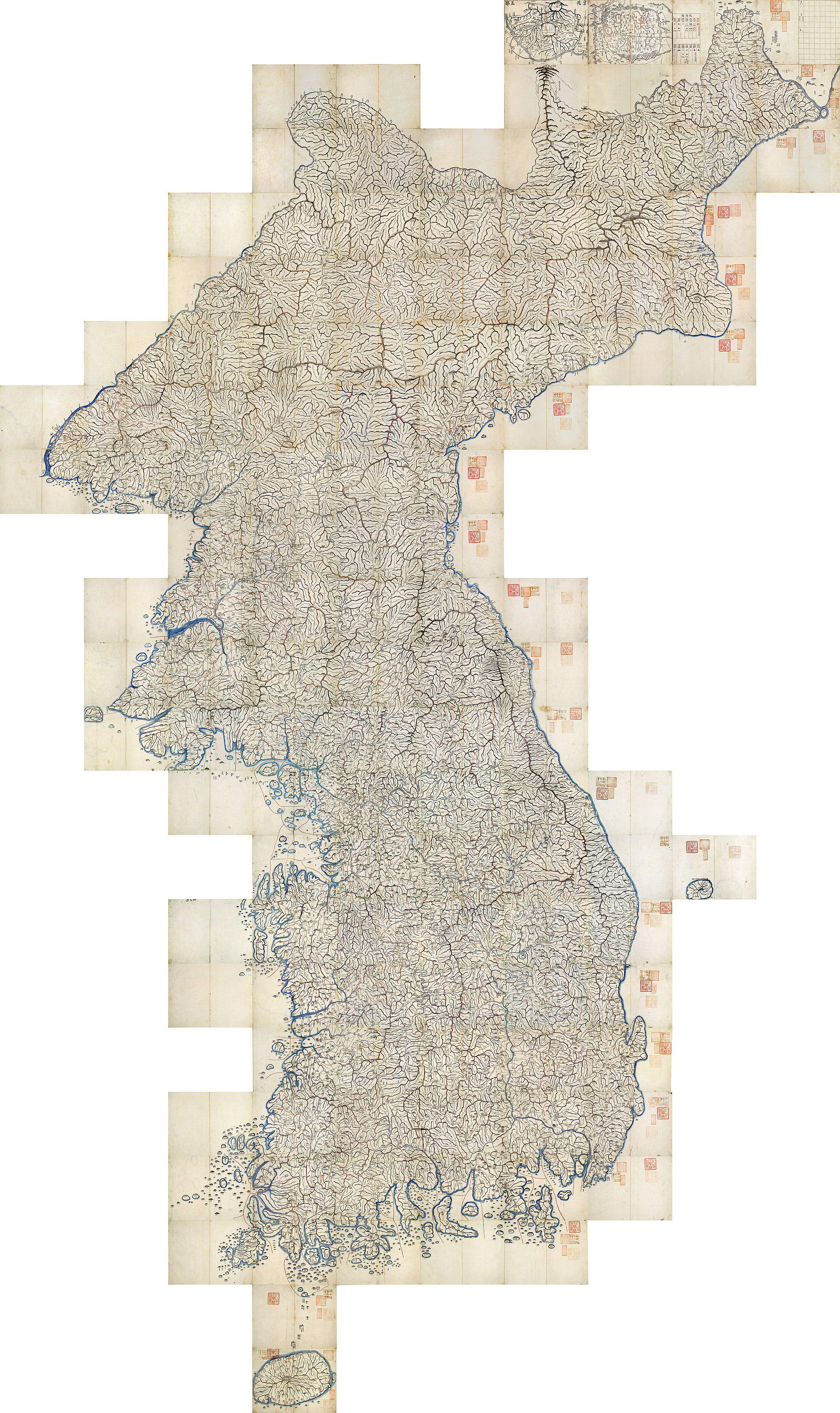
1861 Map of Korea Overview
The 1861 map of Korea presents a snapshot of the Korean Peninsula during a pivotal time in its history, before the adven...
👁 62📅 9/25/2025

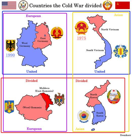
Map of Countries Divided by WW2 and Cold War
This map visually represents the geopolitical divisions of four countries—Germany, Korea, Vietnam, and Poland—resulting ...
👁 22📅 10/2/2025

Historical Map of the Koreas
This visualization presents a concise historical overview of the Koreas through eight distinct maps, each illustrating p...
👁 40📅 9/29/2025

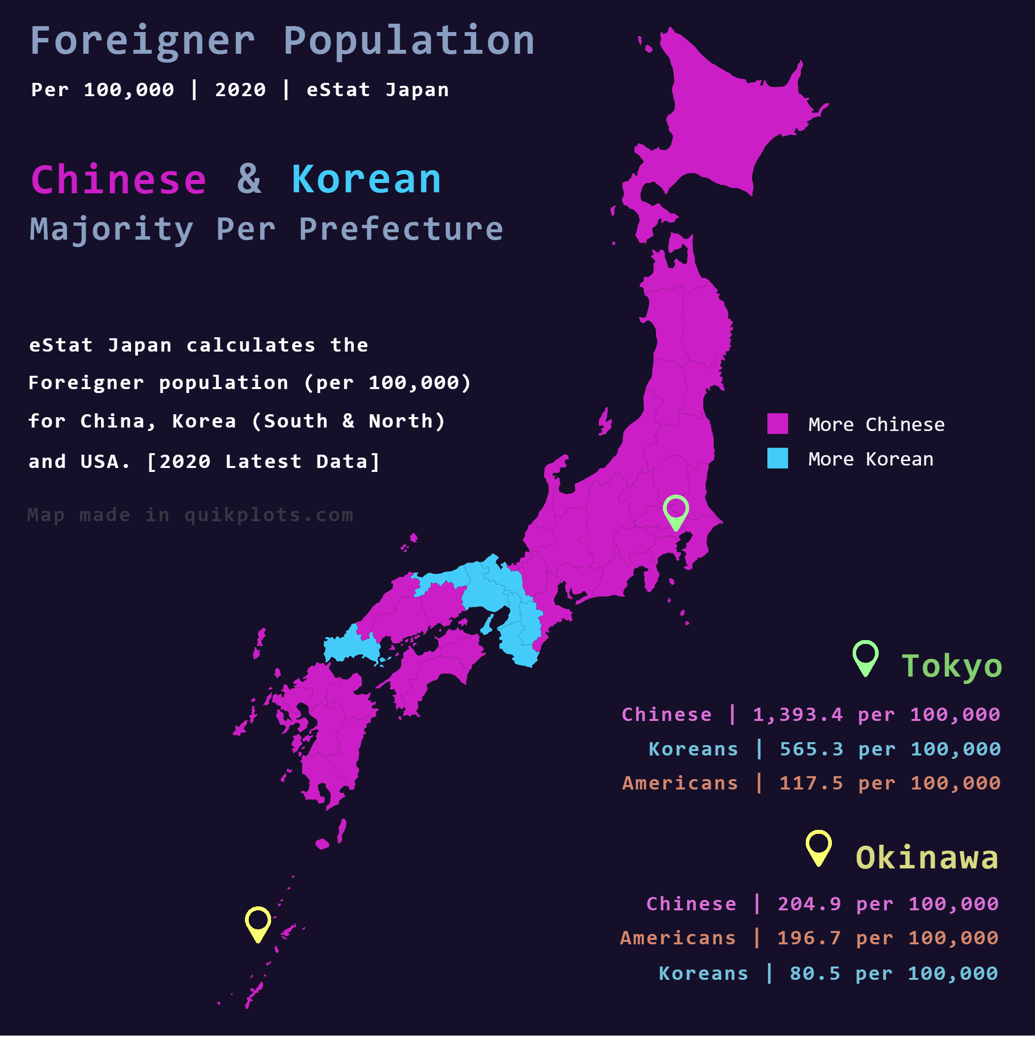
Chinese and Korean Foreigners in Japan Map
The map titled "Chinese & Korean foreigners in Japan" provides a detailed visualization of the foreign population from C...
👁 24📅 10/11/2025

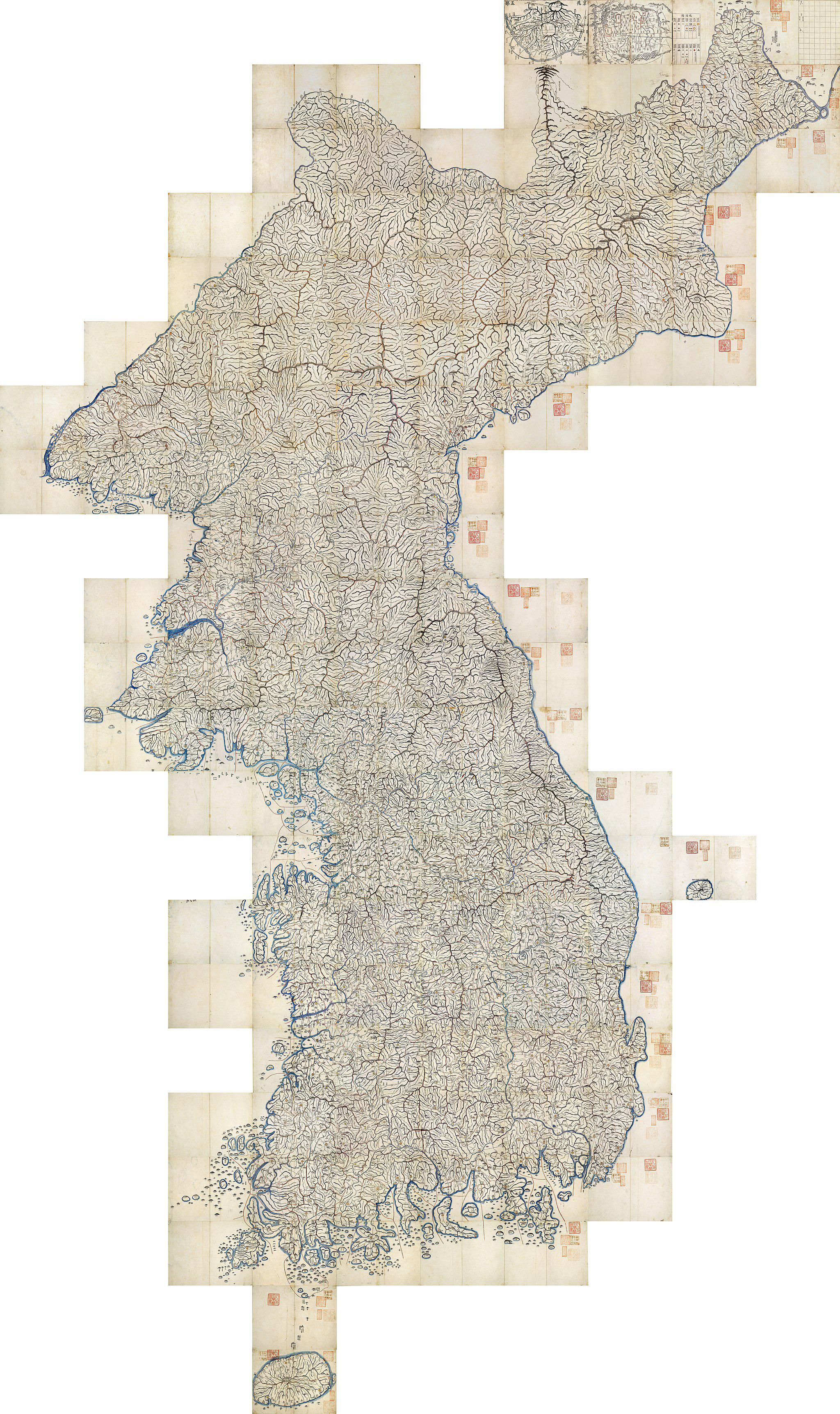
1861 Map of Korea Overview
The 1861 map of Korea is a remarkable testament to the geographical understanding of the Korean Peninsula during a time ...
👁 42📅 9/25/2025