congressional districts Maps
3 geographic visualizations tagged with "congressional districts"

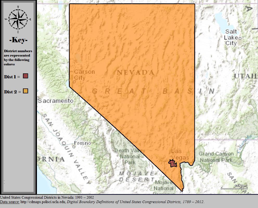
Nevada Congressional Districts Map 2000
The visualization titled 'Nevada’s Congressional Map In 2000' showcases the state's congressional district boundaries as...
👁 92📅 8/13/2025

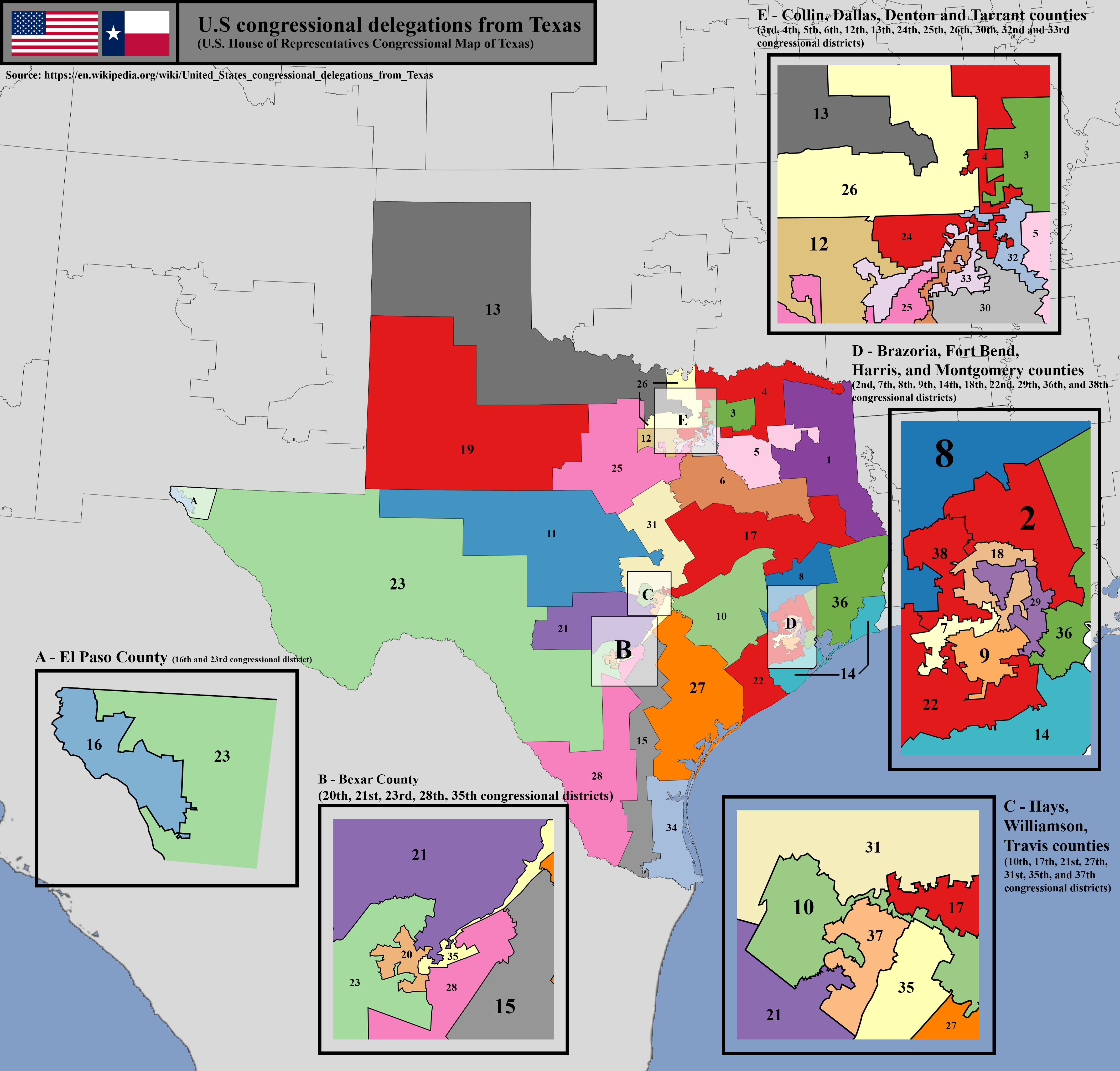
U.S. House of Representatives Congressional District Map of Texas
The U.S. House of Representatives congressional district map of Texas visually represents the boundaries of each congres...
👁 82📅 8/13/2025

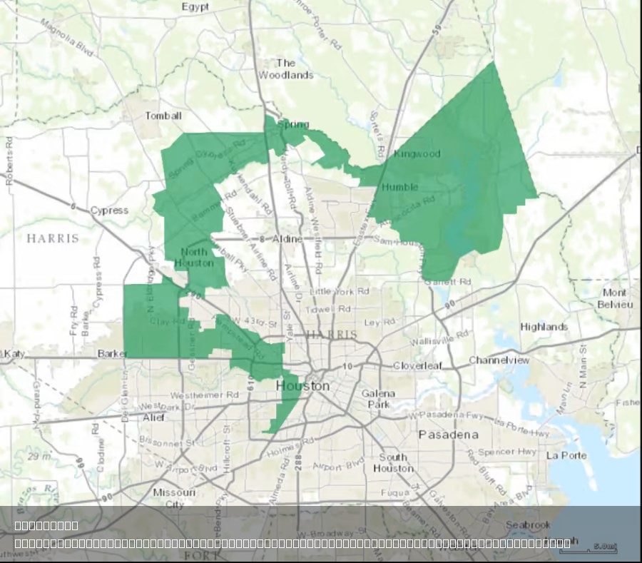
Texas's 2nd Congressional District Map Analysis
The provided map illustrates the geographical boundaries of Texas’s 2nd Congressional District, a region that has been t...
👁 108📅 8/4/2025