Google Maps Launch Day Features Map

Marcus Rodriguez
Historical Geography Expert
Marcus Rodriguez specializes in historical cartography and geographic data analysis. With a background in both history and geography, he brings unique...
Geographic Analysis
What This Map Shows
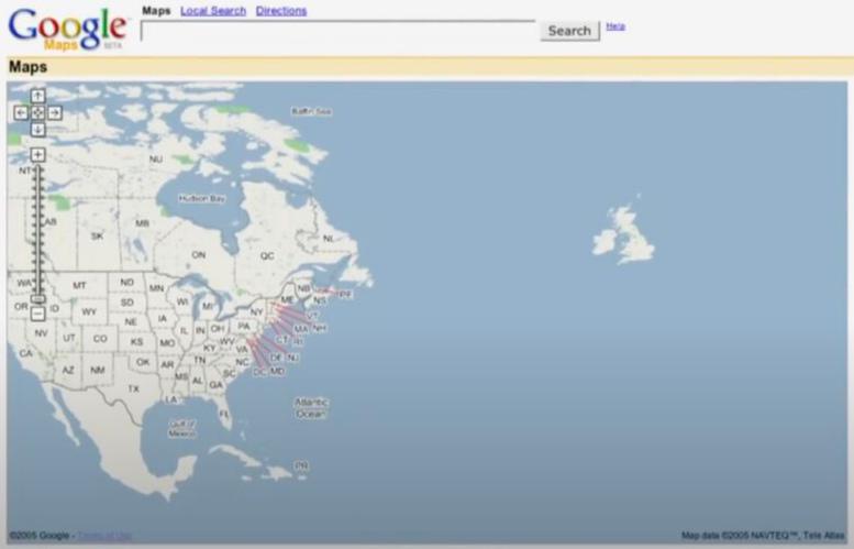
This visualization captures the initial interface and feature set of Google Maps when it launched in 2005. It highlights the primary functionalities available at that time, including basic street mapping, the pioneering use of satellite imagery, and the absence of some modern features we now take for granted, such as real-time traffic updates and user-generated content.
However, this map is more than just a historical snapshot; it signifies the starting point for a transformative tool that would redefine navigation and mapping. What’s fascinating is how it laid the groundwork for the evolution of digital maps and geographic data systems, changing the way we interact with our environment.
Deep Dive into Digital Mapping
The world of digital mapping was in its infancy when Google Maps emerged. Prior to its launch, most mapping services were limited to static images or basic routing tools. Google Maps brought interactive mapping to the masses, allowing users to zoom in and out, drag the map around, and search for specific locations with ease. This shift was monumental for both everyday users and businesses.
In the early 2000s, the internet was rapidly evolving. As broadband connections became more common, the demand for interactive and engaging web applications surged. Google recognized this need, and by integrating satellite imagery with a user-friendly interface, it created a mapping service that was not only functional but also visually appealing. The satellite view, introduced with the launch, allowed users to view their surroundings from above, offering a new perspective that was previously inaccessible to the average person.
Interestingly, Google Maps also implemented a feature that allowed users to switch between different map styles, including terrain and street views, which would later evolve into the iconic Google Street View. This capability to visualize geographic data in various forms enabled users to better understand the topography of an area, fostering a deeper connection to their surroundings.
As Google Maps grew, so did its impact on urban planning and navigation. Local businesses began to recognize the advantages of being listed on Google Maps, which led to a surge in digital marketing and location-based services. This trend has continued to expand, with millions of businesses now leveraging Google’s mapping platform to enhance their visibility and attract customers.
Regional Analysis
When examining the map of Google Maps on launch day, it's essential to consider how this service has been adopted differently across regions. For instance, urban areas in the United States quickly embraced Google Maps, given their existing infrastructure and tech-savvy populations. Cities like San Francisco and New York became testing grounds for advanced features, such as real-time traffic updates and localized business listings.
In contrast, rural regions and developing countries have seen a slower adoption rate. In many cases, the digital divide has limited access to reliable internet connections, which in turn restricts the use of interactive mapping services. Interestingly, as mobile technology has improved and smartphone penetration has increased globally, even remote areas are beginning to benefit from digital mapping technologies.
Moreover, variations in government regulations regarding data use and privacy have also impacted how Google Maps operates in different regions. For example, in several countries, there are restrictions on the use of satellite imagery due to national security concerns, which can limit the detail available to users.
Significance and Impact
The launch of Google Maps marked a pivotal moment in the history of geography and cartography. It democratized access to geographic information, empowering everyday users to navigate their world with unprecedented ease. The implications of this shift are profound. With the ability to access maps from anywhere, people can make informed decisions about travel, real estate, and even emergency response planning.
Today, we see the effects of this transformation everywhere. From ride-sharing apps that rely on accurate mapping data to urban planners who utilize geographic information systems (GIS) for better city designs, the influence of Google Maps is undeniable. Looking ahead, we can expect further advancements in mapping technology, including augmented reality (AR), which will enhance our spatial awareness even more. Have you noticed how virtual reality and AR are already starting to blend with mapping technologies?
As we reflect on the humble beginnings of Google Maps in 2005, it’s clear that this service has not only changed how we navigate but has also paved the way for innovations that will continue to shape our interactions with geography for years to come.
Visualization Details
- Published
- August 28, 2025
- Views
- 122
Comments
Loading comments...