East Africa 1902 Map and Historical Context

Marcus Rodriguez
Historical Geography Expert
Marcus Rodriguez specializes in historical cartography and geographic data analysis. With a background in both history and geography, he brings unique...
Geographic Analysis
What This Map Shows
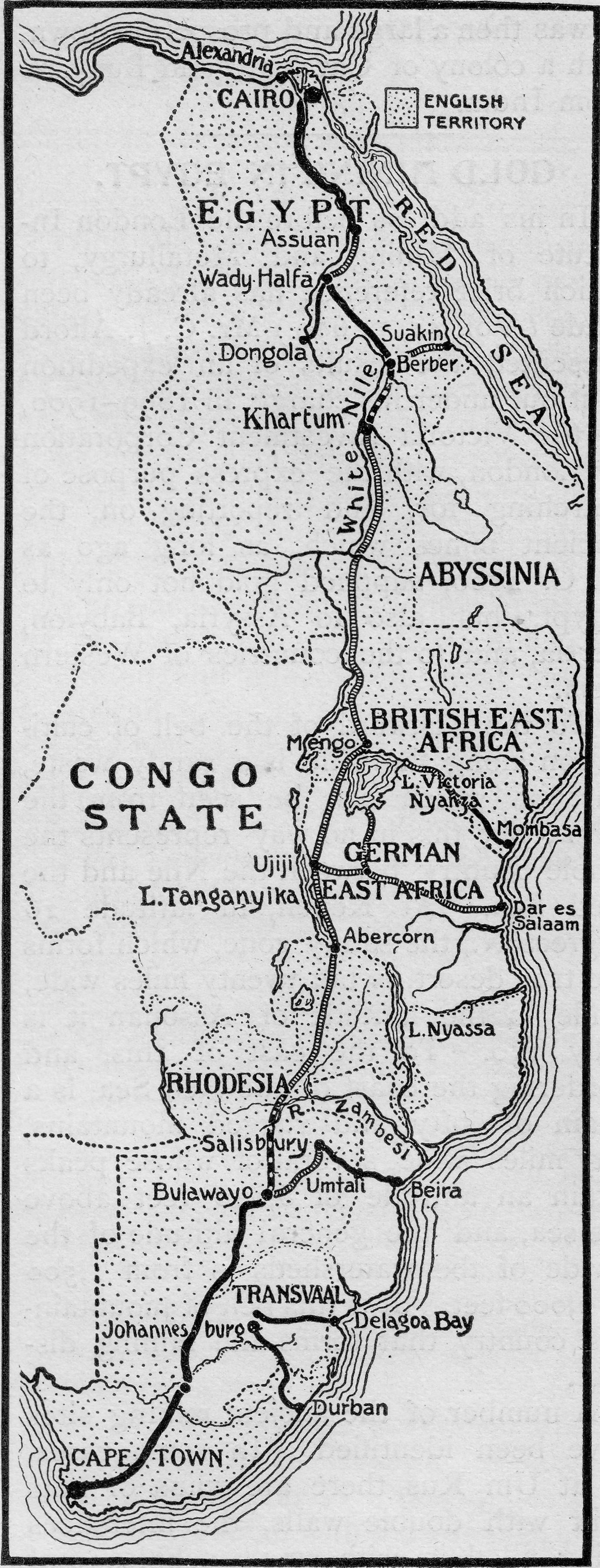
The map titled "East Africa, 1902" provides a historical snapshot of the region during a pivotal time in its colonial history. It illustrates the geographical boundaries, major cities, and colonial territories that were present at the turn of the 20th century. Notably, this map is set against the backdrop of significant sociopolitical changes, particularly in regard to the gradual abolition of slavery in German East Africa, an event that has far-reaching implications for the region's social fabric.
Deep Dive into Slavery and Colonial Dynamics
Slavery in East Africa, particularly under colonial rule, was deeply entrenched in the economy and society. The region, comprising present-day Tanzania, Kenya, and Uganda, was a hotbed for the slave trade, with its strategic position along trade routes facilitating the movement of enslaved individuals. Interestingly, it wasn't just the extraction of resources that defined the colonial experience in East Africa; the human element was integral to the economic machinery of the time.
The German Empire's edict in December 1901 to gradually abolish slavery marked a significant shift in policy. This move was not merely a humanitarian gesture but rather a response to growing international pressure and changing attitudes towards human rights. The rules allowing enslaved individuals to purchase their freedom and mandating that 'owners' provide working days for personal enterprise were revolutionary at the time. However, the implementation of these regulations was often met with resistance from colonial authorities and landowners who relied on slave labor for agricultural production, particularly in cash crops like coffee and sisal.
Moreover, while this edict was a step forward, it did not immediately translate into freedom for all enslaved individuals. The socio-economic structures of the time continued to perpetuate exploitation, and many enslaved people faced significant hurdles in their quest for emancipation. The gradual nature of the abolition process also meant that the impact of these changes would take time to manifest fully.
The map serves as a reminder of the complex interplay between geography and human rights. The topography of East Africa, characterized by its diverse landscapes—from coastal regions to highlands—was not only important for trade routes but also shaped the experiences of those living within these boundaries. For instance, the fertile lands of the East African highlands were prime for agriculture, where enslaved labor was exploited to cultivate lucrative cash crops.
Regional Analysis
When examining East Africa through the lens of this map, it's important to consider the distinct regions that make up the area. For example, in the coastal regions of present-day Tanzania, the city of Dar es Salaam emerged as a crucial port. It served not only as a hub for trade but also a point of entry for European powers to exert their influence.
Moving inland to the highlands of Kenya and Uganda, we can observe how geography influenced settlement patterns. The cooler climates and fertile land attracted both settlers and enslaved individuals, leading to a demographic shift that would have consequences for local tribes and communities. Different ethnic groups had varying interactions with colonial powers, leading to a patchwork of alliances and conflicts that would shape the region's future.
In contrast, the deserts and arid regions found in northern Kenya presented different challenges. The sparse population and difficult living conditions meant that traditional forms of subsistence were often disrupted by colonial policies that prioritized cash crop production over the needs of local communities. This regional disparity highlights the complex and varied impacts of colonial rule across East Africa.
Significance and Impact
Understanding the historical context of the East Africa, 1902 map is crucial for recognizing the long-lasting implications of colonialism in the region. While the gradual abolition of slavery was a monumental step towards human rights, it also laid bare the systemic inequalities that would persist long after emancipation. The legacy of slavery and colonial exploitation continues to affect socio-economic conditions in East Africa today, influencing factors such as land ownership, economic opportunities, and social stratification.
Currently, East Africa is witnessing a resurgence of interest in its history and culture, with movements aimed at reclaiming narratives that have been overshadowed by colonial accounts. As countries in the region grapple with their past, there is a growing acknowledgment of the need for inclusive policies that address historical injustices. The map of East Africa in 1902 serves not only as a historical artifact but as a vital tool for understanding the complexities that shape the modern-day landscape of this vibrant region.
In conclusion, maps like "East Africa, 1902" not only depict geographical features but also encapsulate the social, economic, and political narratives that define a place. They invite us to reflect on the past while considering how those histories influence present realities and future possibilities in East Africa.
Visualization Details
- Published
- August 15, 2025
- Views
- 112
Comments
Loading comments...