liechtenstein Maps
3 geographic visualizations tagged with "liechtenstein"

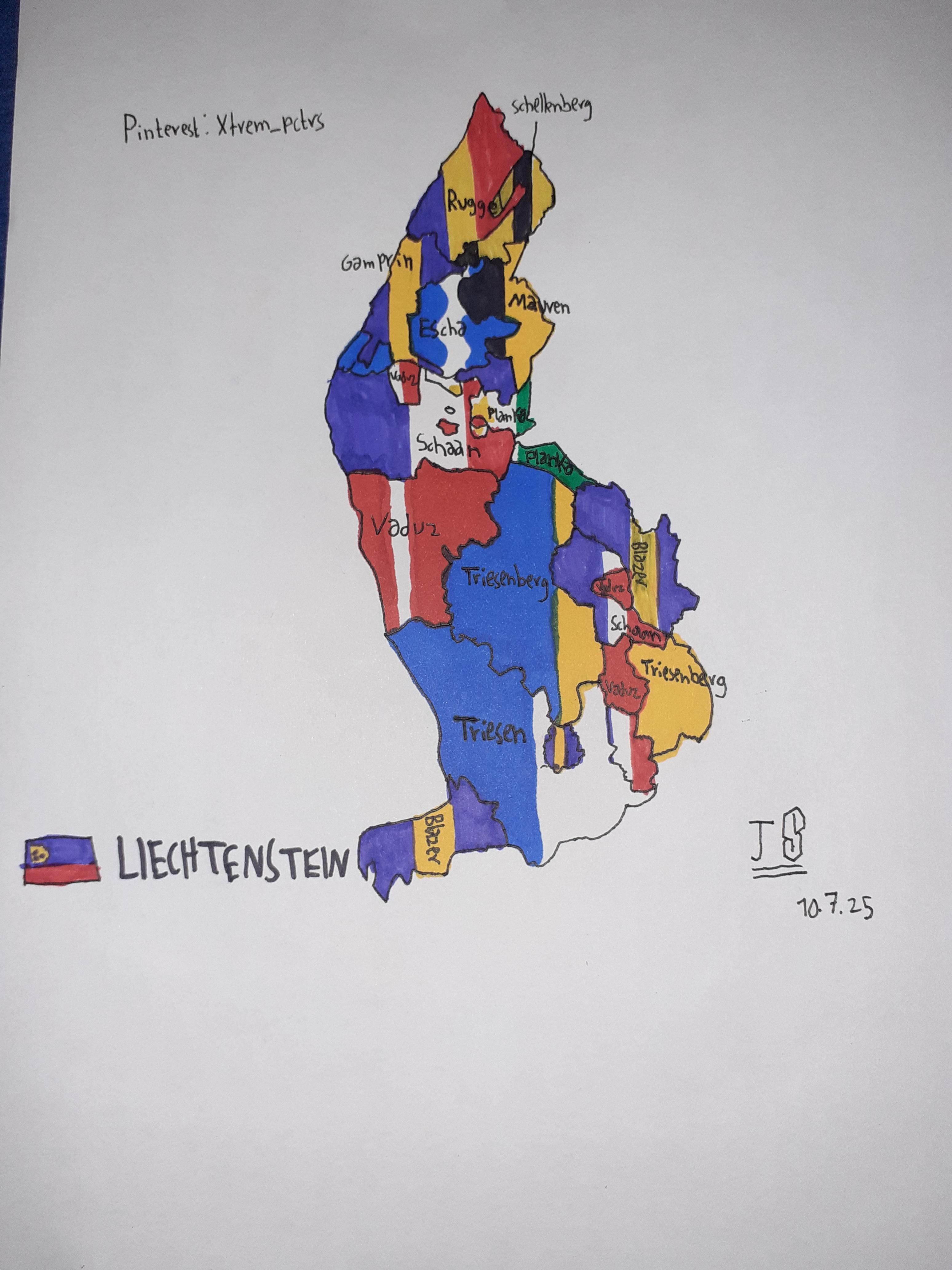
Self-Drawn Flag Map of Liechtenstein States
The visualization titled "Self-Drawn Flag Map of Liechtenstein States" presents a unique and artistic representation of ...
👁 36📅 10/7/2025

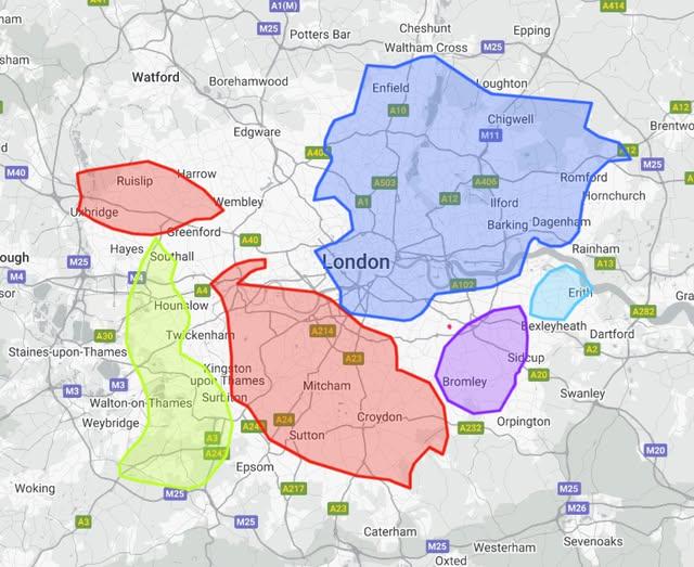
Europe Microstates Size Comparison Map
The visualization titled "All 6 of Europe’s Microstates Could Easily Fit Within London" provides a striking comparison b...
👁 72📅 9/20/2025

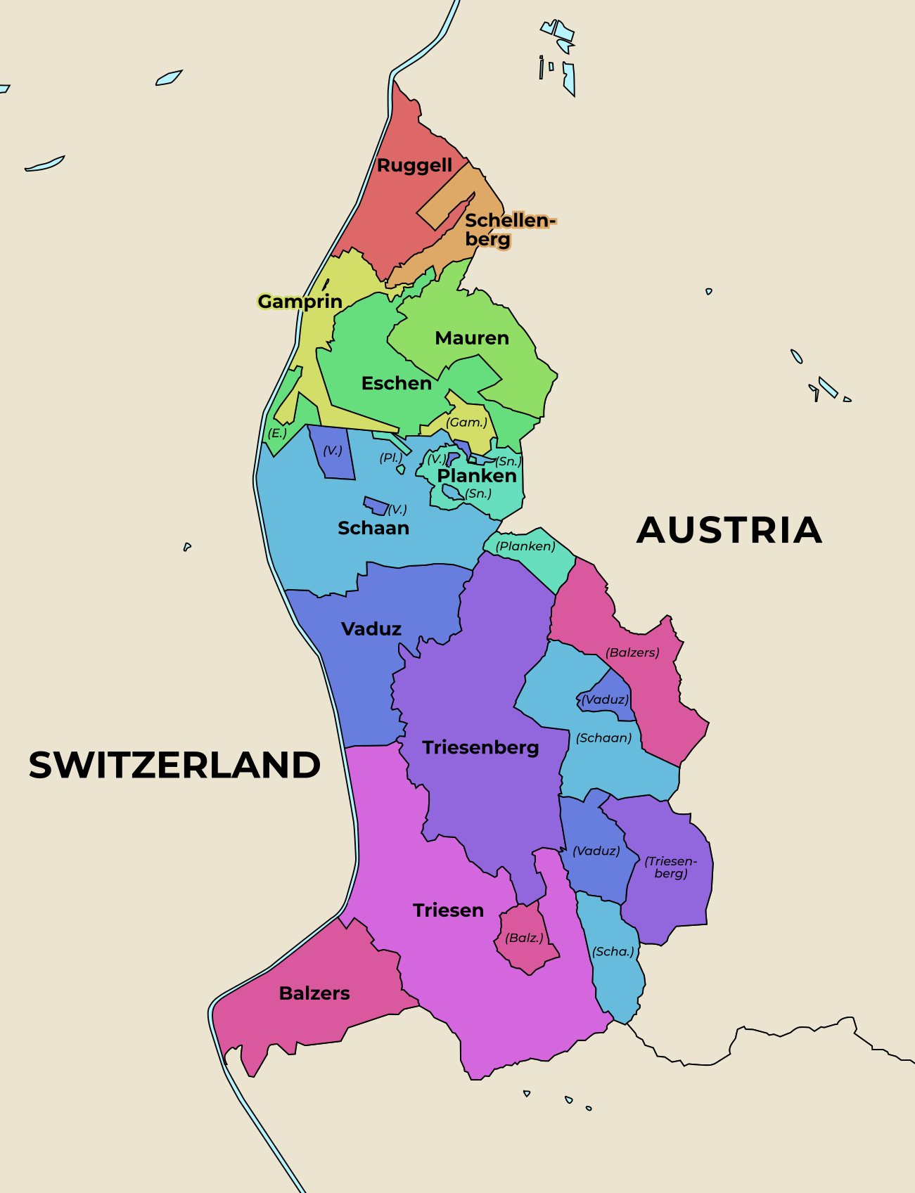
Administrative Map of Liechtenstein
The administrative map of Liechtenstein presents a clear and detailed visualization of the country's municipalities, whi...
👁 62📅 9/8/2025