U.S. Military Strategic Map of 2025

David Chen
Data Visualization Specialist
David Chen is an expert in transforming complex geographic datasets into compelling visual narratives. He combines his background in computer science ...
Geographic Analysis
What This Map Shows
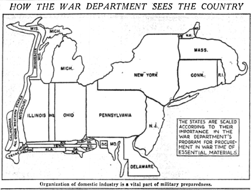
The map titled "How the War Department Sees the Country" provides a military-focused perspective of the United States in 2025. It highlights various strategic military installations, troop deployments, and critical infrastructure that are essential for national defense. This visualization encapsulates how the military perceives the geographic landscape of the nation, emphasizing areas of interest for security, logistics, and operational readiness.
Deep Dive into Military Geography
Military geography is a specialized field that examines how geographical factors influence military operations, strategy, and planning. The U.S. military considers terrain, climate, population density, and infrastructure when formulating strategies. Each of these factors plays a crucial role in determining how forces are deployed and where conflicts may arise.
One fascinating aspect of military geography is the significance of terrain. For instance, mountainous regions can serve as natural barriers, complicating troop movements and supply lines. Conversely, flat plains may facilitate rapid troop mobility and the establishment of large encampments. The map indicates areas that could be strategically advantageous or disadvantageous, depending on the military objectives.
Weather patterns also play a critical role in planning military operations. The map may illustrate climatic zones that are crucial for understanding seasonal weather variations, which can affect everything from troop movement to supply routes. For example, operations in the Midwest during winter months must account for snow and ice, while summer in the Southwest could bring extreme heat that impacts soldier endurance.
Interestingly, the map also reflects population density, which is vital for logistics. Areas with high population densities might provide necessary support, such as access to local resources, but they can also pose challenges in terms of civilian safety and potential collateral damage. This aspect of military geography emphasizes the need for careful planning in urban environments, where operations must balance military objectives with humanitarian concerns.
Furthermore, the presence and condition of infrastructure—such as roads, bridges, and airfields—can heavily influence military strategy. The map likely highlights key transportation routes that are essential for mobilizing troops and supplies. Maintaining these routes is critical for operational success, especially in times of conflict.
Regional Analysis
Breaking down the U.S. into regions, we can see how different geographic features influence military strategy across the country. For example, the Pacific Coast, with its proximity to the ocean, plays a significant role in naval operations. Major bases like Naval Base San Diego and Joint Base Pearl Harbor-Hickam are critical for maintaining U.S. naval presence in the Indo-Pacific region.
In contrast, the Great Plains serve as a training ground for land forces, particularly armored divisions. The expansive terrain allows for large-scale exercises that are essential for troop readiness. States like Kansas and Nebraska, with their vast open spaces, are typically designated for such activities.
The East Coast, home to densely populated urban centers, presents its own unique challenges and opportunities. Military installations like the Pentagon in Virginia and various Air Force bases in Florida highlight the importance of the region for national defense, but operations here must be carefully coordinated to minimize civilian disruption.
Moreover, the Southern U.S., often associated with military training and readiness, hosts multiple bases, including Fort Bragg in North Carolina, which is one of the largest military installations in the world. Its strategic location allows for rapid deployment to both domestic and international operations.
Significance and Impact
The military's perspective on geography is not merely an academic exercise; it has real-world implications for national security and defense strategy. Understanding the geographic landscape helps the military anticipate potential threats and prepare accordingly. This is especially crucial in an era where geopolitical tensions are rising, and the need for a well-prepared military is more pronounced than ever.
Current trends indicate that the U.S. military is increasingly focused on integrating technology with traditional geographic considerations. For instance, advances in satellite imagery and drone technology allow for more precise mapping and analysis, enhancing operational efficiency and effectiveness.
As we look toward the future, the importance of adapting military strategies to evolving geographic realities cannot be overstated. Factors such as climate change are reshaping landscapes and could lead to new areas of conflict, making this map not just a reflection of current military thinking, but a crucial tool for anticipating and preparing for future challenges.
In conclusion, the military's geographic perspective is a complex interplay of terrain, climate, population, and infrastructure. By understanding these elements, we can better appreciate the intricate planning that goes into national defense and the importance of geography in shaping our security landscape.
Visualization Details
- Published
- October 29, 2025
- Views
- 6
Comments
Loading comments...