rivers Maps
21 geographic visualizations tagged with "rivers"
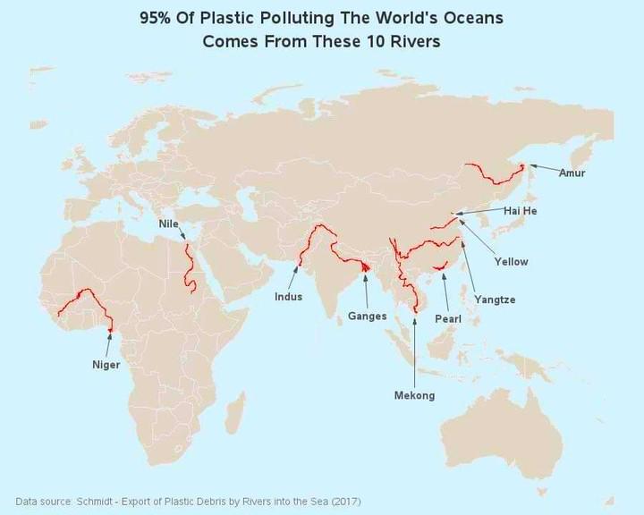
Map of Rivers Contributing to Ocean Plastic
The map titled "95% of Ocean Plastic Originates from These 10 Rivers" highlights the critical role that certain river sy...
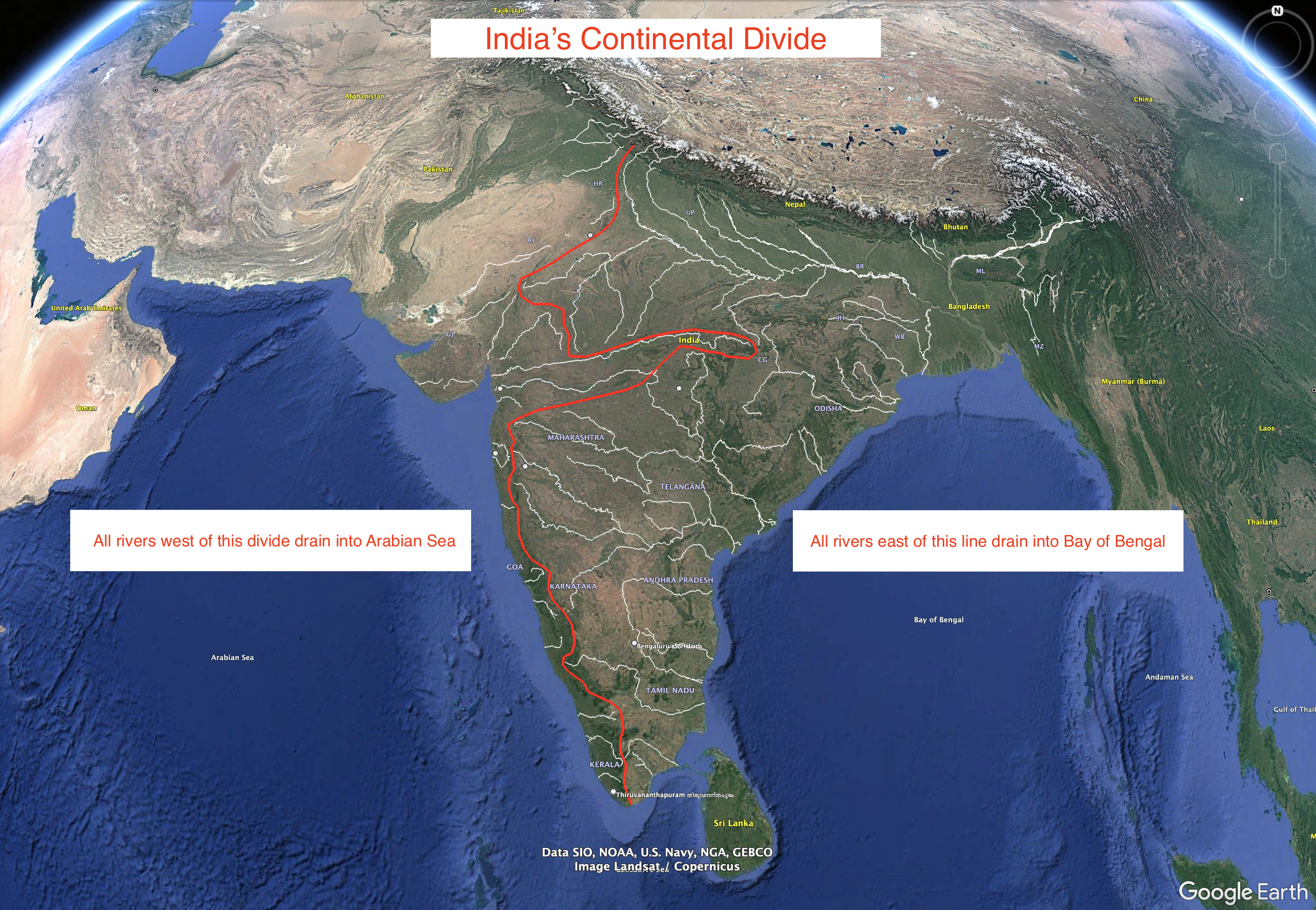
India's Continental Divide Map
This visualization represents an approximation of India's continental divide, illustrating how the landmass is oriented ...
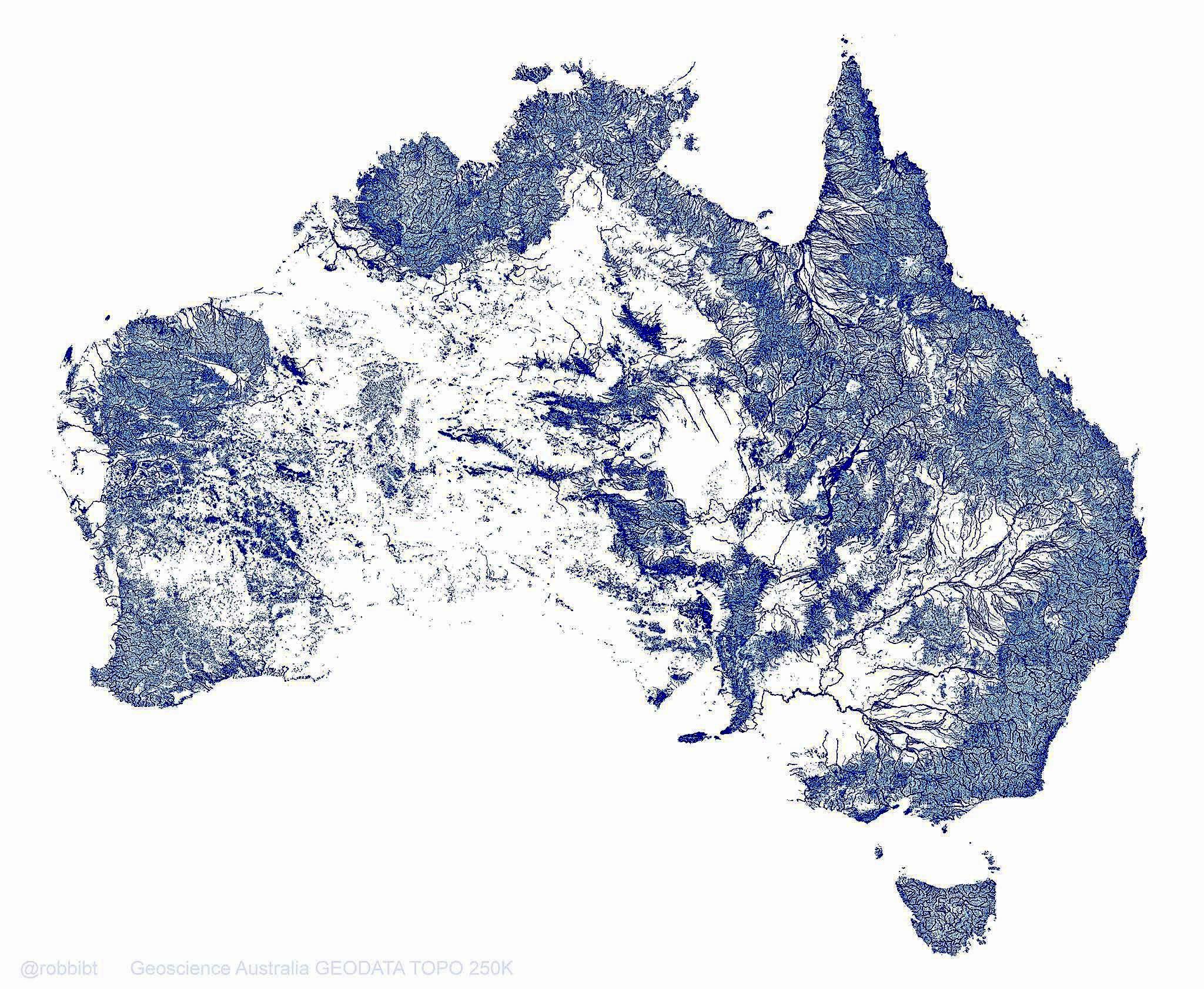
Australia Rivers Map: 1.3 Million Waterways
This map vividly illustrates Australia's extensive network of 1.3 million rivers, streams, and tributaries, which togeth...
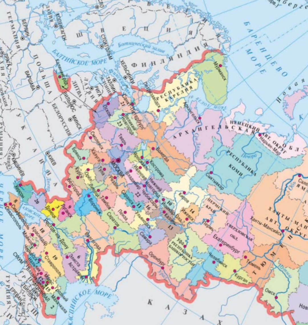
Geographical Features Map of Russia
This map serves as a comprehensive overview of the geographical features of Russia, highlighting its vast landscapes, fr...
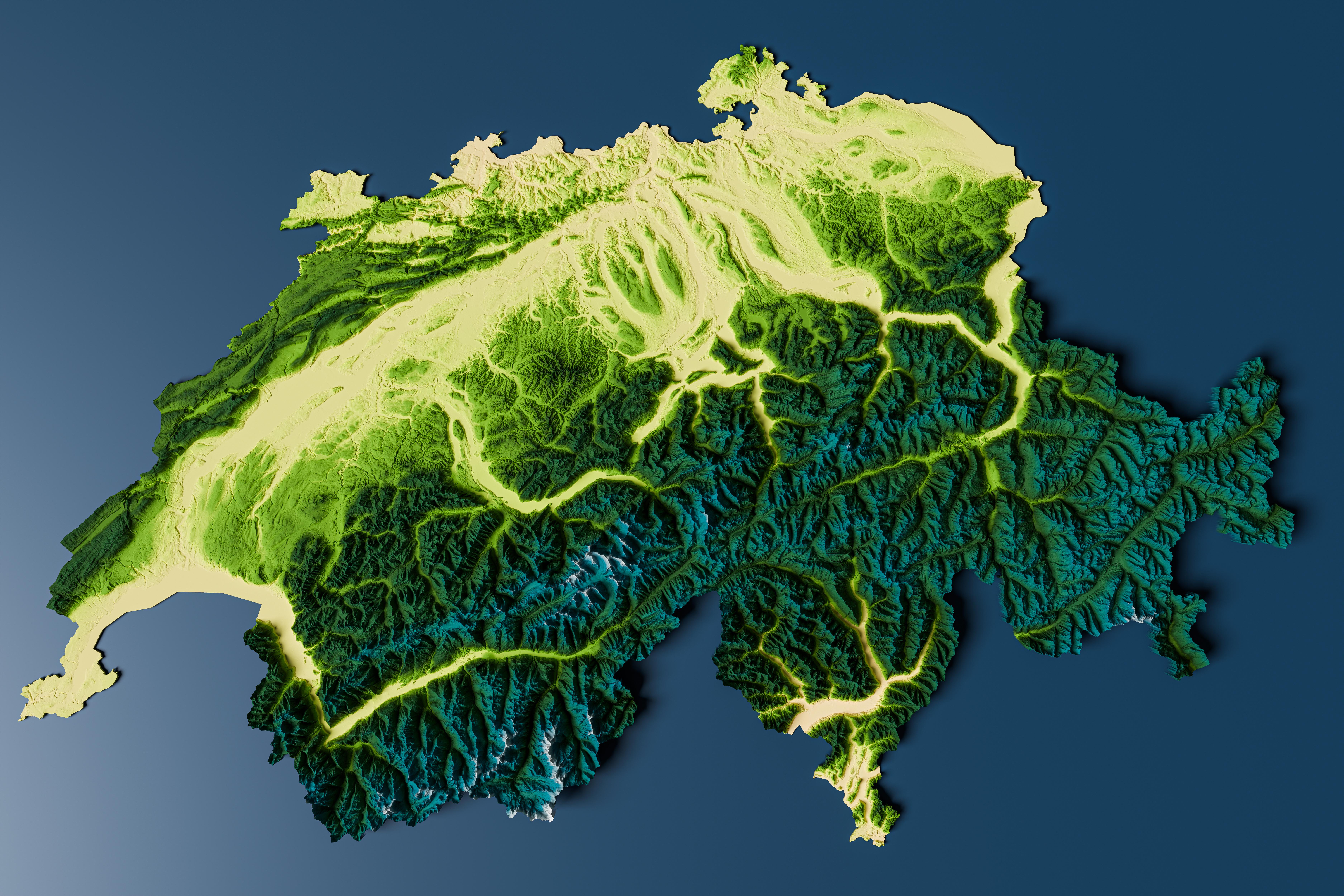
Topographic Relief Map of Switzerland
Interestingly, the topographical variation influences climate, biodiversity, and human settlement patterns. The highest ...
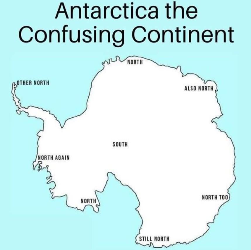
Western United States Geographic Features Map
The "Let's go west 😀" visualization provides a detailed overview of the geographic features of the Western United State...
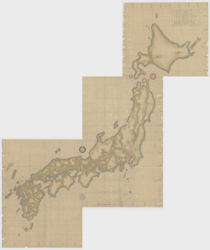
Japanese Topographical Map by Inō Tadataka
The map created by Inō Tadataka in 1821 represents a detailed topographical outline of Japan, showcasing the country's m...
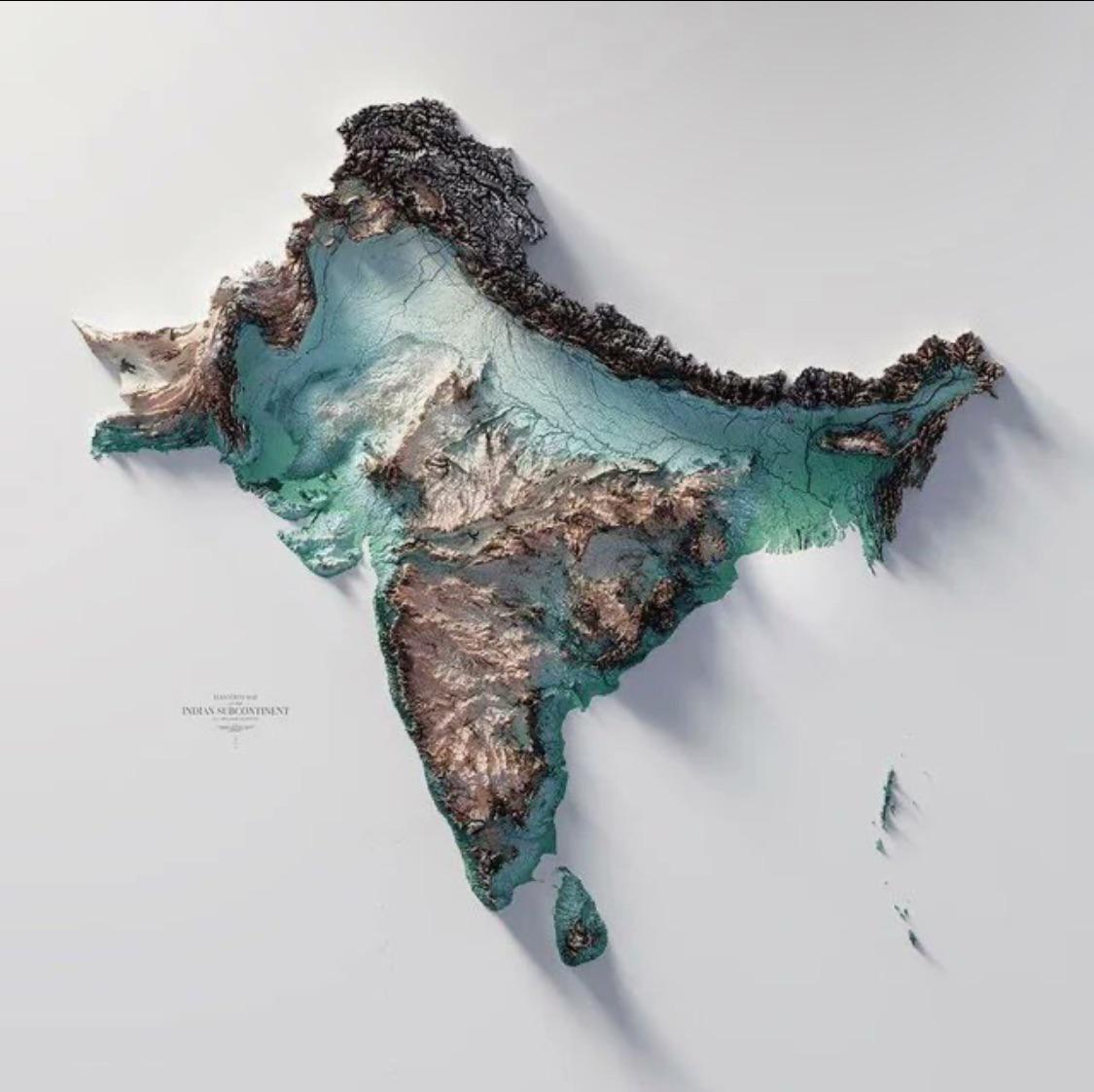
Geographical Map of the Indian Subcontinent
The Indo-Gangetic Plain, one of the most densely populated regions in the world, is another striking feature of the subc...
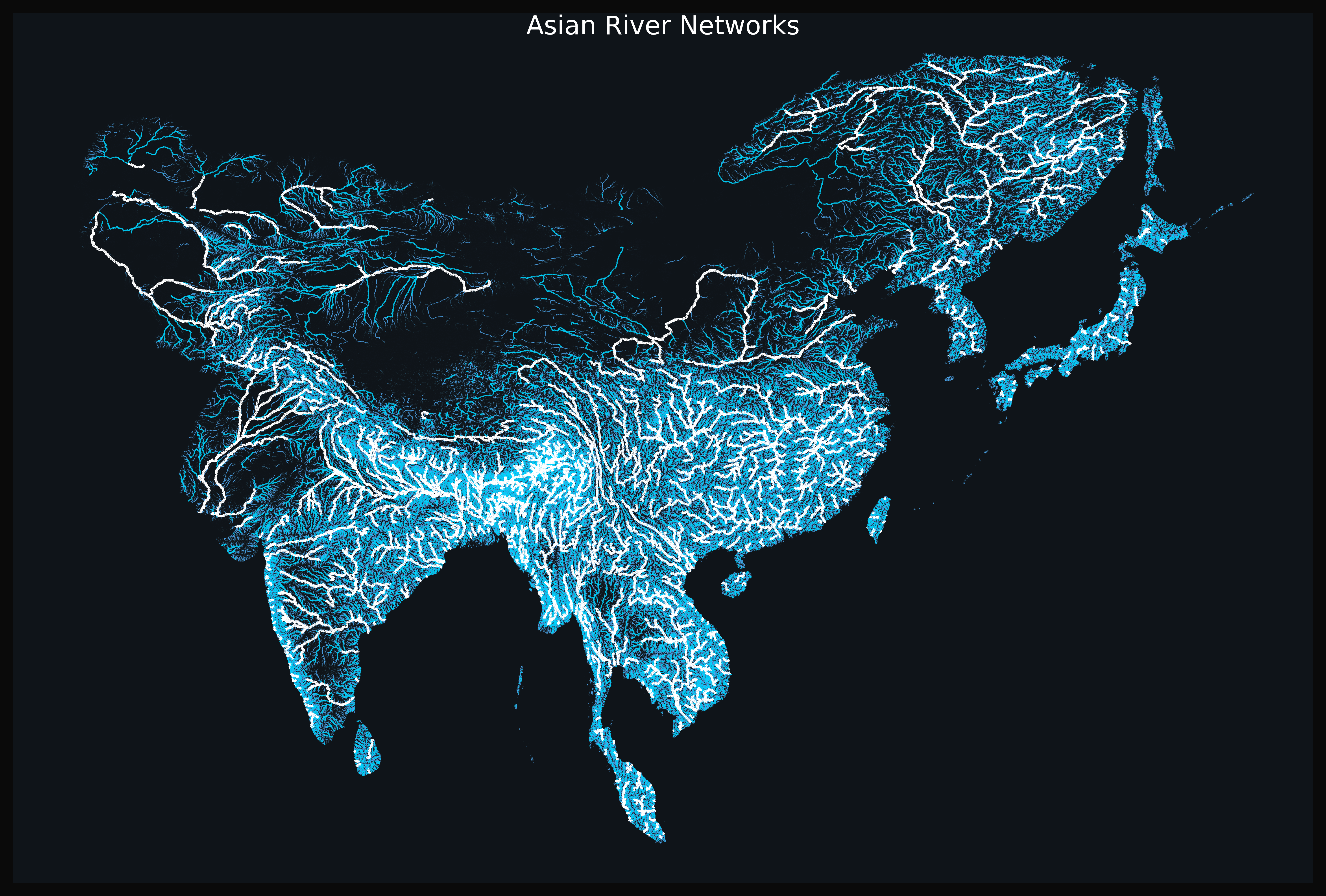
Asian River Networks Map
The "Asian River Networks Map" provides a detailed visualization of the intricate web of river systems across the contin...
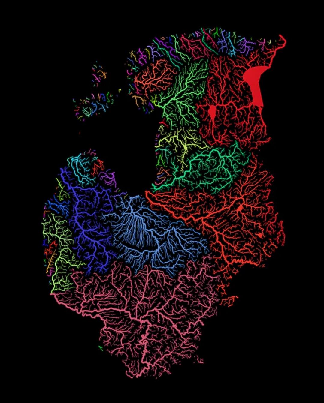
Rivers of the Baltic Nations Map
This map highlights the intricate network of rivers that flow through the Baltic nations of Estonia, Latvia, and Lithuan...
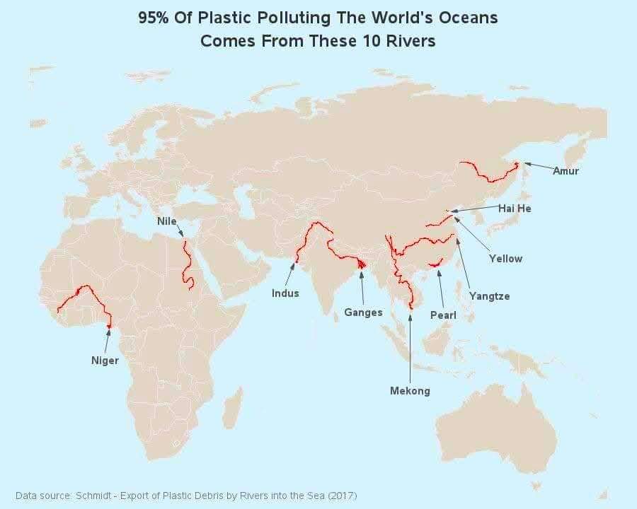
Map of Rivers Contributing to Ocean Plastic
This map illustrates a startling reality: 95% of ocean plastic pollution originates from just ten rivers around the glob...
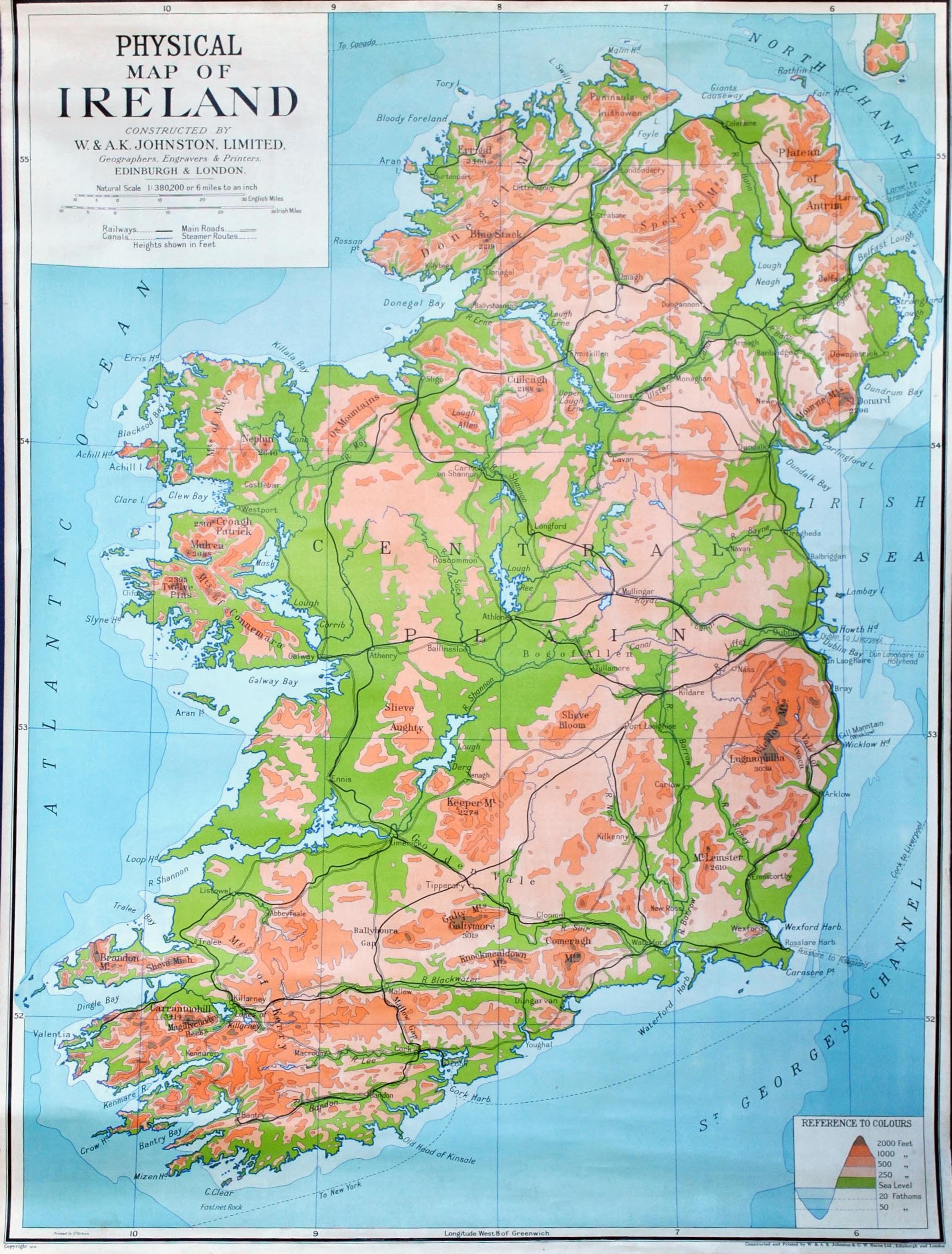
Physical Map of Ireland
The country’s rivers, such as the River Shannon—the longest river in Ireland—play a crucial role in both the ecology and...
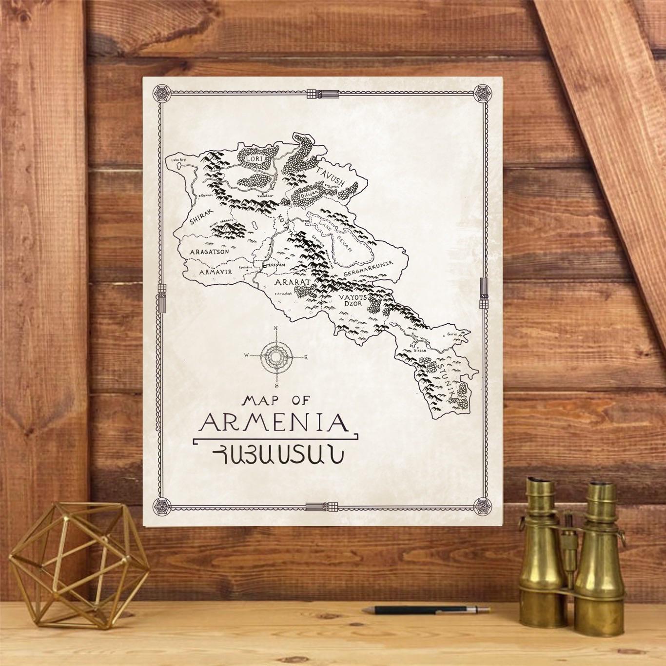
Hand-Drawn Map of Armenia in Tolkien Style
This hand-drawn map of Armenia, inspired by the intricate style of J.R.R. Tolkien, presents a whimsical yet accurate por...
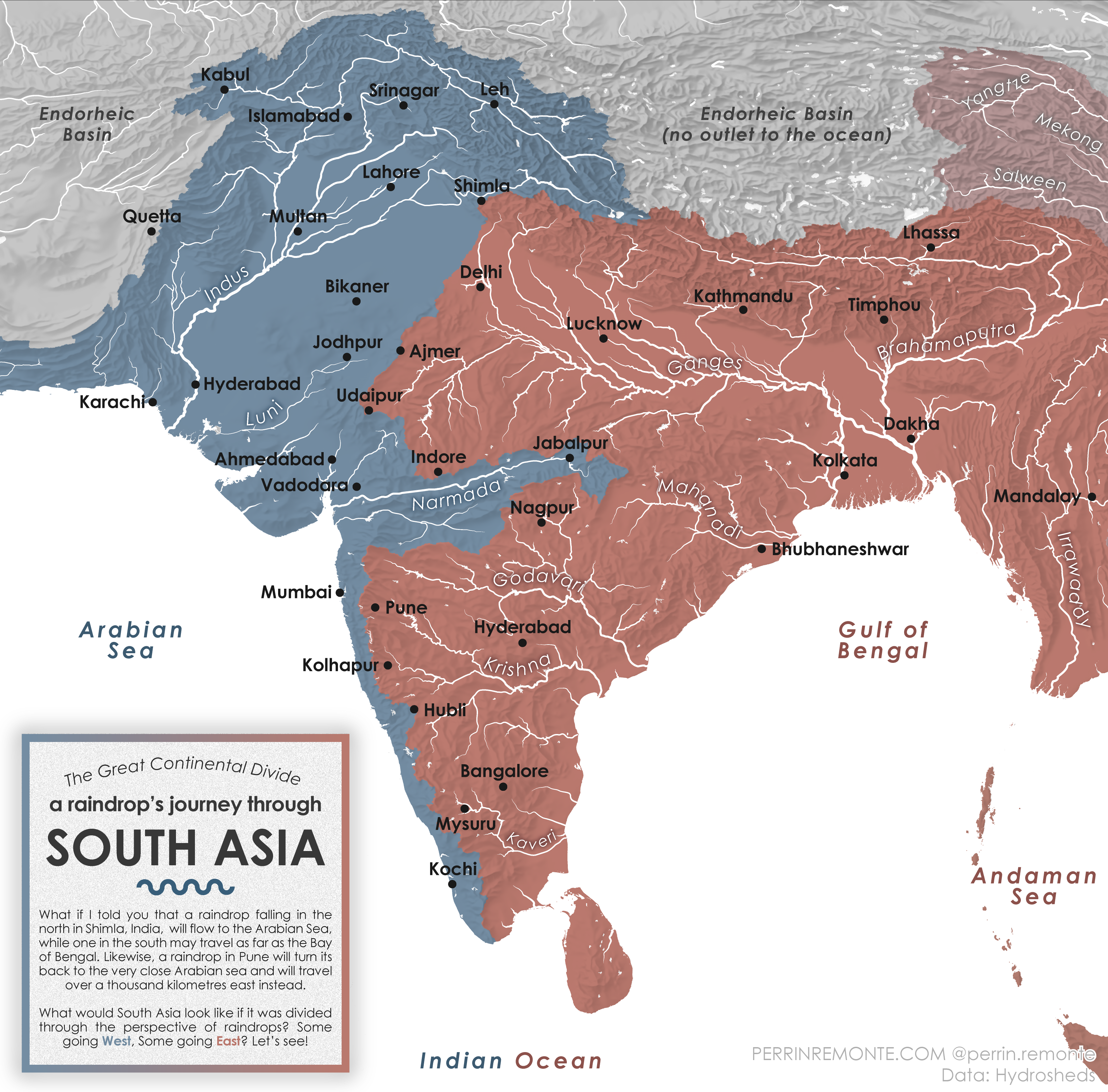
Water Cycle Journey Map of South Asia
The visualization titled "A Raindrop's Journey through South Asia" provides an intriguing look at the water cycle within...
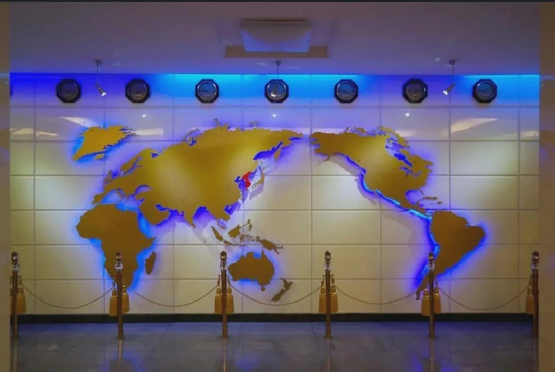
North Korea Map Projection and Geography Overview
The visualization titled "The World Map projection in North Korea. You are not Western anymore!" presents a unique persp...
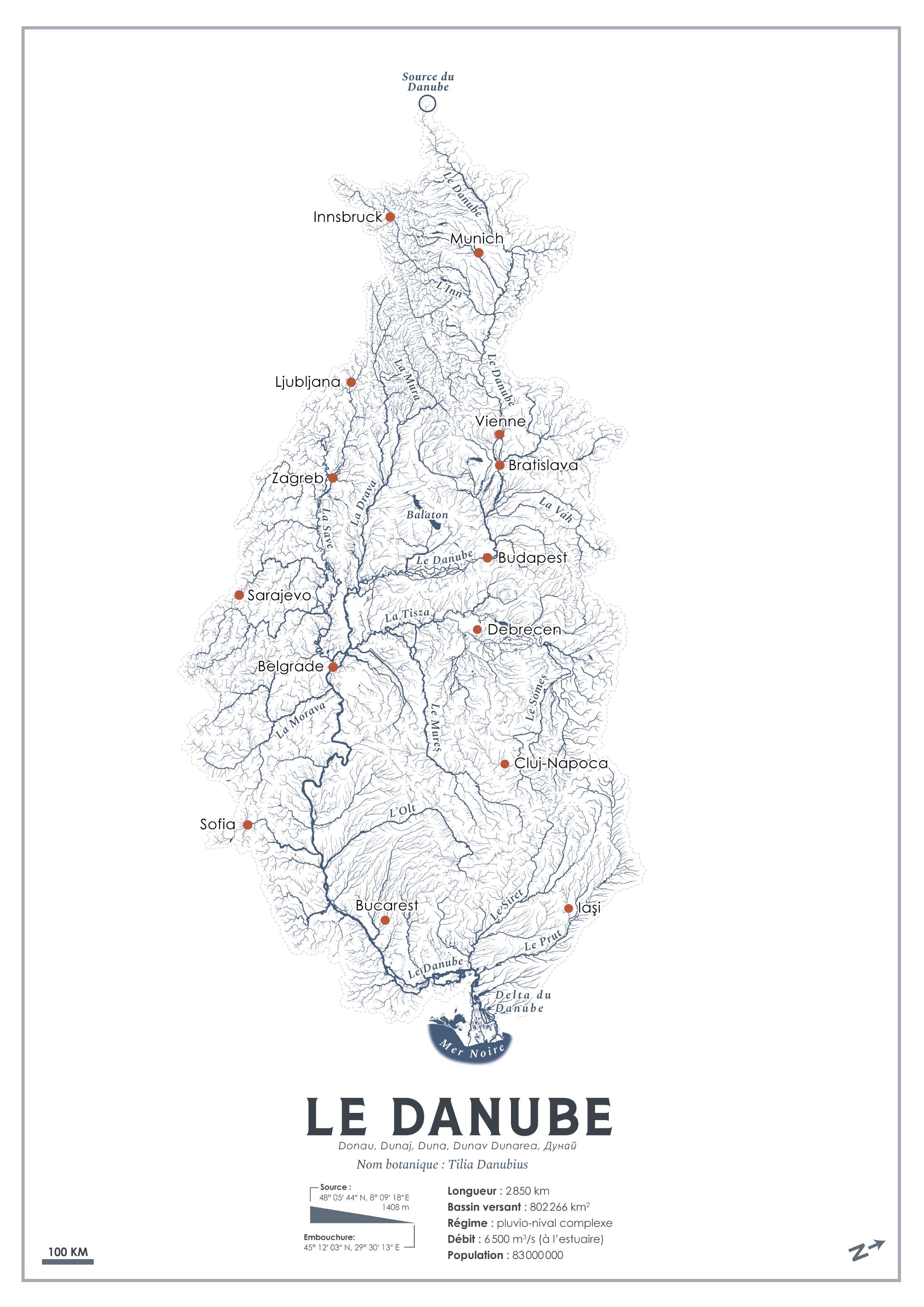
Danube River Tree Transformation Map
This intriguing visualization titled "What if rivers turned into trees?" presents a unique and imaginative take on the D...
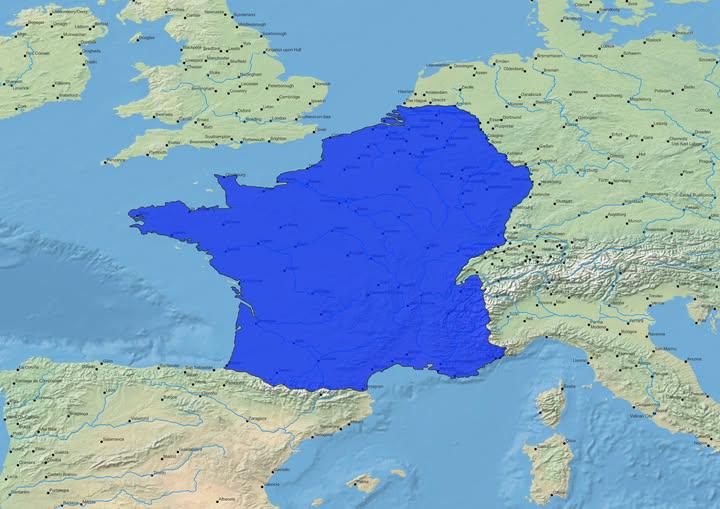
Map of the Natural Borders of France
The visualization titled "Map of the Natural Borders of France" illustrates the geographical features that have historic...
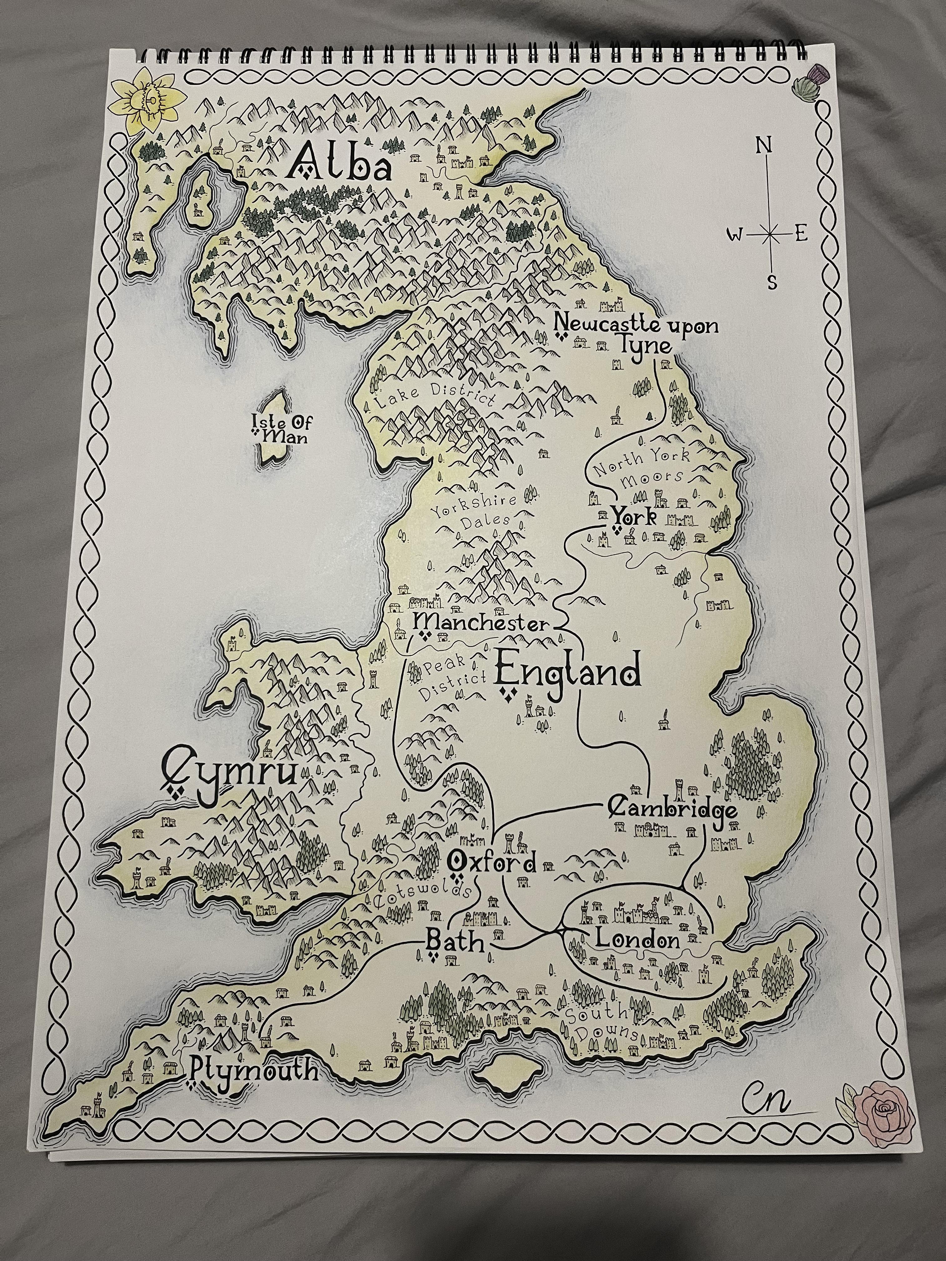
Fantasy Map of England Overview
This fantasy map of the British Isles, with a specific focus on England, presents a whimsical yet informative portrayal ...

Map of Canada's Named Water Features
This detailed map provides a comprehensive overview of Canada's named water features, showcasing over 224,000 distinct e...
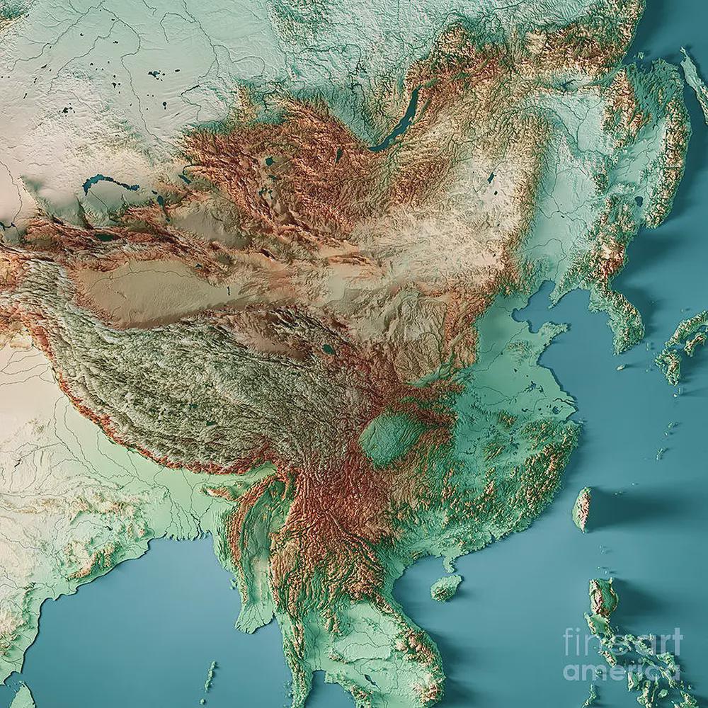
Topographic Map of East Asia
The East Asia topographic map presents a detailed view of the region's geographical features, highlighting its diverse e...
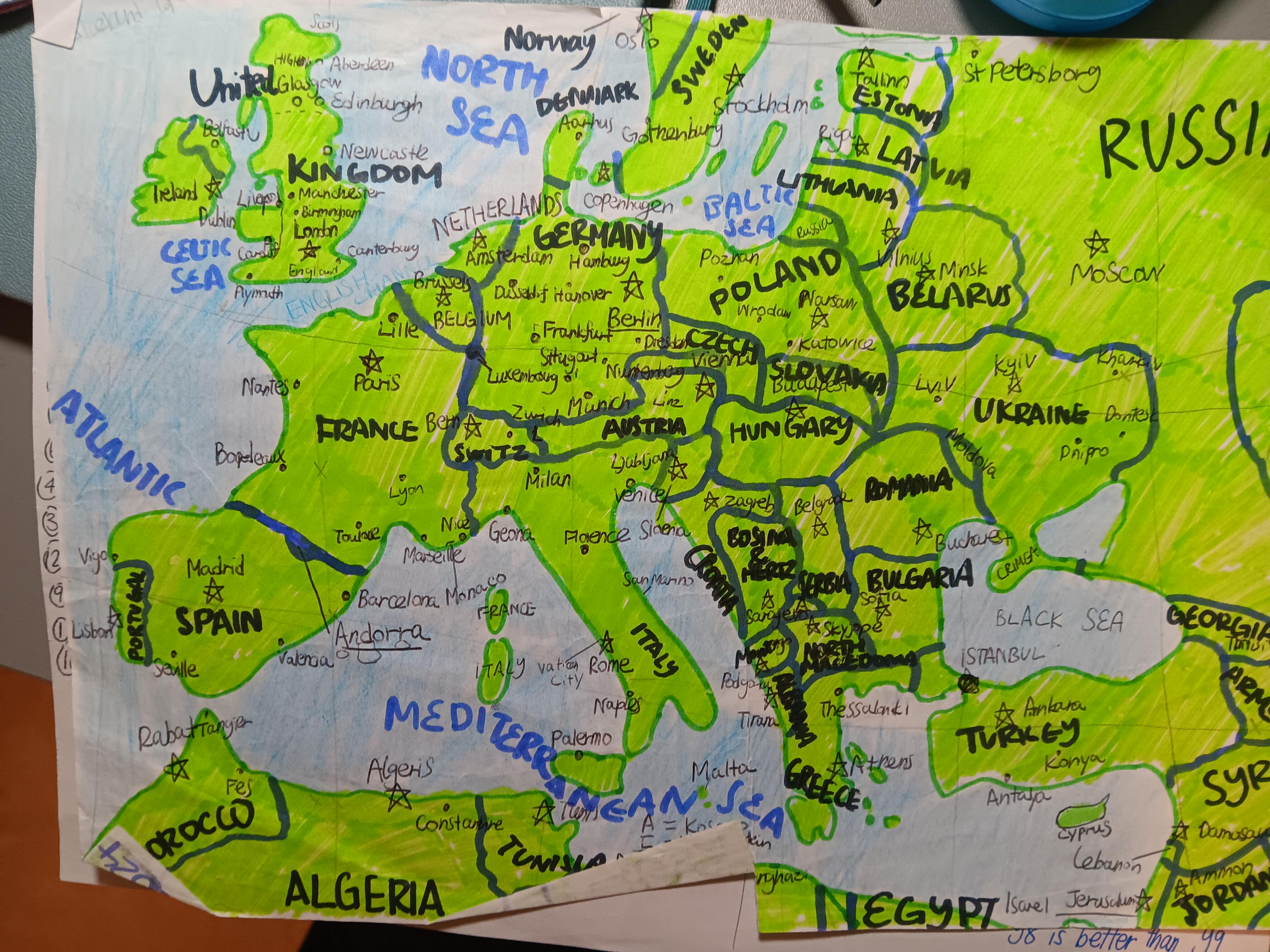
Hand-Drawn Map of Europe
One of the most fascinating aspects of European geography is its varied climate zones. Northern Europe experiences a pol...