maritime trade Maps
5 geographic visualizations tagged with "maritime trade"
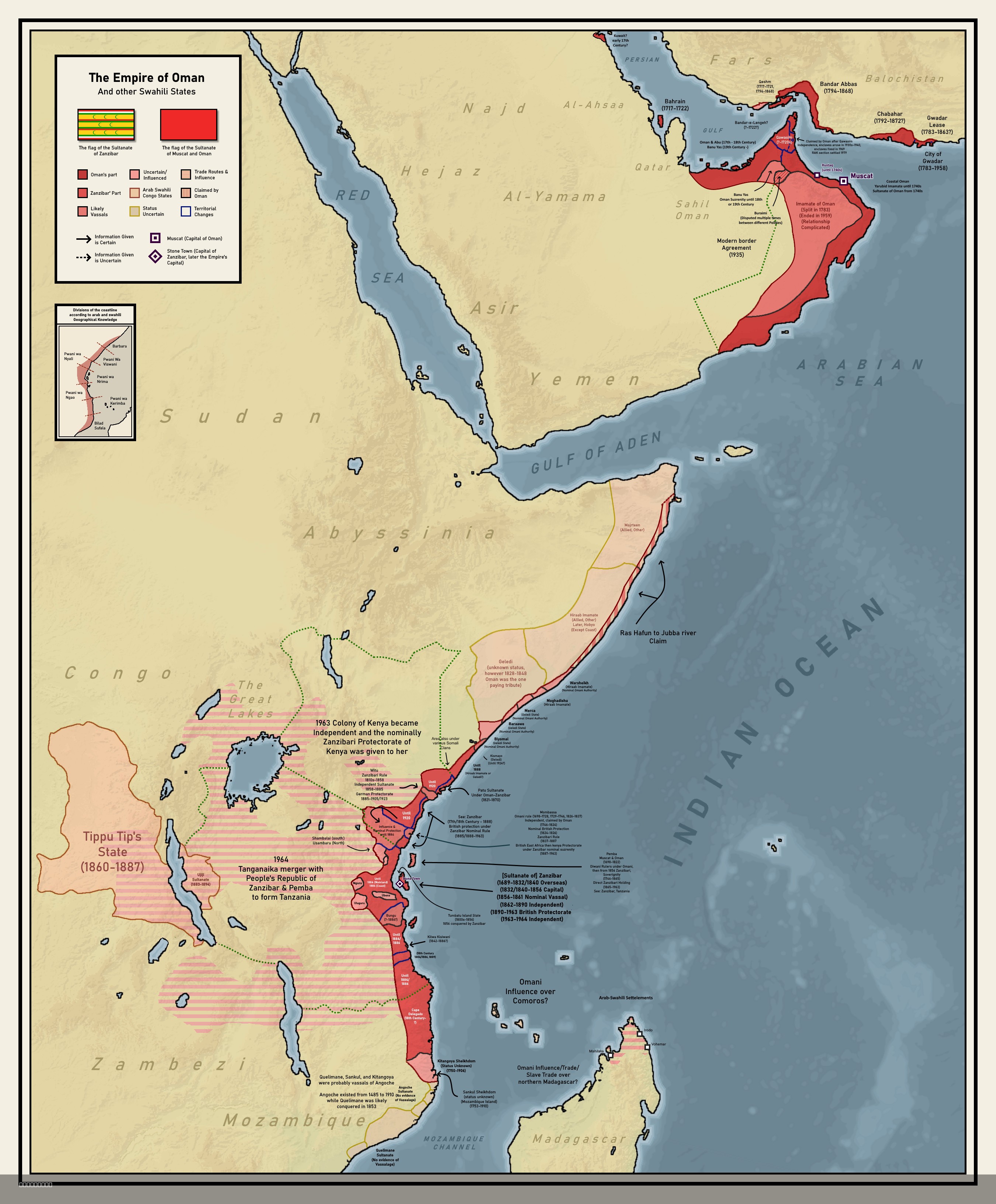
Colonial Empire of Oman Map 1696 to 1856
The map titled "Forgotten Colonial Empire of Oman from 1696 to 1856" illustrates the extensive territorial reach of the ...
👁 146📅 8/6/2025
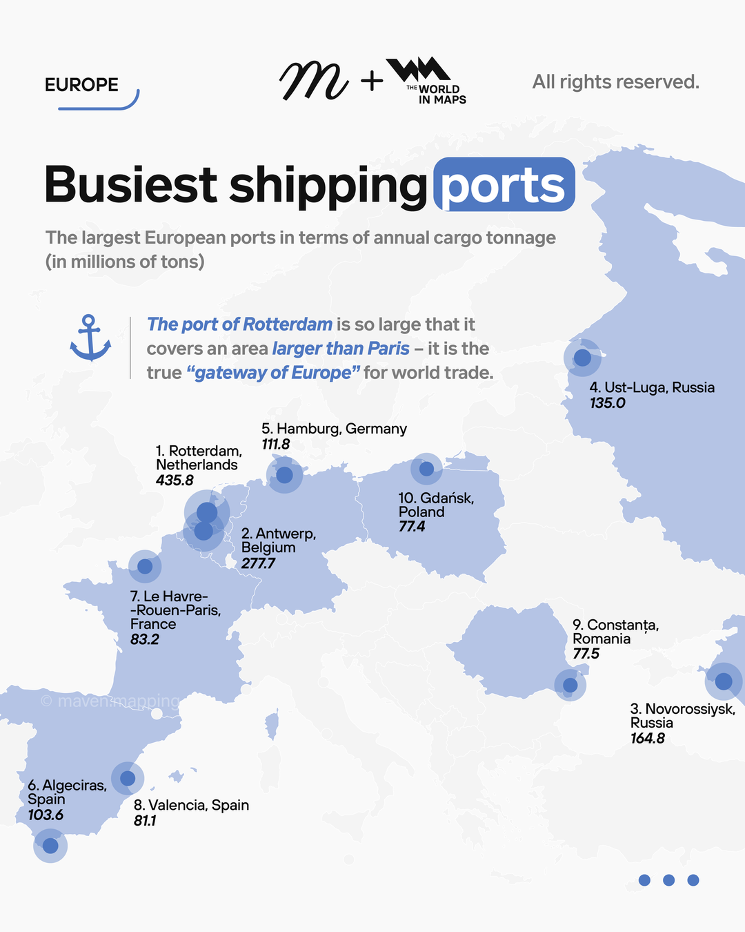
Largest European Ports by Cargo Tonnage Map
The map titled "The Largest European Ports in Terms of Annual Cargo Tonnage" provides a comprehensive overview of the ma...
👁 68📅 9/6/2025
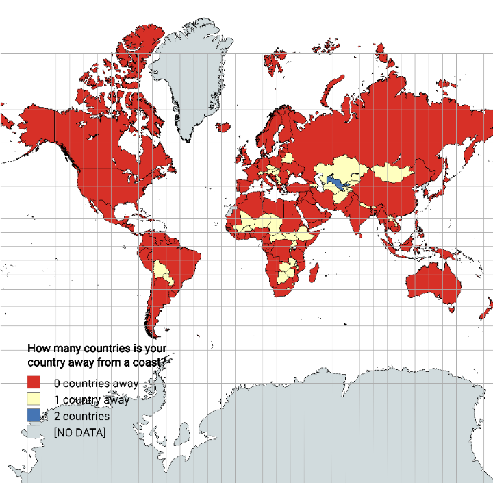
Distance from Coastline by Country Map
The "Distance from Coastline by Country Map" visually represents how far each country is from the nearest coastline. Thi...
👁 74📅 8/27/2025
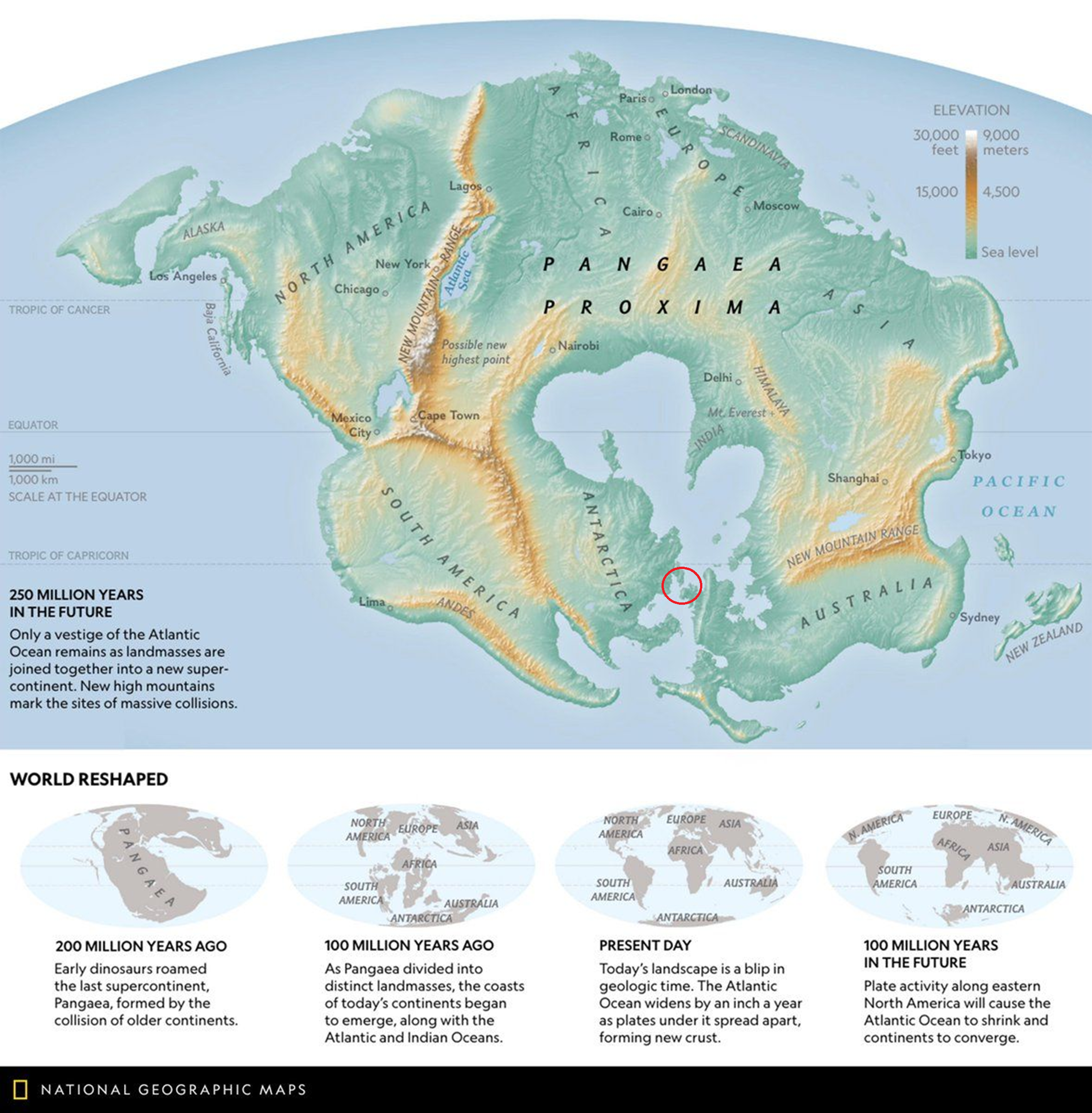
Dominant Straits and Maritime Trade Map
These straits are not just geographical features; they are the lifeblood of international trade and naval power. If any ...
👁 126📅 8/17/2025
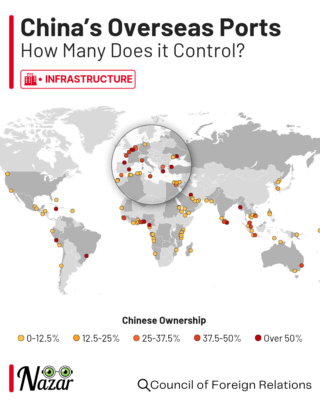
China's Overseas Ports Map
This map illustrates the extensive network of China's overseas ports, highlighting their locations and significance in g...
👁 182📅 8/26/2025